

|
|
||||||
| A site based around our obsession. | |||||||
Rubicon Trail |
These are some of the trails we've taken. All waypoints and Trail Tracks were taken using a Magellan Sport Trak Pro GPS. All 2D and 3D Map shots were used using Magellan Mapsend Topo 3D. Earth shots are used using Google Earth Plus. |
Rubicion: Location: Between Ice House Road on Hwy 50 and Homewood, CA on Hwy 89. |
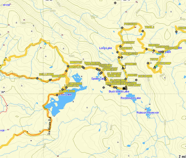 |
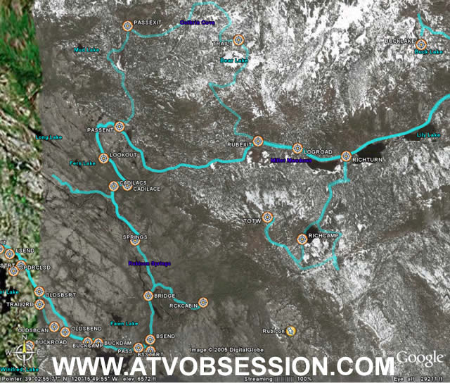
| This is an overhead 2D view of the trails we've taken on and around the Rubicon. |
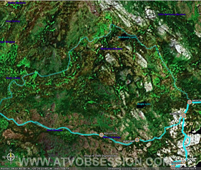 |
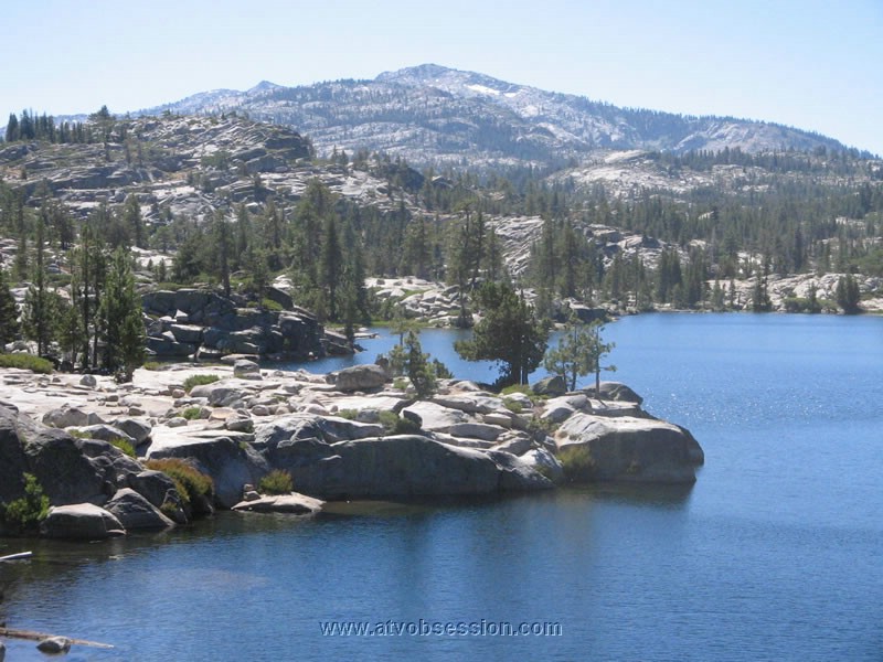
| Satellite shot of the loop around McKinstry Lake from Wentworth. |
 |
| 3D Topo Map. The start of the Rubicon...Loon Lake. |
 |
| Loon Lake start. You can see Gatekeeper...then the white-ish area after, is the bowl. |
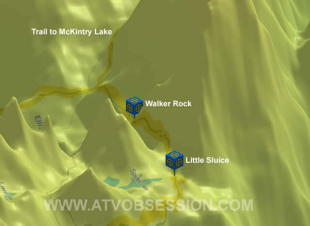 |
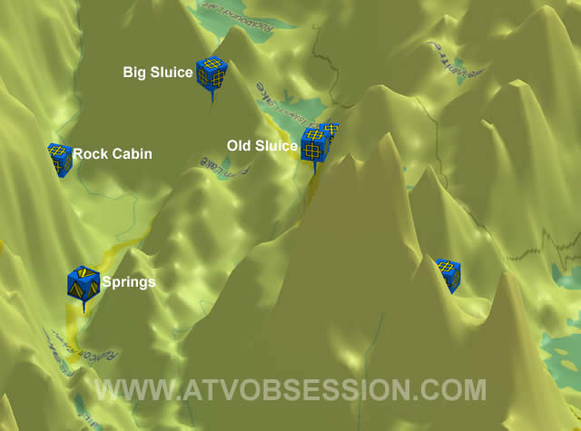
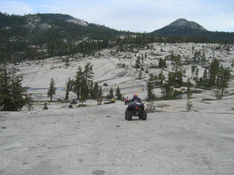
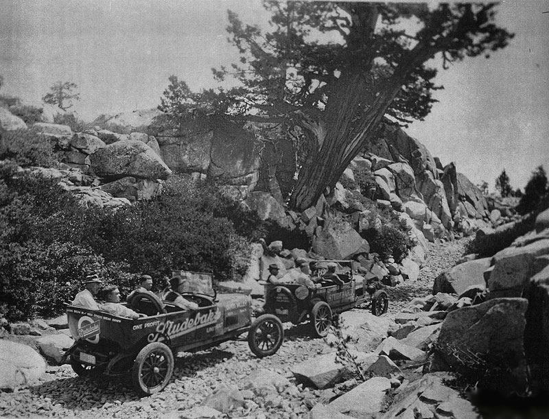
| Around the Spider Lake area. Waypoints on Walker Rock and the Little Sluice. Back in the early 1900's, the Little Sluice Box was a little different. Gee..wonder who pulled the rocks in? Hmmmm. |
 |
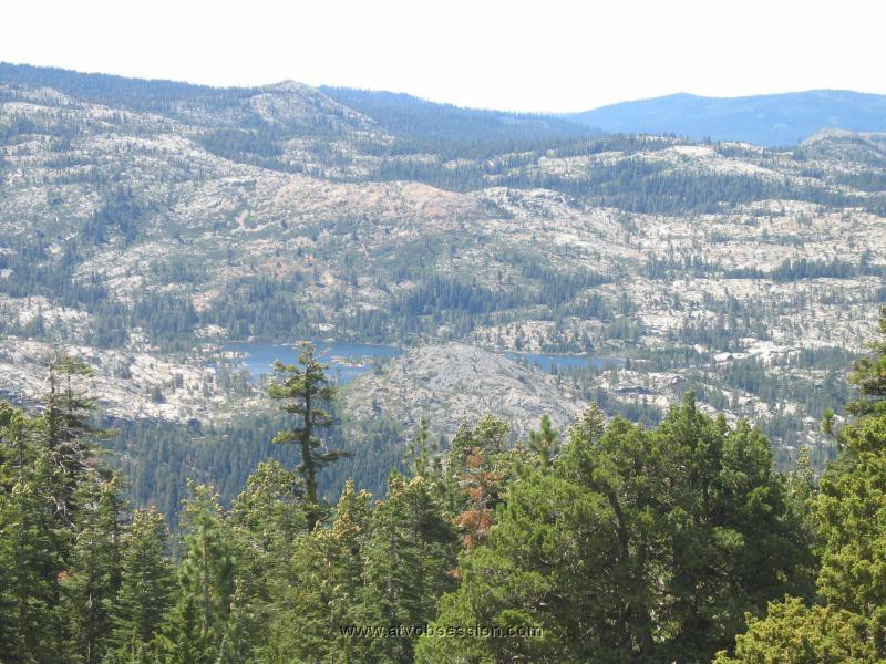
| Satellite view over Spider Lake. The black and white section to the right, is more detailed allow a closer look. |
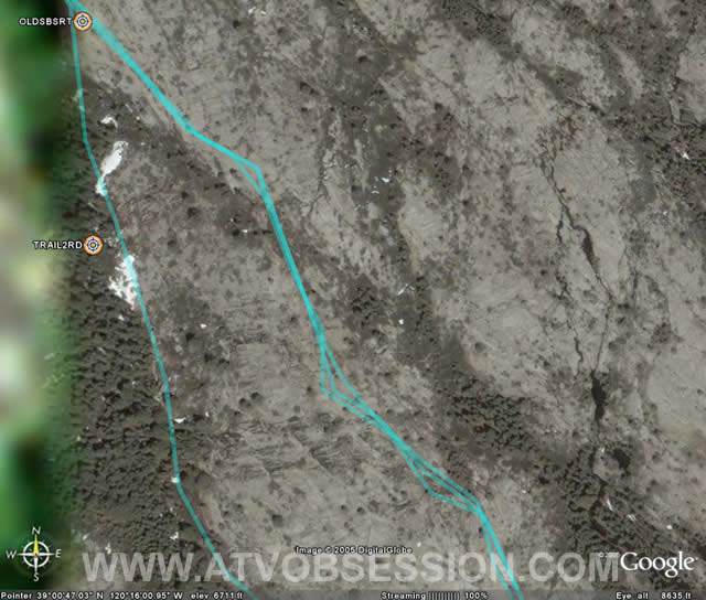 |
| The Old Sluice box is the track on your left. The more traveled tracks on the right, is the "Slab". |
 |
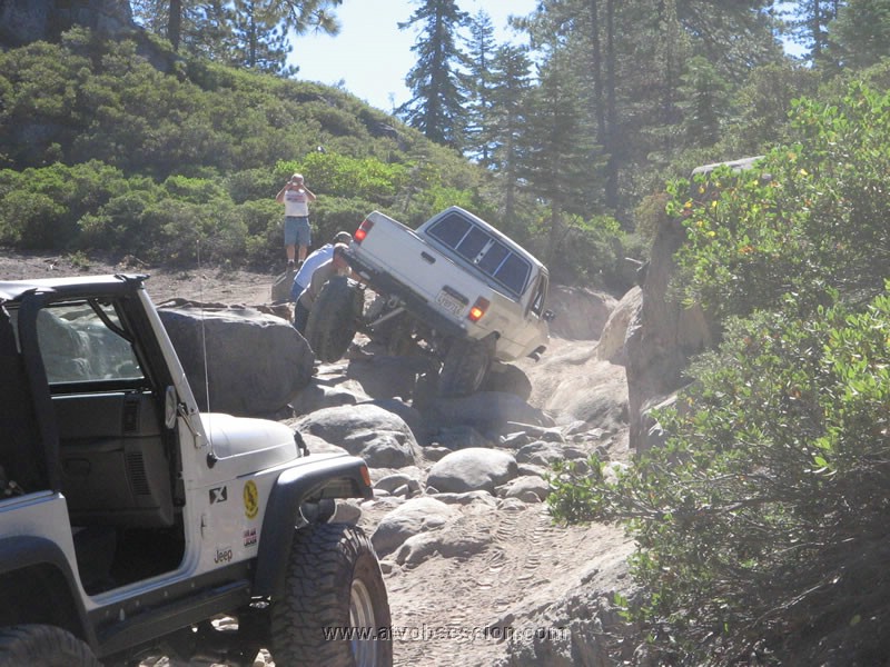
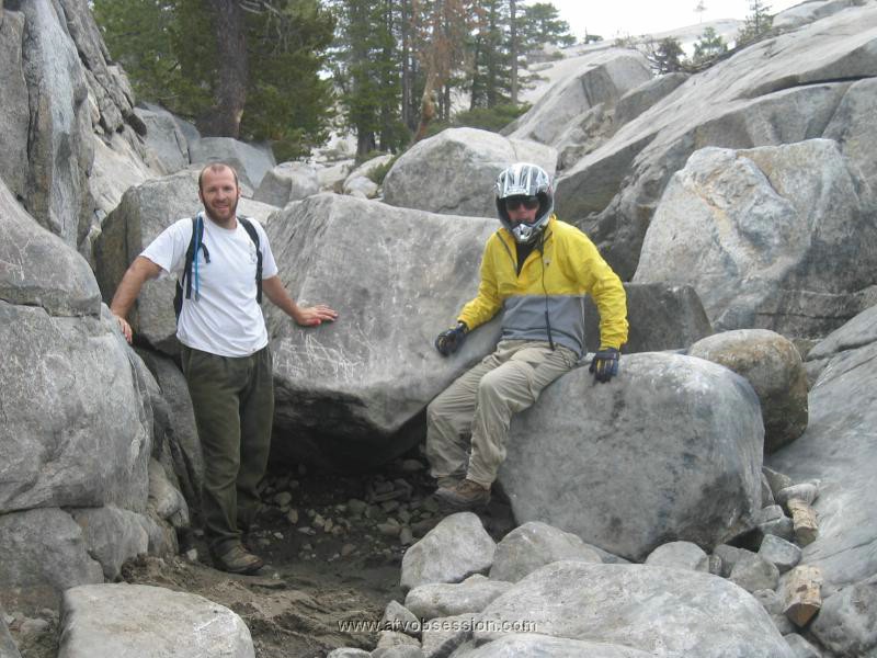
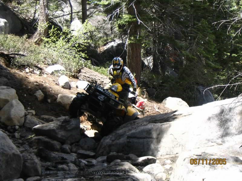
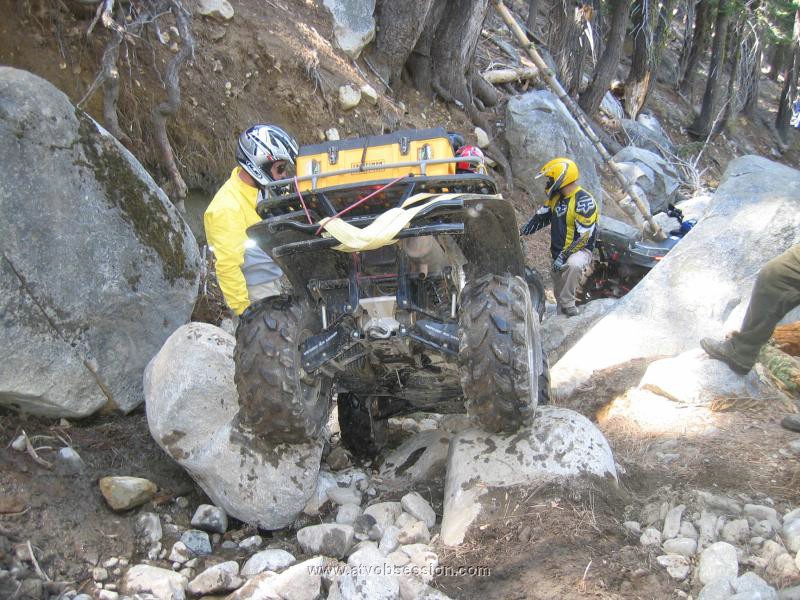
| Here the Old Sluice links back up with the bottom of the Slab. The Slab is the "easier" to get down, but definitely MORE dangerous. Many have rolled to the bottom here by losing Center Of Gravity. The Old Sluice box is definitely harder on the vehicle. It has some narrow spots combined with big rocks. |
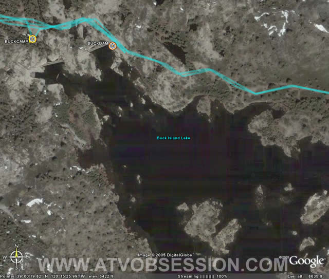 |
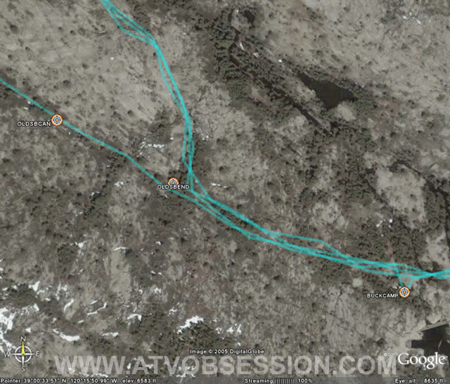
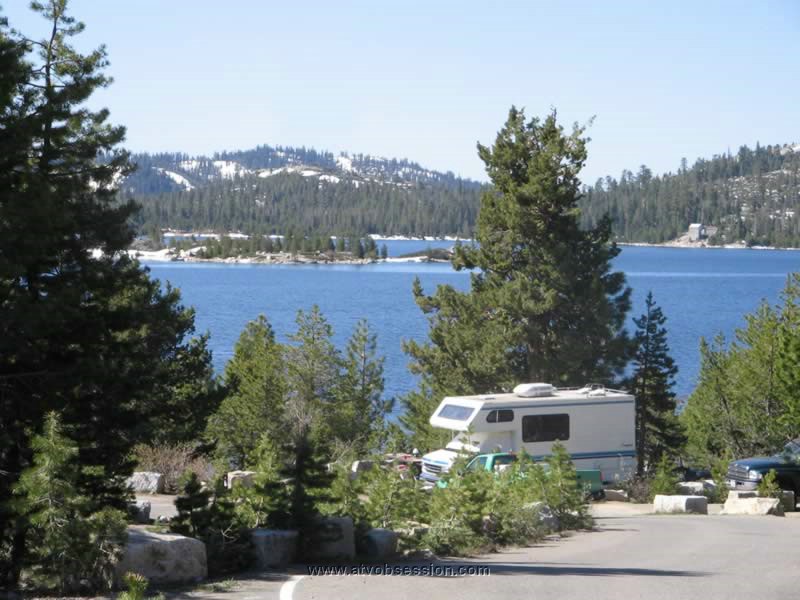
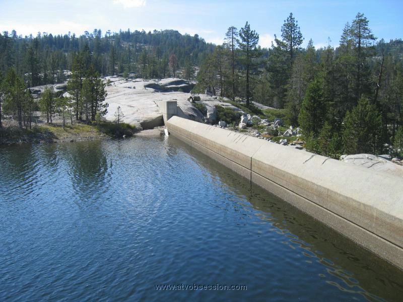
| This is Buck Island Lake. There is some nice camping around here...plus a dam built by the Army Corp Of Engineers to cross. |
 |
| Leaving Buck Island Lake, you head toward the Big Sluice Box. |
 |
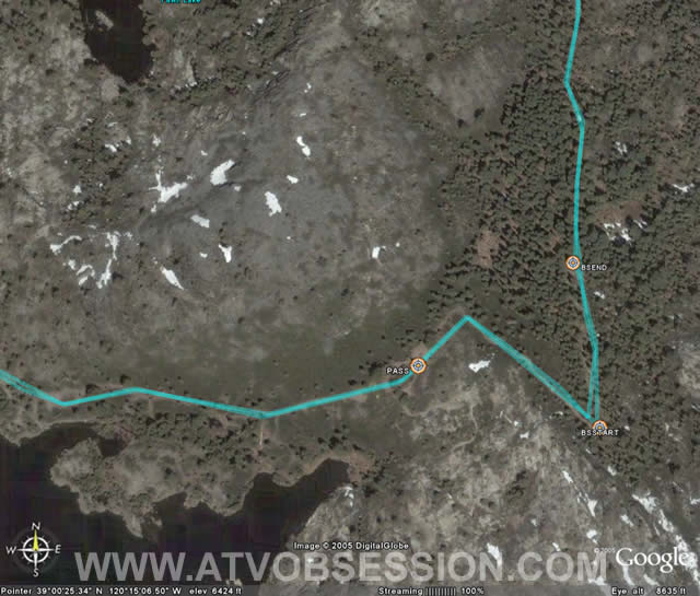
| There's a long downhill, before you head for the Left Turn over the Big Rock. |
 |
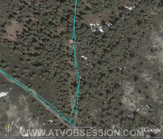
| The last section after the Big Sluice, isn't any piece of cake. |
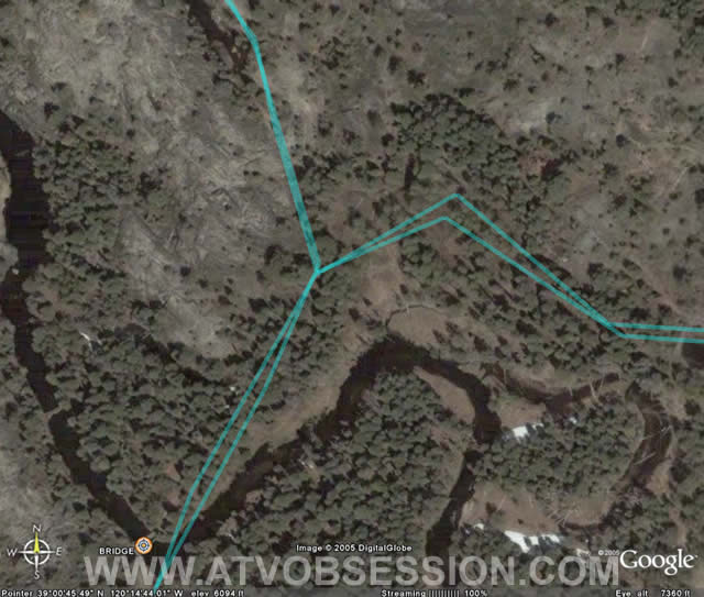 |
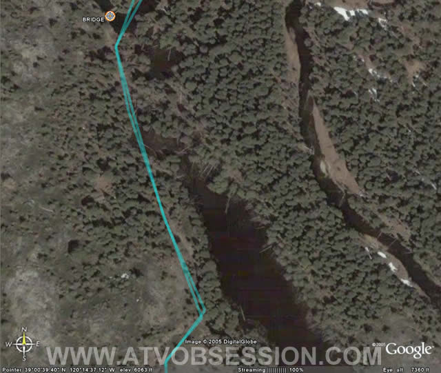
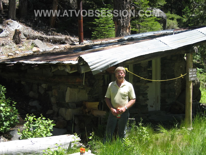
| After, you cross the Bridge over Rubicon Springs. The road to the right, is a foot path, over to the Rock Cabin. |
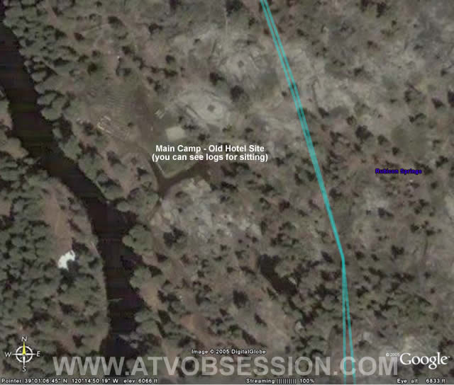 |
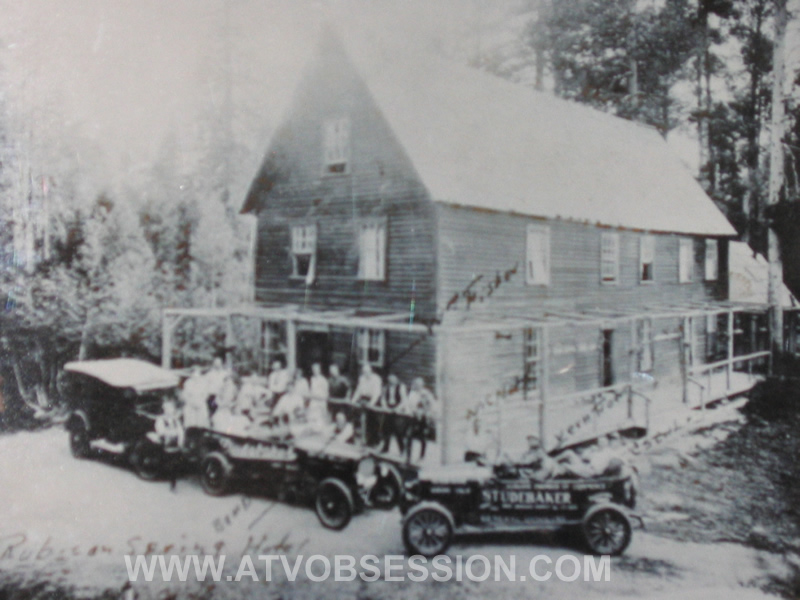
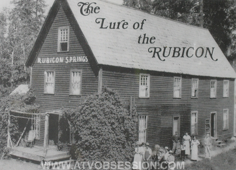
| The main camp for the Jeeper's Jamboree. This is the site of the original Rubicon Springs Hotel. Back in the early 1900's, the Rubicon Springs Hotel (Circa 1910)was a vacation spot. Now, the site has the Rubicon Springs Caretake house. The house uses the same footings from the original hotel. |
 |
| The Rubicon Springs area. But you can still see waypoints on the Big Sluice and Old Sluice box, near the slab Of course, being that the trail is only 22 miles, and basically a big U it's not surprise it's so close together.. |
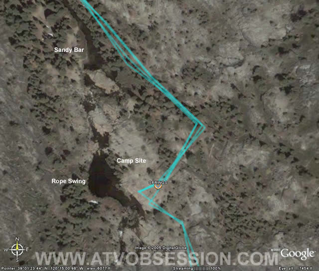 |
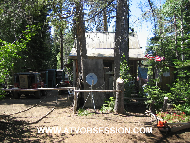
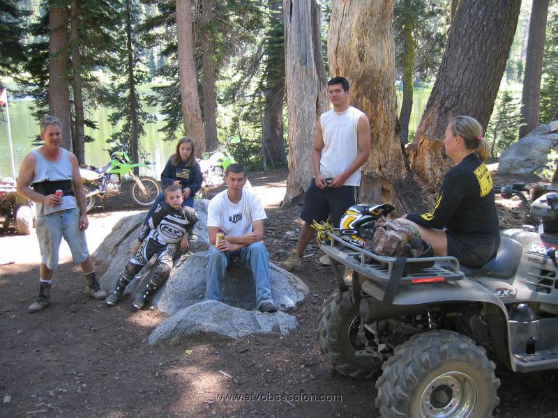
| Here's the main Rubicon Springs camp area. There you will find a Rope Swing that has been there for years. |
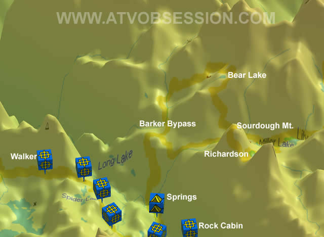 |
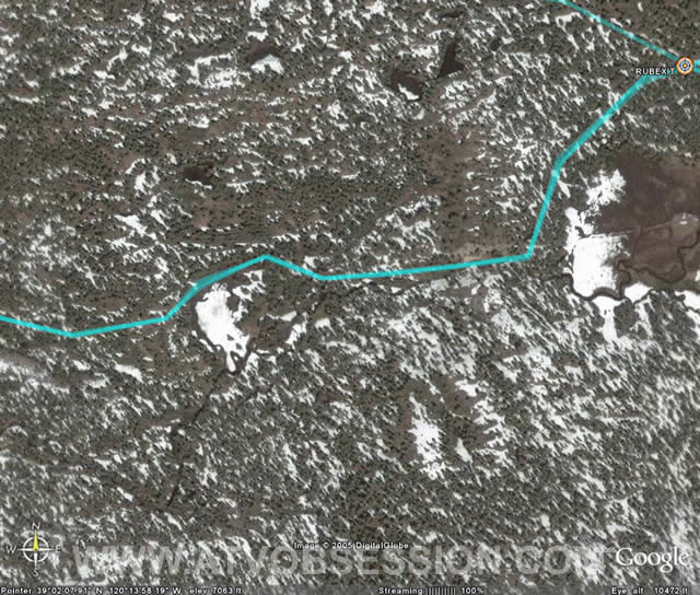
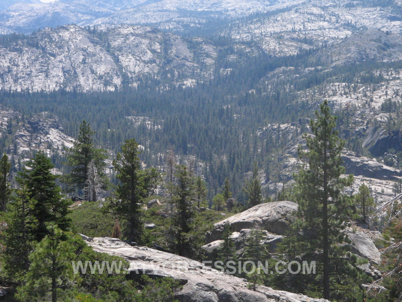
| Looking back toward Cadillac Hill. Richardson Lake and Sourdough Mountain are up high on your right. |
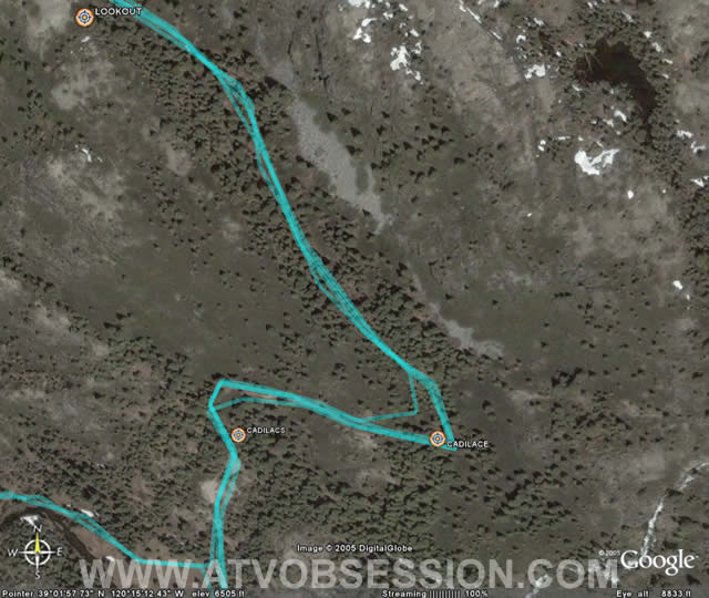 |
| Here, the trail goes up Cadillac Hill to Lookout. |
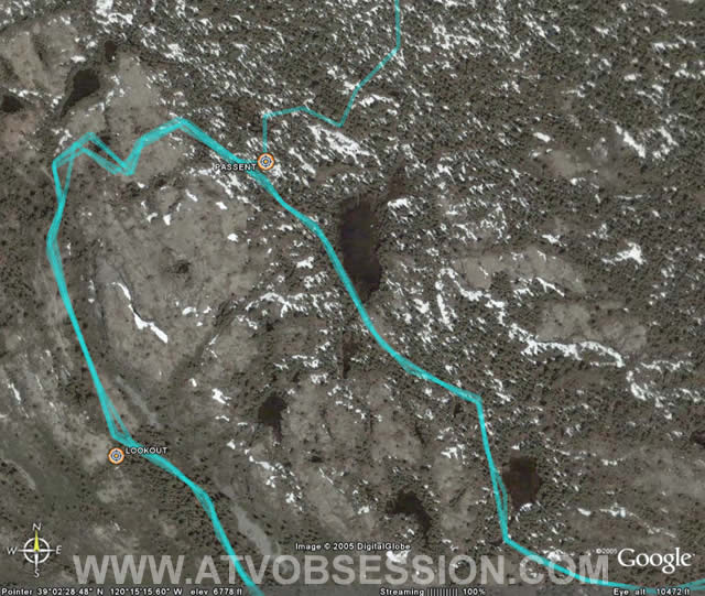 |
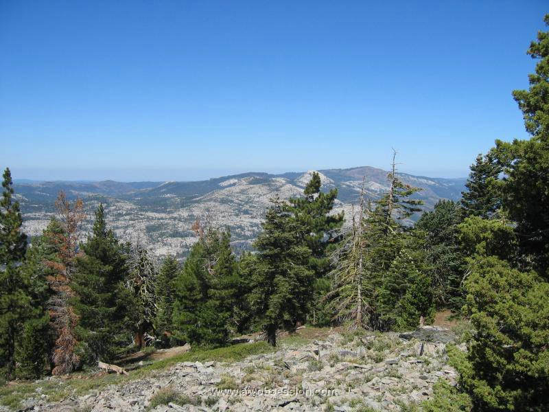
| Here the trail goes past Lookout, and makes a slow U-turn. The road going off at the top, is the Barker Pass Bypass. It's roughly 1.4 miles long and requires a right turn to go back toward Miller Lake. |
 |
| The trail is relatively straight, with some elevation changes and a final rock field before exiting on Barker Pass Road. |
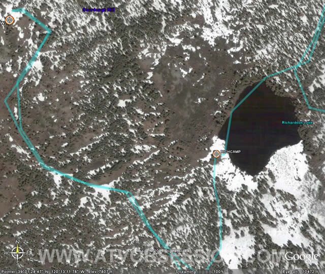 |
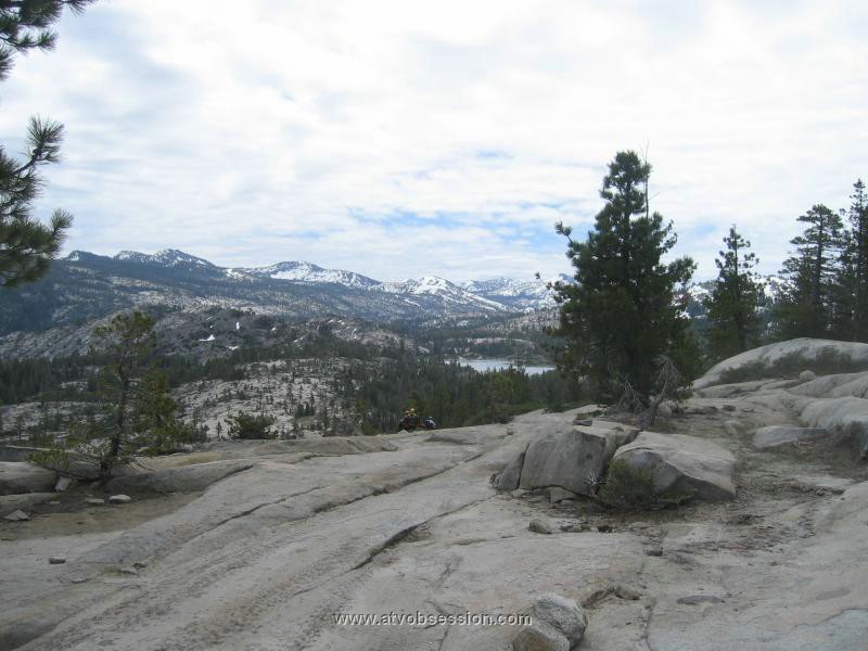
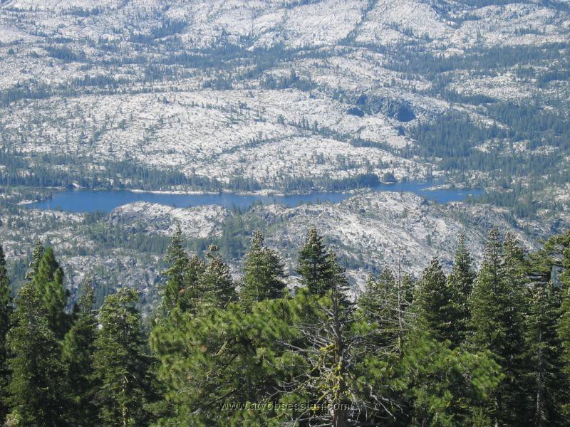
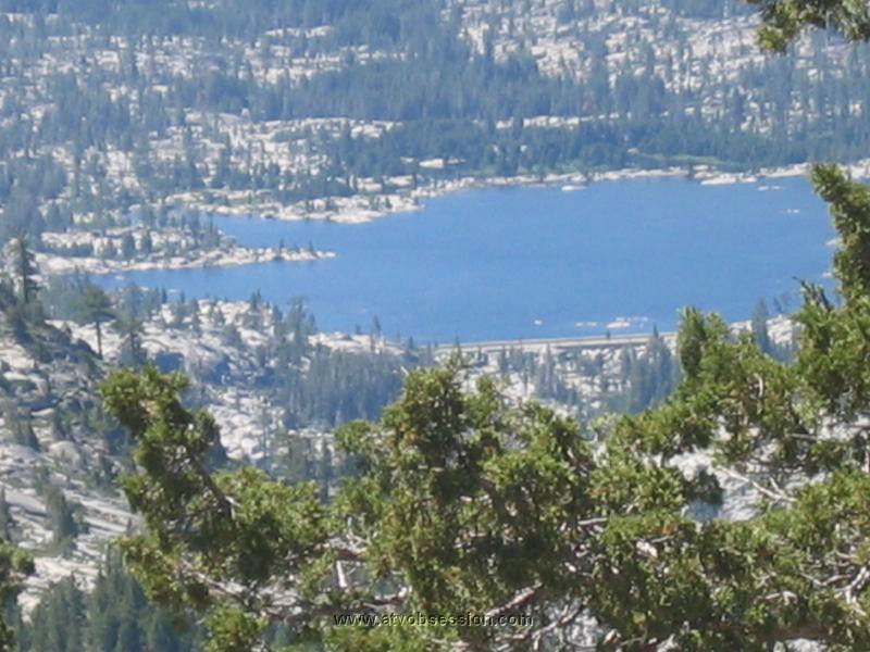
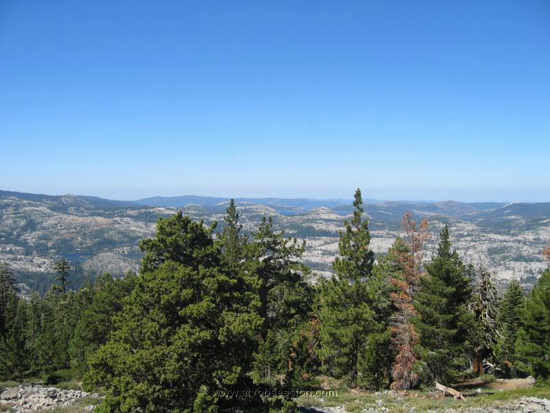
| Another awesome diversion after the trail, is heading up to the Top of Sourdough Mountain. We call it..."Top Of The World", cause the view Rubicon Resevoir, Rockbound Lake and afar is spectacular. Take the Richardson Lake turn, at the lake turn left and head up to the top. It's pretty steep at the top. |
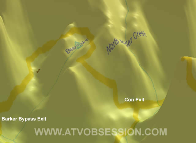 |
| The Rubicon exit, near Bear Lake. If you use the Barker Pass, you'll go around Bear Lake to reach the "real" Rubicon Exit. |
 |
| Here's an overhead shot of the entire last part of the Rubicon Trail. |
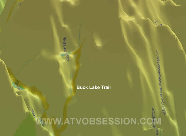 |
| Near the Staging Area. Buck Lake is a steep and challenging diversion. If you have extra time and your ass isn't too sore, make the left just before the Staging Area and hit Buck Lake. |
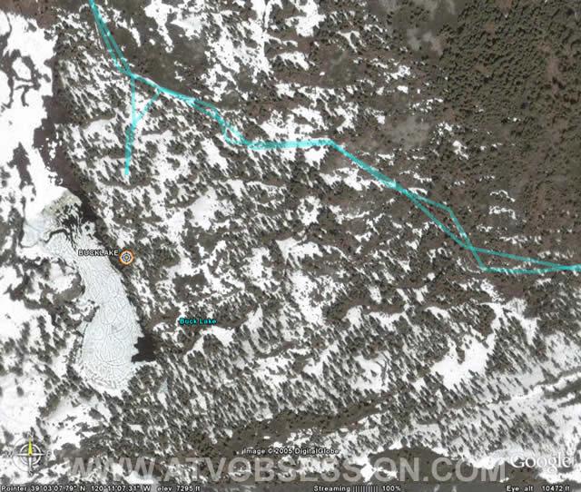 |
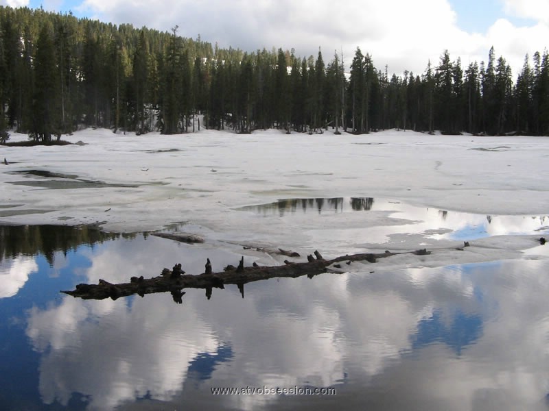
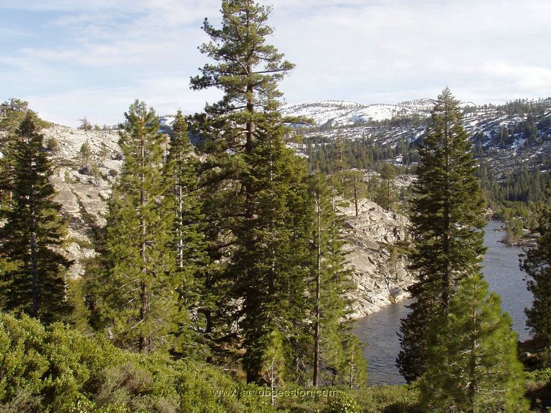
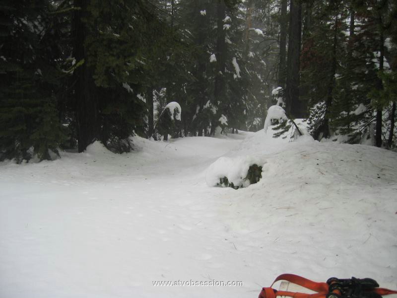
| You can still see the snowmobile tracks on a still frozen Buck Lake . |
| Click Here To download a sample of my Rubicon Tracks |
,%20Kenan%20(Mini-me),%20and%20Miren..jpg)