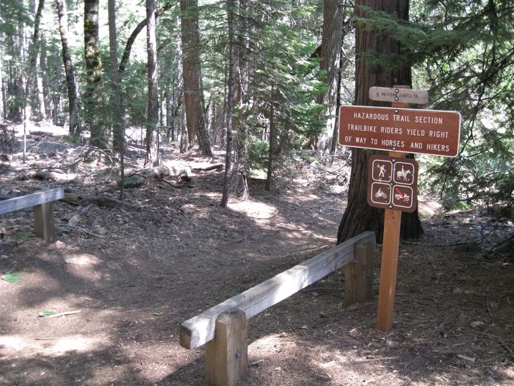
First stop is where the Western States Trail (Michigan Bluff to Last Chance section here) heads down the canyon.
Right alongside the trail as it drops away from the ridge is Devil's Thumb, a lava pinnacle.
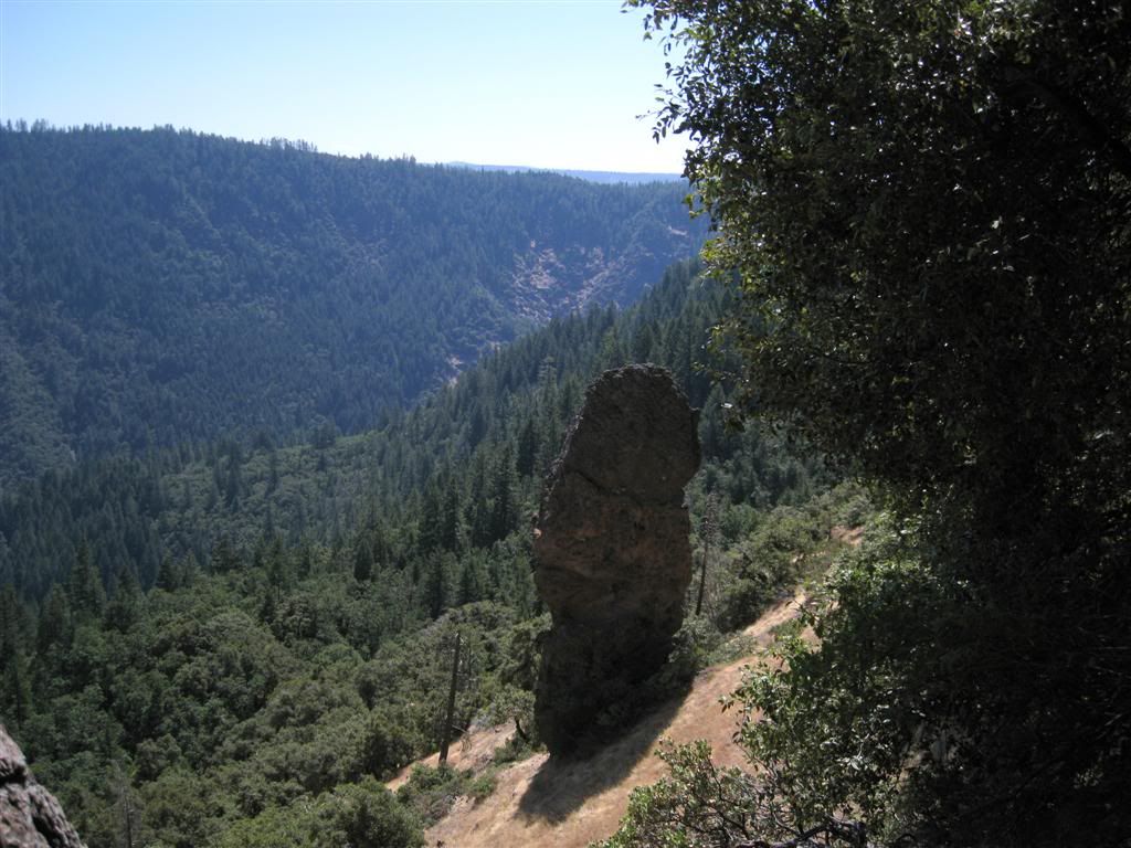
Across the canyon is Last Chance and the Pacific Mine, where this trail ends up.
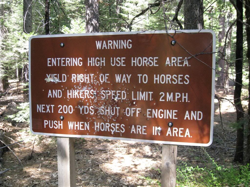
You need to BEHAVE!
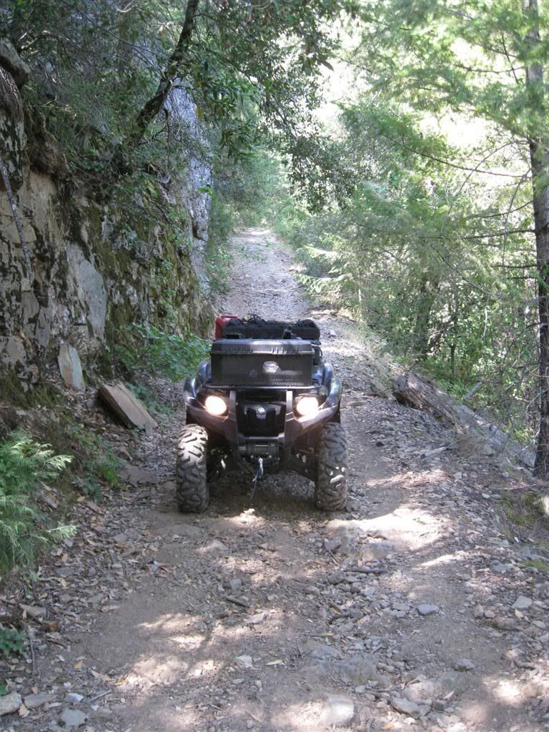
Further down the ridge is the old jeep road - narrow, and fun!
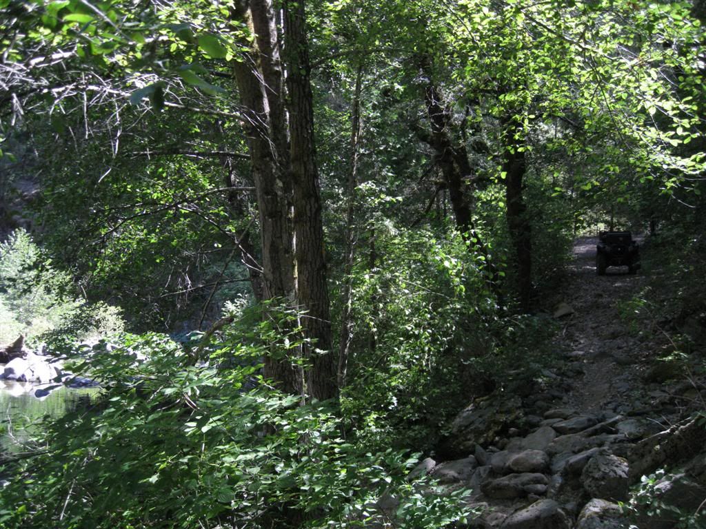
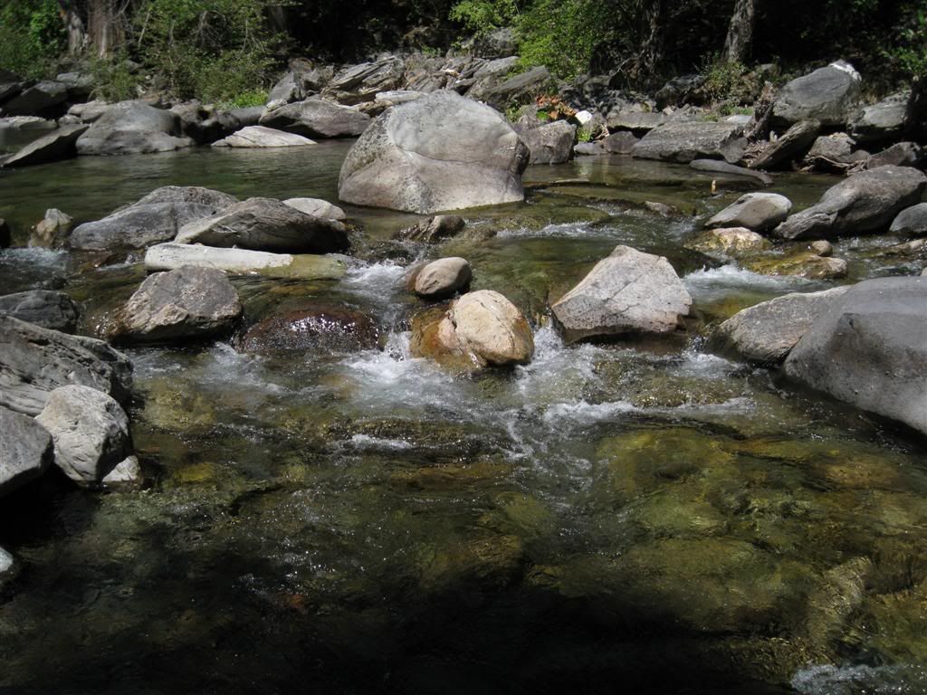
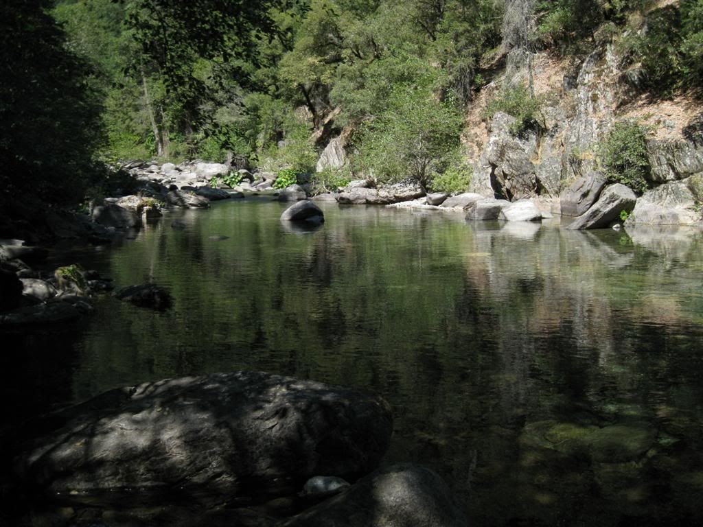
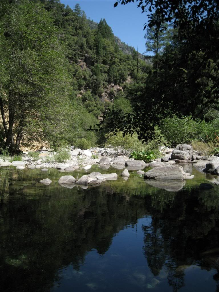
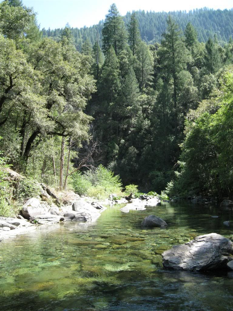
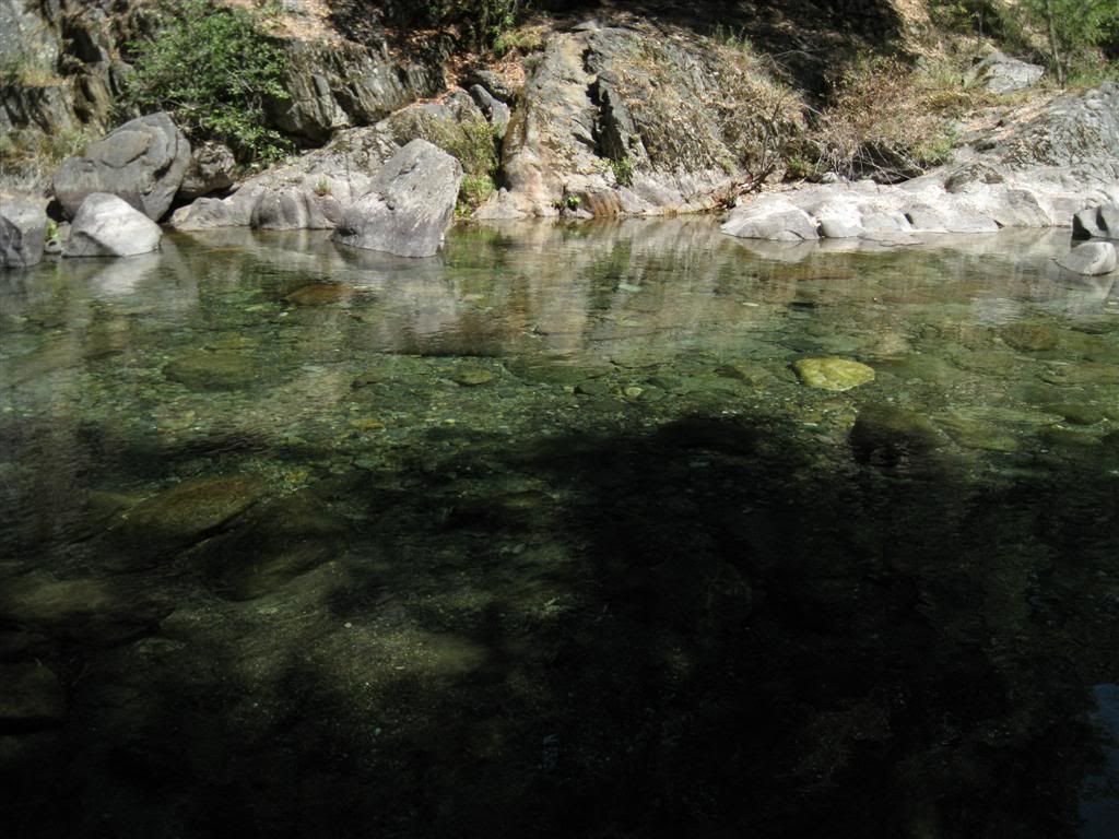
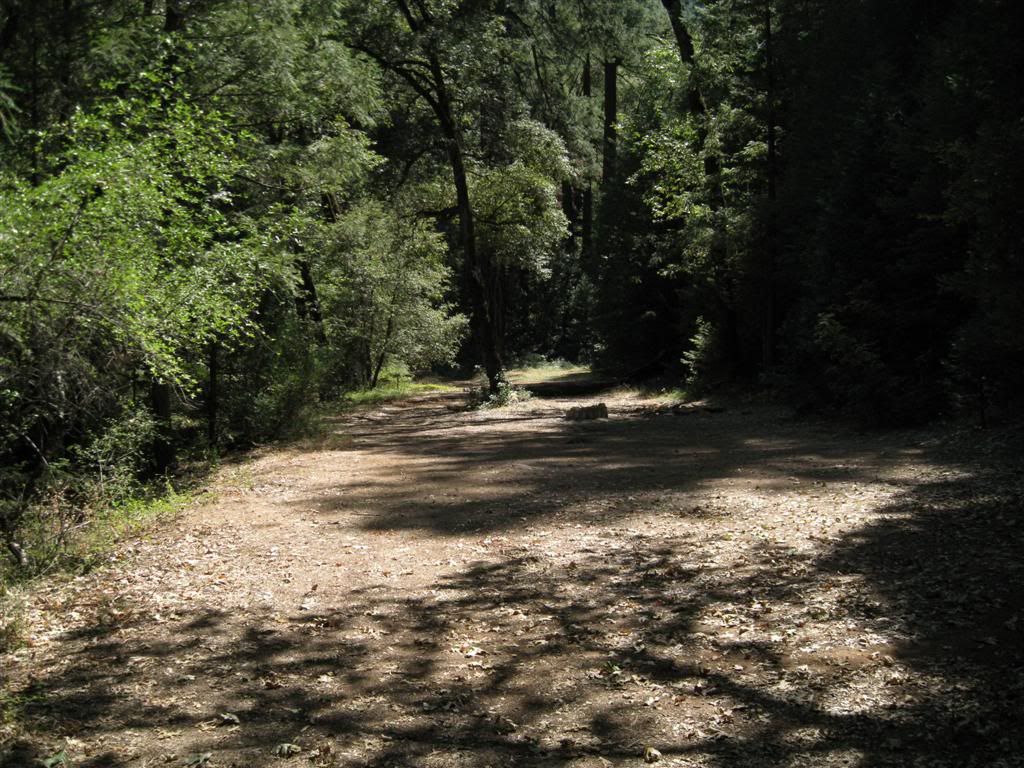
At the bottom is the North Fork of the Middle Fork American River. The road comes right down to it. (water at left, road at right)
Nice spot!
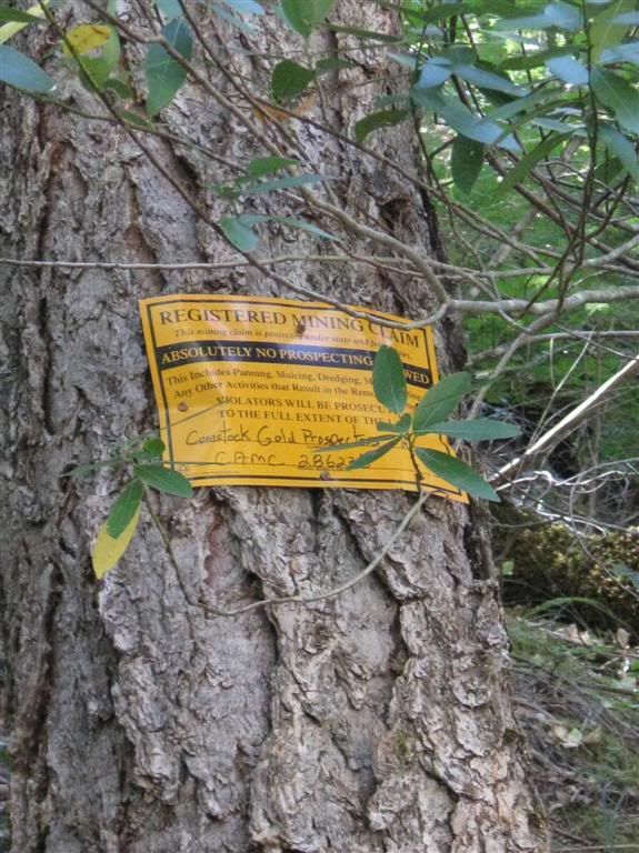
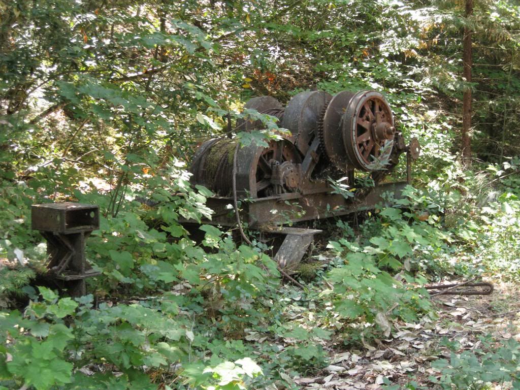
It's all mine-claimed...
There's a flat just above the river - obviously a good camp spot.
No earthmoving machines, but there is some mine equipment here.
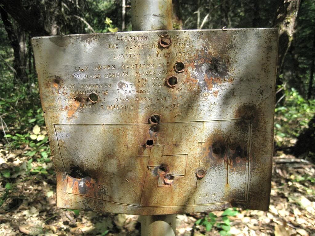
And some original mine info.
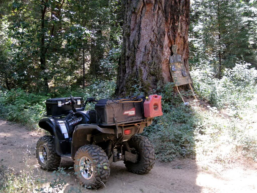
And a really big old tree, surrounded by poison oak.
That's the highlight, most of the rest of the mileage was stub roads with no real views.
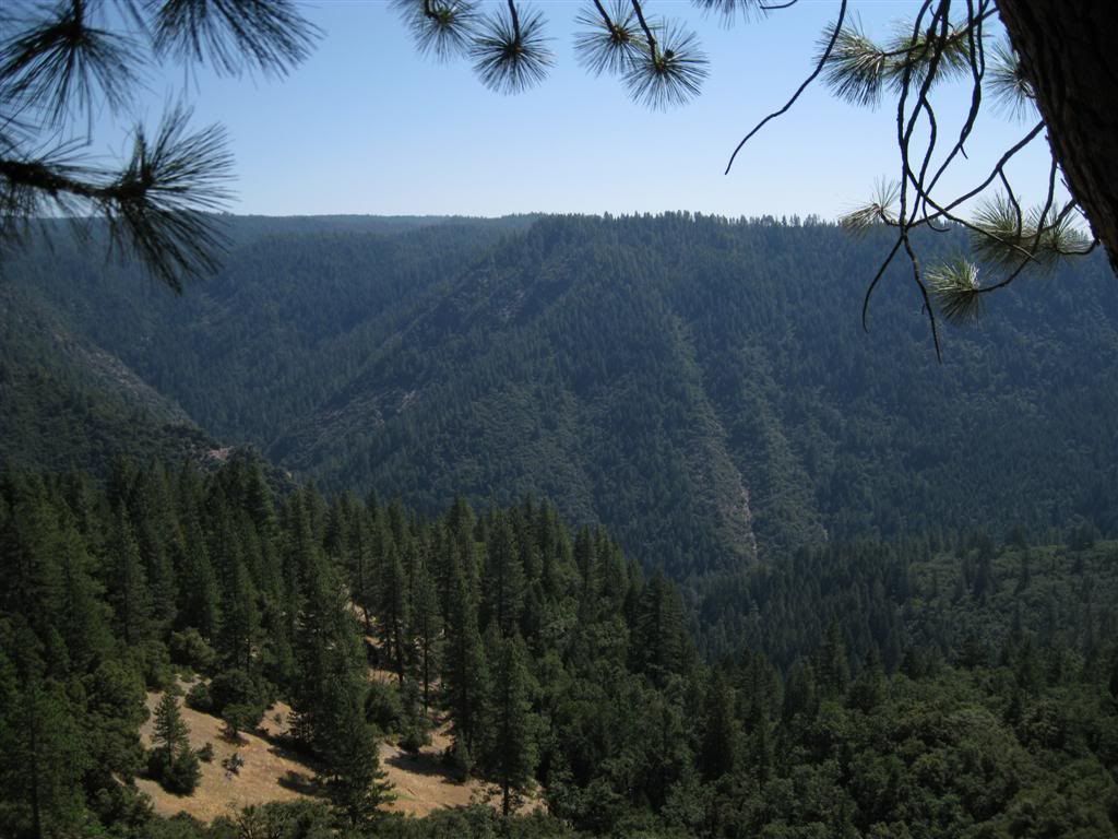
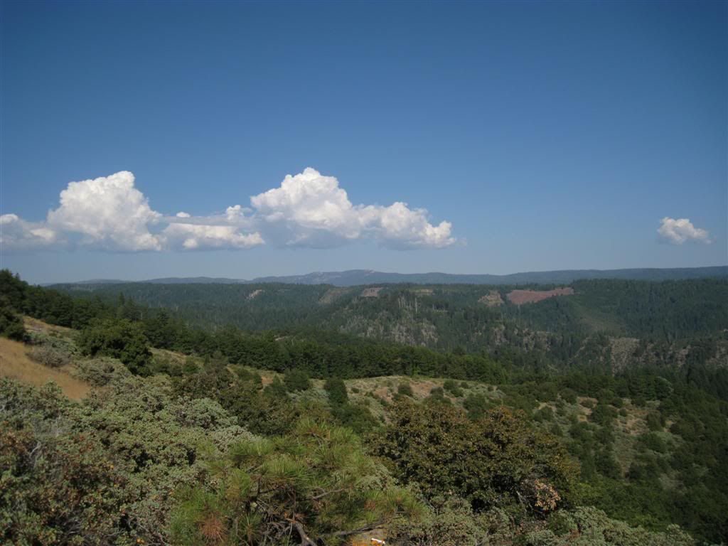
Here's a pic from Chicken Hawk Ridge, looking back at Deadwood Ridge (it's the 2nd one here - with the open areas that are a reddish color, the small ridge below here is Codfish Point).
Hot and dusty day, but the road to the river was a gem.