Went out to American Hill, at the center of last year's American Fire - FR-13 can be accessed off Foresthill Road at the old Carmac Mine (east of the paved part of FR-13 which begins at "The Hogback" just east of Westville.)
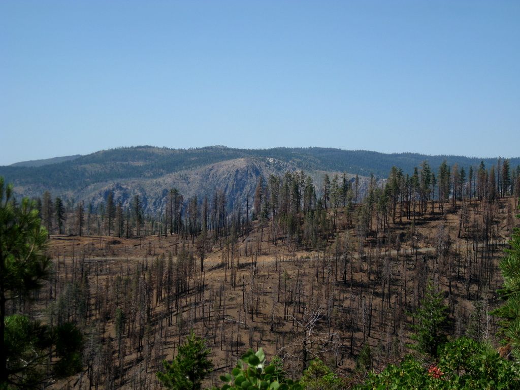
Unlike the Last Chance and Barney Cavanah Ridge areas, American Hill really got blasted.
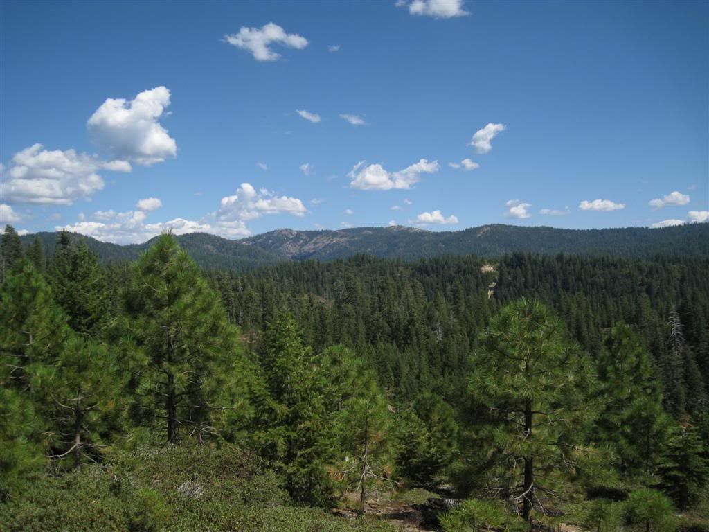
Here is American Hill in 2011.
Same area, today.
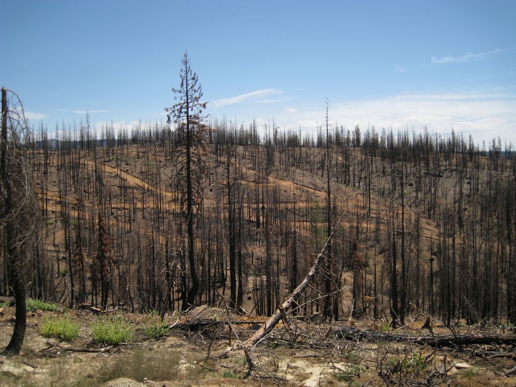
What skid trails look like when you can see them
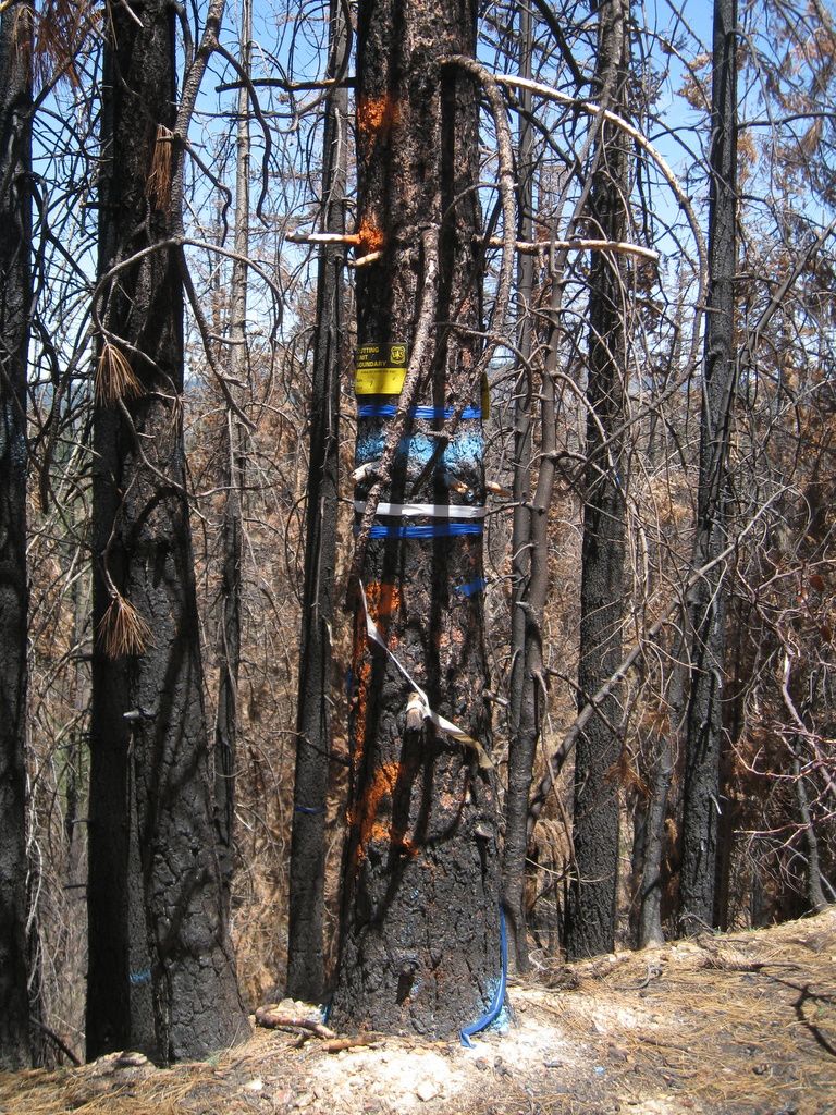
Just a few markings!
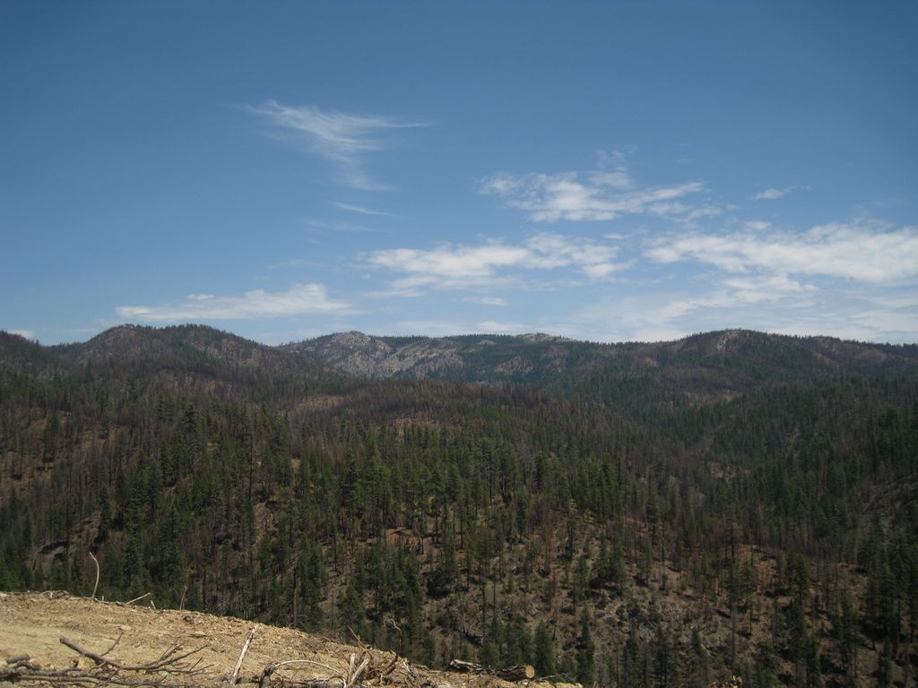
Duncan Peak and Little Bald Mountain - a hopscotch of burn and green between here and there.
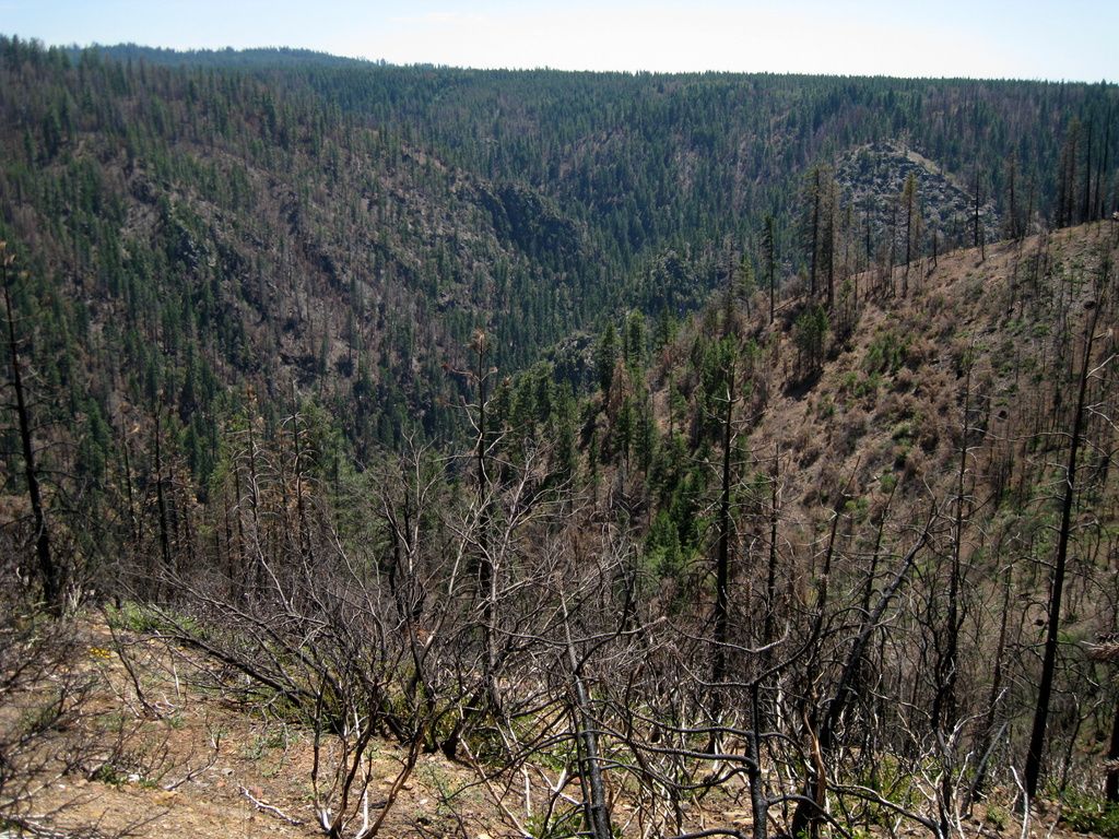
Screwauger Canyon - you can actually see it
You'd think someone could spare some change for a new sign. No, it was not burned.
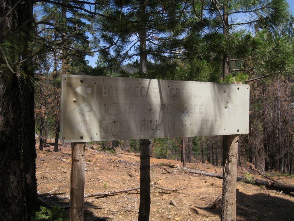
Odd old sign
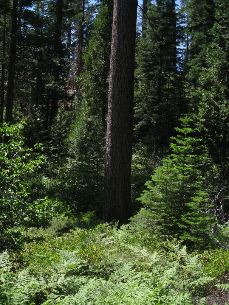
Deep green in Antoine Canyon
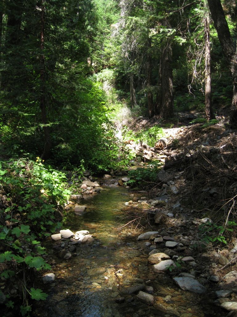
A pleasant little spot on Antoine Creek
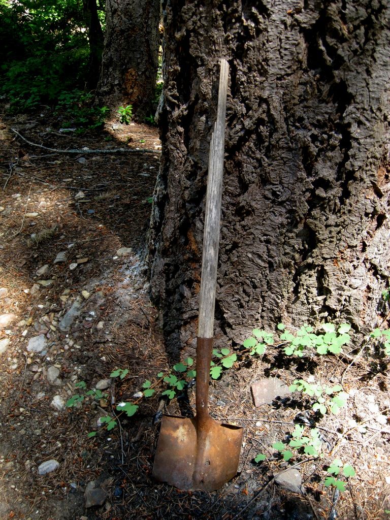
Old shovel - and it's not dug into the ground.
Looking towards Foresthill Road at Ford Point, with Monumental Ridge, Black Mountain, Lawton and Sawtooth Ridge visible.
American Hill
Moderator: hemingray
American Hill
Wherever I go, there I am
Paynes Creek 2016!
~~~~~~~~~~~~~~~~~~
16 Yamaha Wolverine R-Spec EPS SE
09 Yamaha Grizzly 700 FI 4x4 EPS
Paynes Creek 2016!
~~~~~~~~~~~~~~~~~~
16 Yamaha Wolverine R-Spec EPS SE
09 Yamaha Grizzly 700 FI 4x4 EPS
Re: American Hill
nice pics dave!. those skider roads really stick out! but i bet they get all redone when there done!
South Side Keeper
Paynes Creek 2017
Paynes Creek 2017
Re: American Hill
All they ever seem to do is put waterbars in.
That area is interesting to me - it's flat and open at the upper end and most of the little ridge roads go out to points over deep canyons. All of the roads, start to finish, have burned. There are pockets of green here and there, but the burn is never far. It's a great "explanation" of how fires can burn on the ground and just toast the lower part of the trees and yet other parts have reached towering trees where it's hard to understand where that kind of heat got generated.
Disappointing in how much green is gone. Never did hear what happened to the two dudes who started it off Deadwood Ridge.
Wherever I go, there I am
Paynes Creek 2016!
~~~~~~~~~~~~~~~~~~
16 Yamaha Wolverine R-Spec EPS SE
09 Yamaha Grizzly 700 FI 4x4 EPS
Paynes Creek 2016!
~~~~~~~~~~~~~~~~~~
16 Yamaha Wolverine R-Spec EPS SE
09 Yamaha Grizzly 700 FI 4x4 EPS
Who is online
Users browsing this forum: No registered users and 30 guests