More Bowman
Posted: Sun Oct 16, 2011 11:10 am
Guess I can't get away from my favorite area (but why - Bowman Lake Road SUCKS!) I decided I needed to see the other side of the Milton-Bowman tunnel. Of course, there is a lot to see between the start and there.
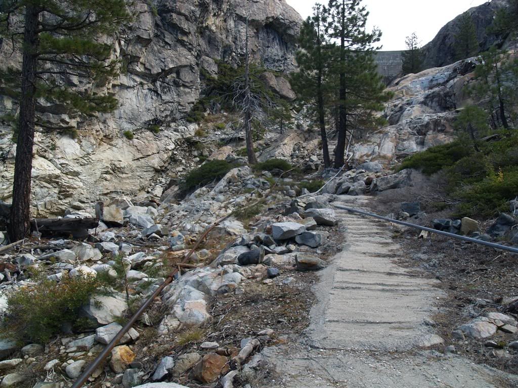
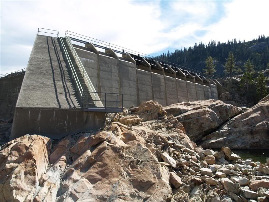
First, as I tried to get a shot that better matched the picture of the Bowman Waste Dam (couldn't - too many trees now), I could not resist a hike further up. It starts with some crude concrete steps.
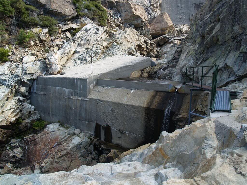
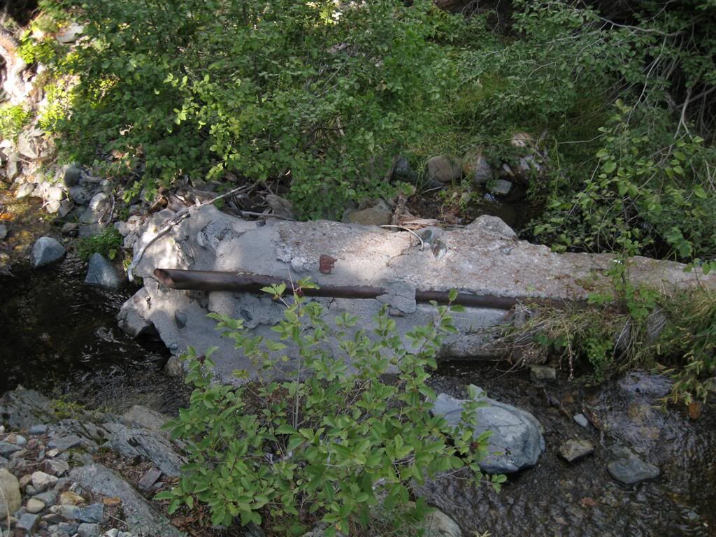
First, you come to a small gauge which in this case is carrying the seepage from the dam.
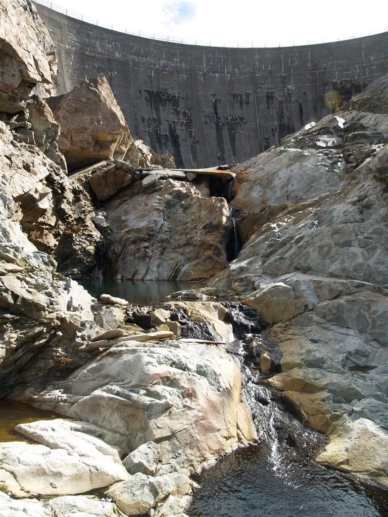
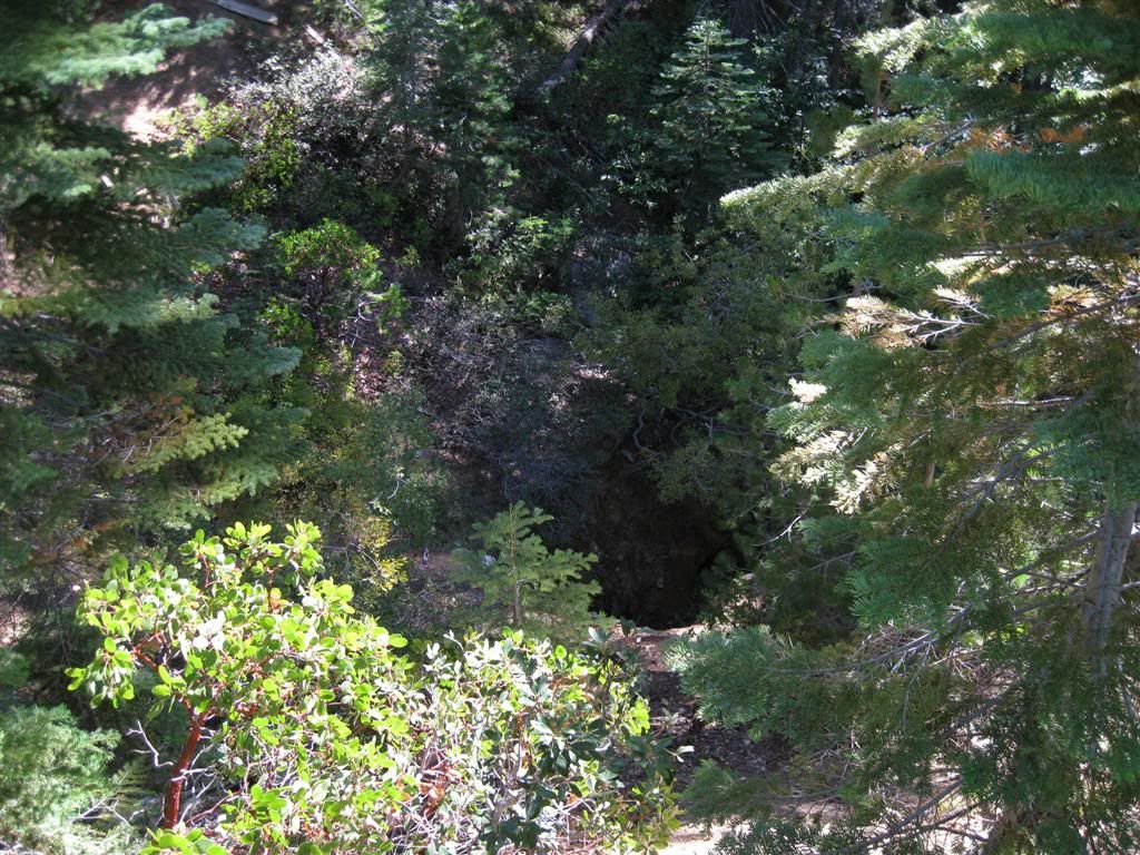
Above that is a small gorge (none of this had any real level of natural water until the reservoir was created)
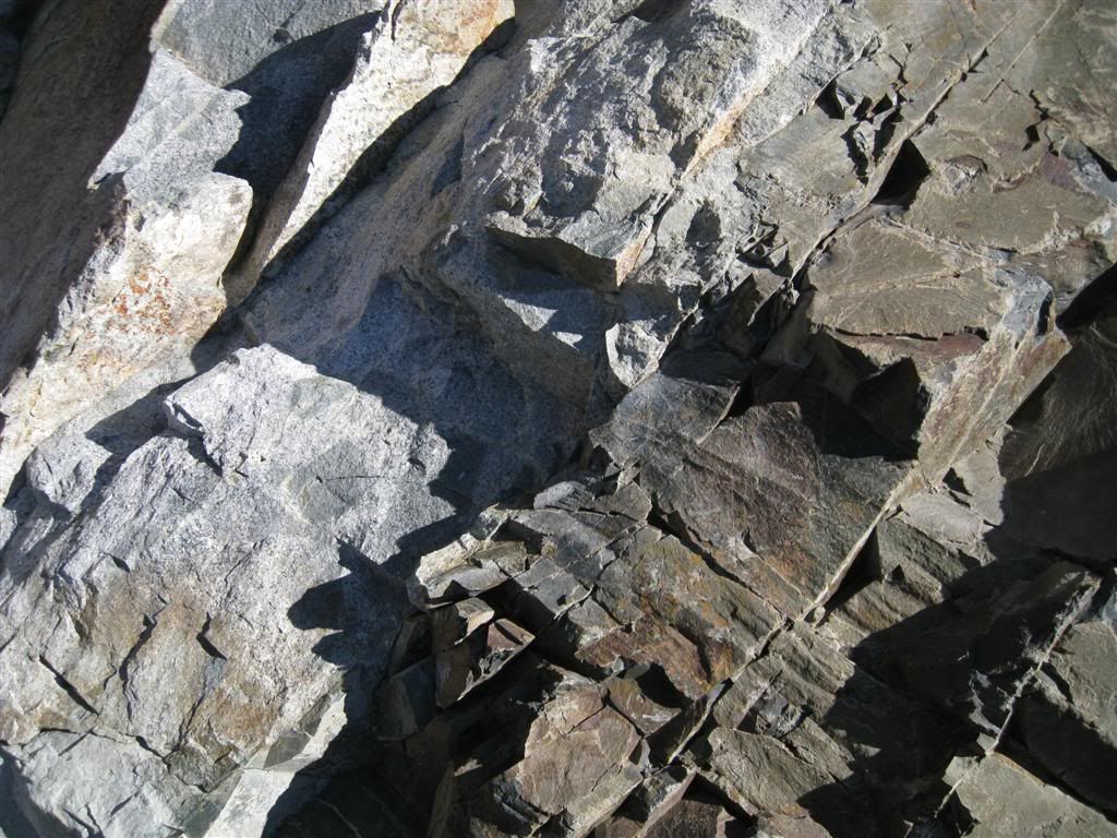
A little geology - here is a "contact" between two types of rock. Gray granite on the left contacts an older sedimentary rock on the right.
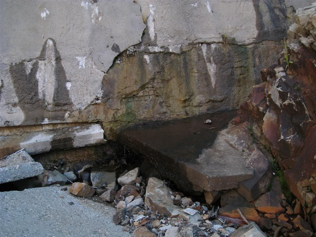
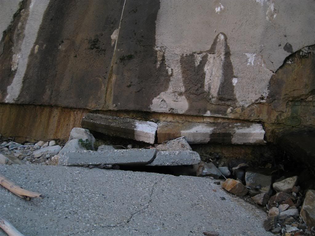
At the base of the dam, there's evidence of many changes. Note the embedded concrete pieces.
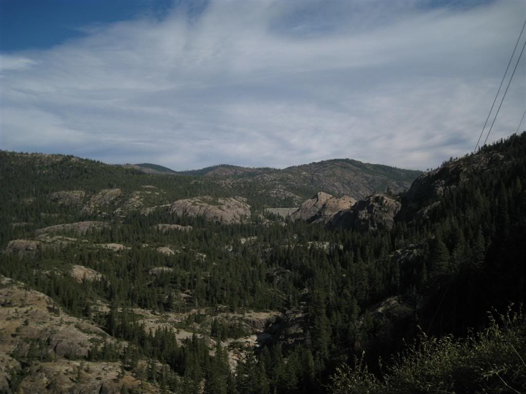
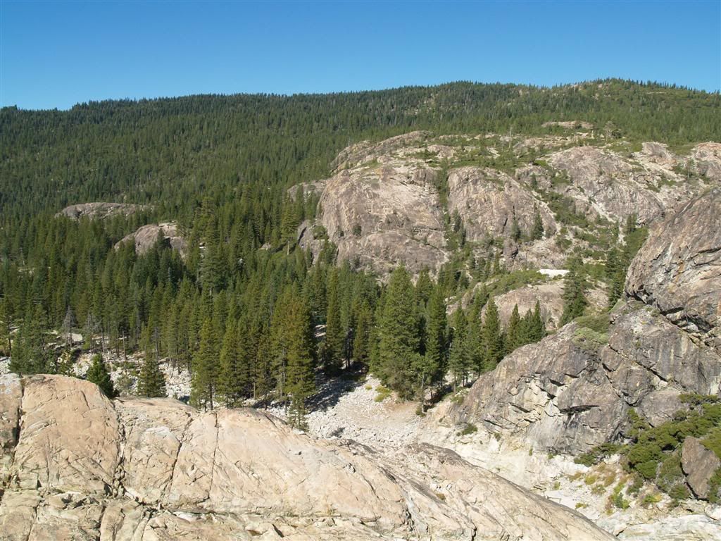
Looking back to the lower Bowman area.
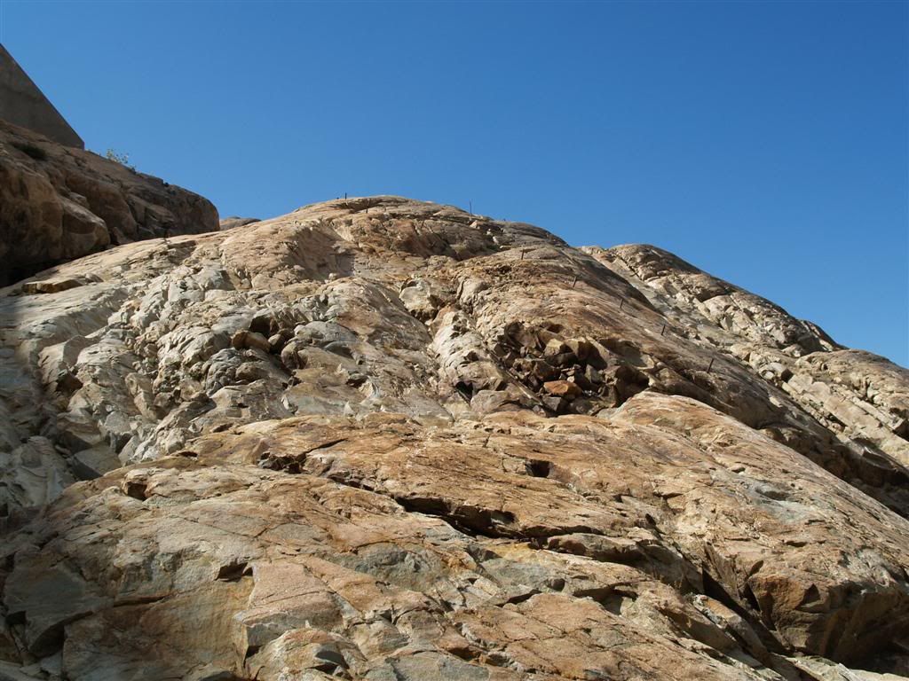
Up the last stretch. Note the iron bars sticking up.
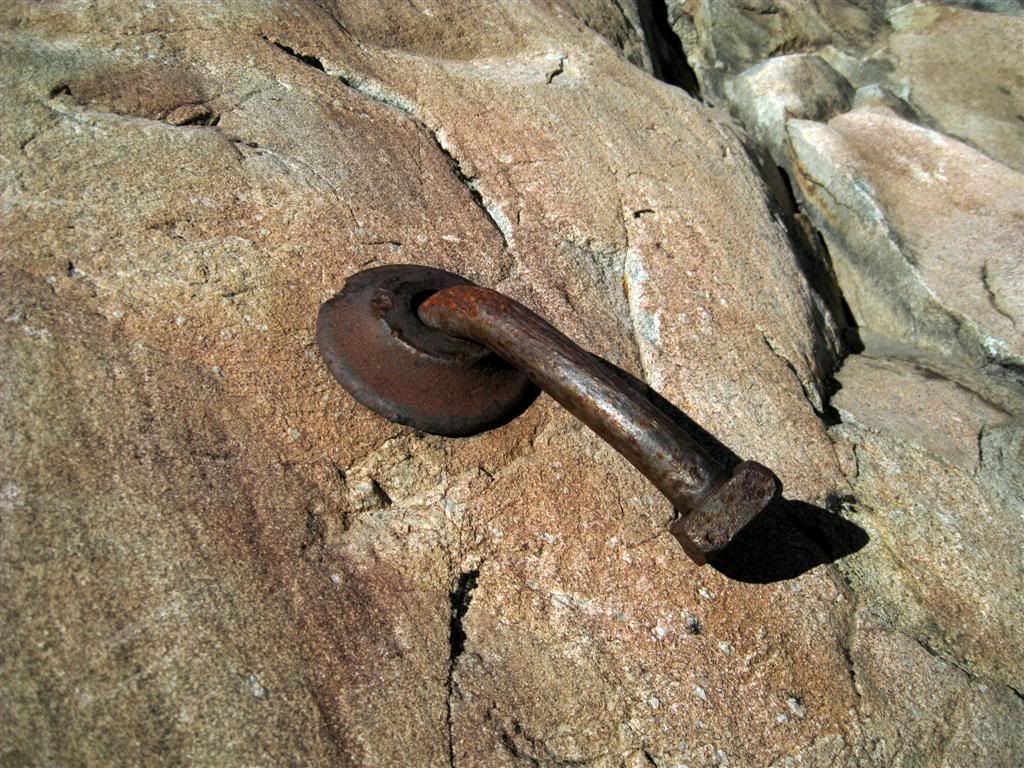
Pretty old bolts along the way. Maybe they were used during construction or somehow supported the old wooden dam.
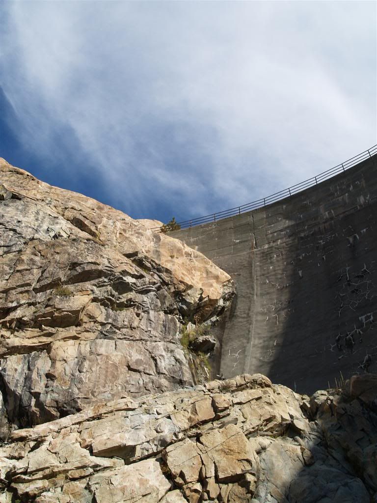
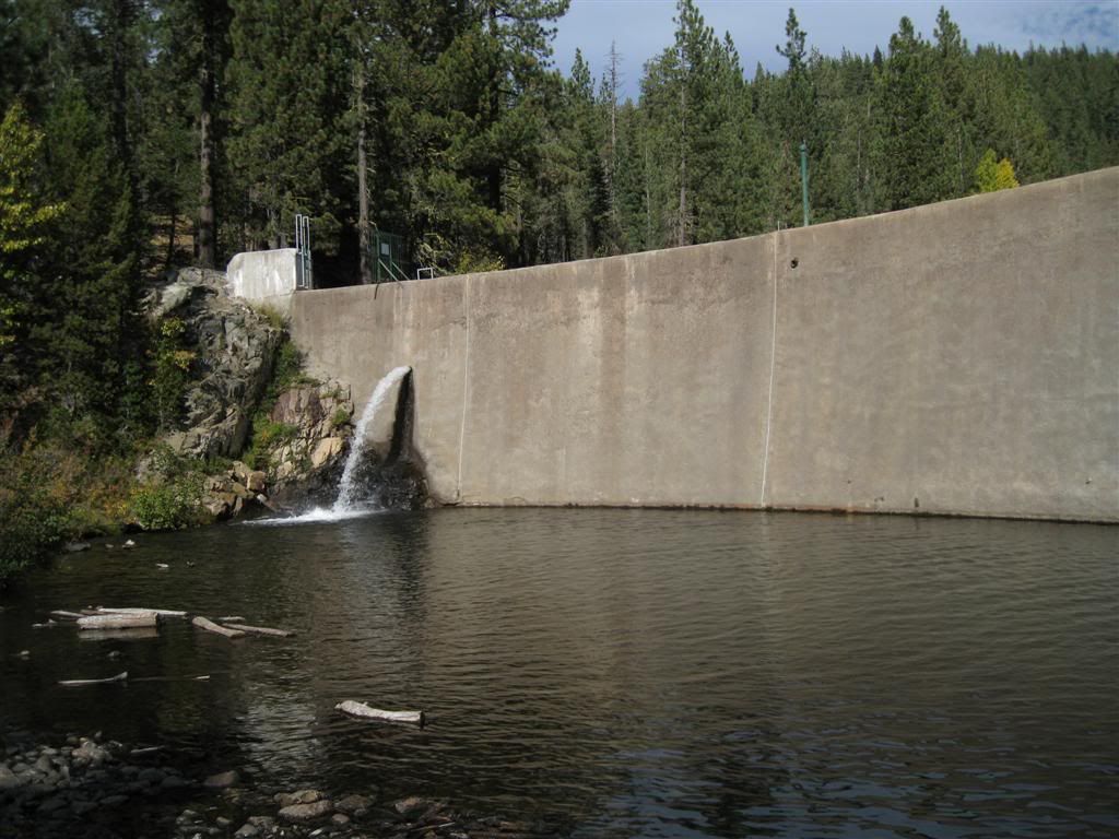
Part way up, the dam is striking.
Still more to go.
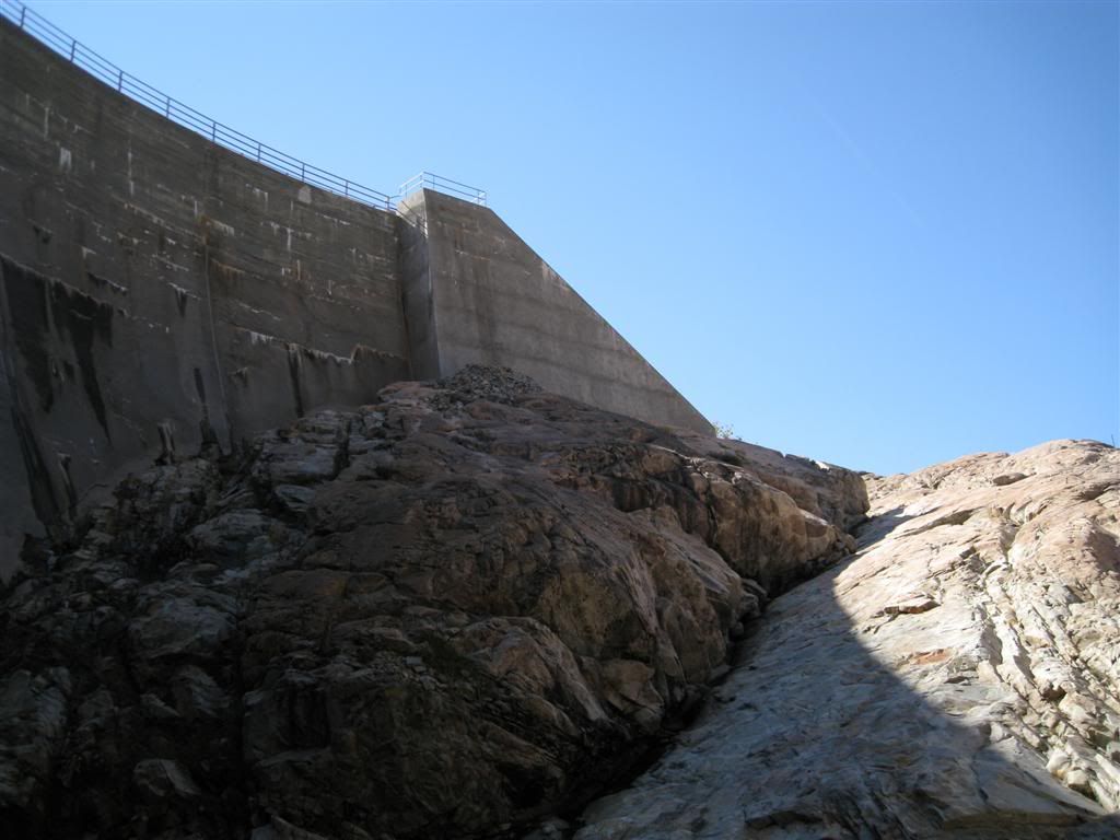
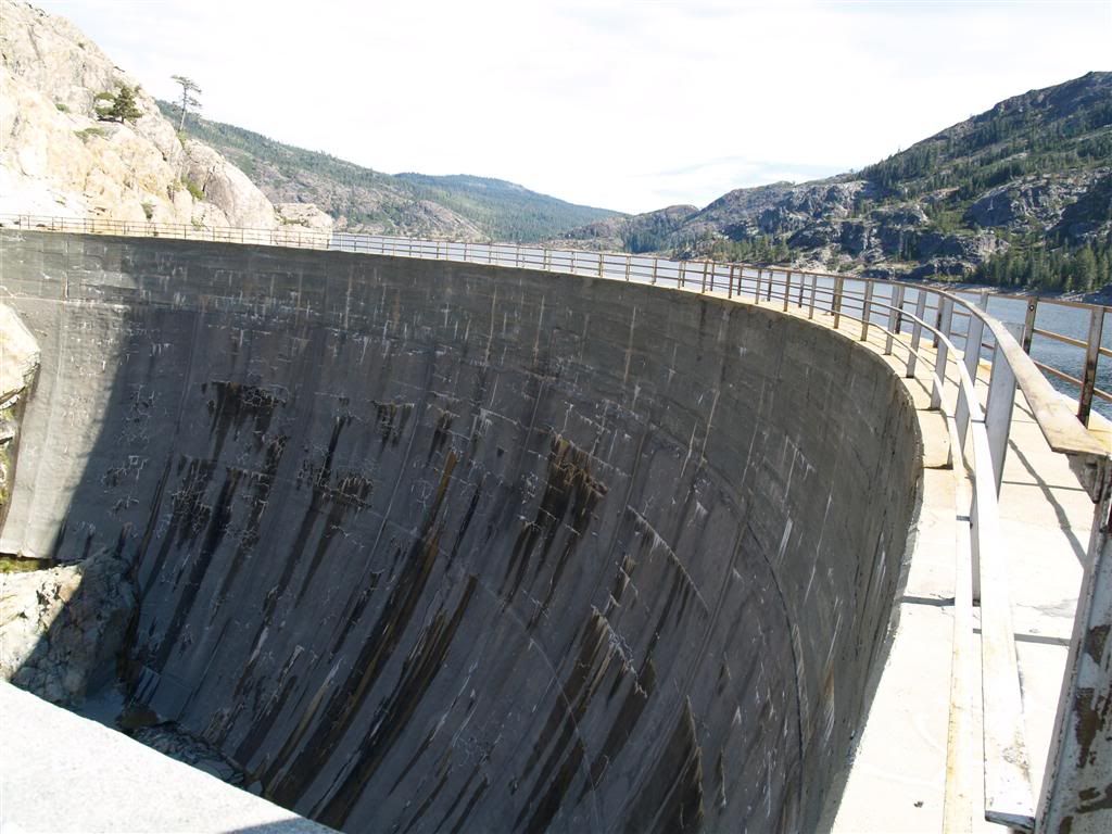
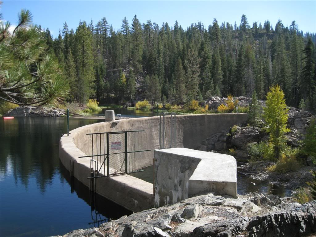
Wasn't ready for this - another stretch to the top. This is the spillway.
Finally on top!
Well, that was fun! It was a bit tiring, but I was happy to be ABLE to climb up that high. The scramble over the rocks and boulders at the bottom was the hardest part. believe it or not.
Well, on to other things. Went up to Celina ridge again (that's the area we cut through on the way back from Washington on the Miyagi) to check on some roads. They were thoroughly blocked by multiple boulders and lots of arranged tree trunks. I guess they really don't want anyone in there.
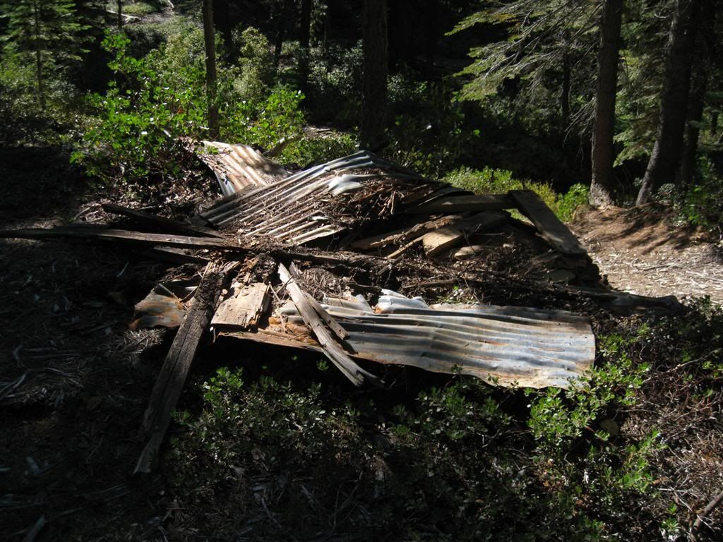
Stopped at the spot where the Azalea Mine is indicated. Not much is left.
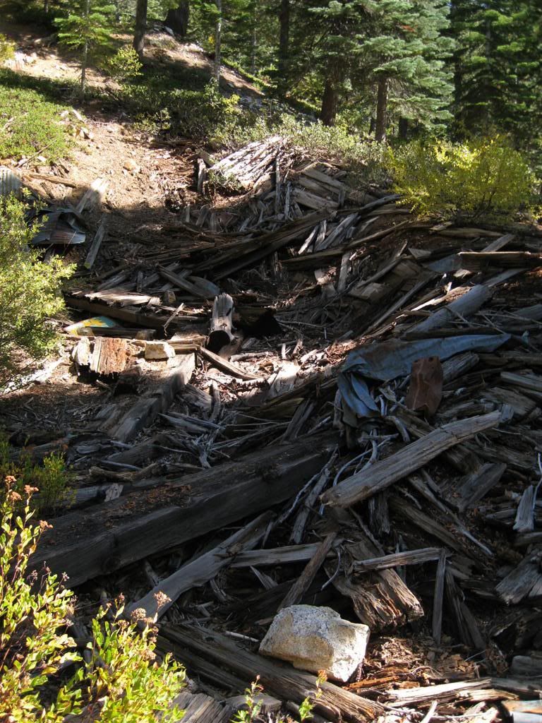
I think this is an old shaft - it's in the right place on account of the old structures and rock/dirt piles. I could not get close enough to see.
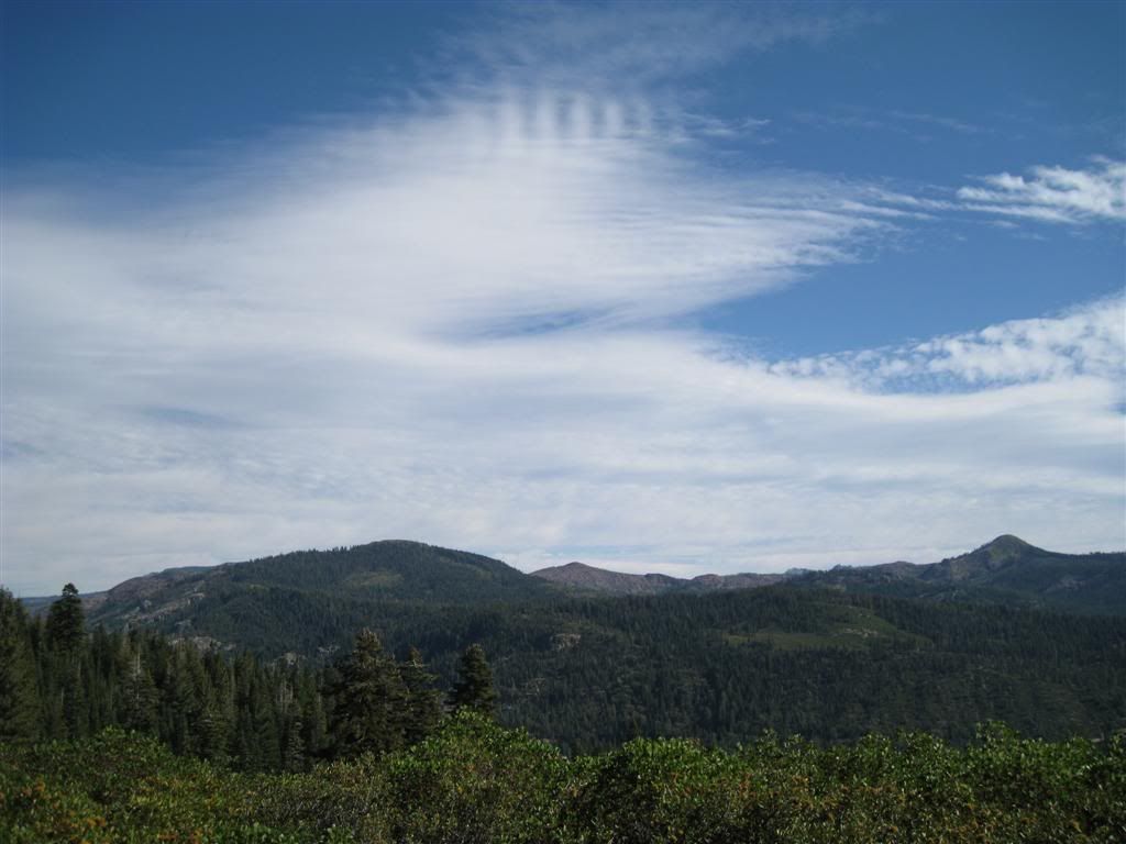
Nice view from the eastern side of Celina.
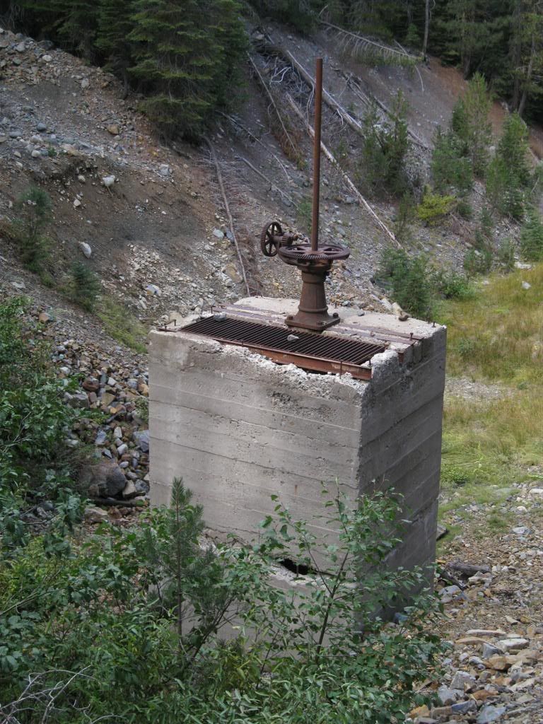
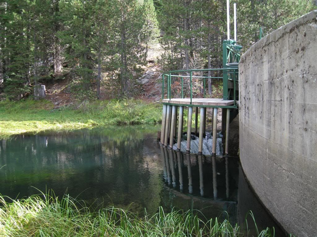
Onto the 41 road and over to Milton. For some reason, the GPS waypoints I thought were loaded were not. Remembering the power lines run virtually over the route of the tunnel, I made my way down the roads and found it. Not what I thought, but it was a start. This is a valve of some kind. The concrete is pretty rotten!
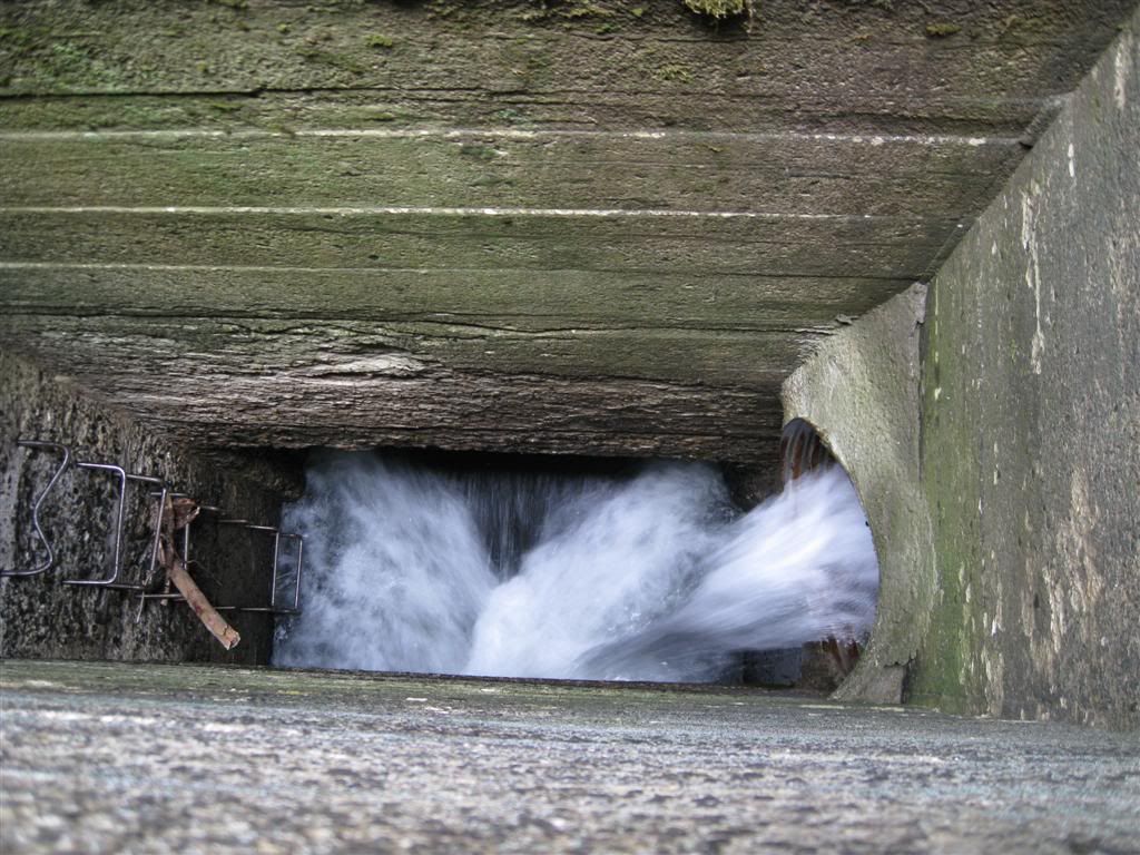
At the bottom is the water in the tunnel, plus some that is added (on the right) from a creek that's diverted into it.
Old diversion for the creek.
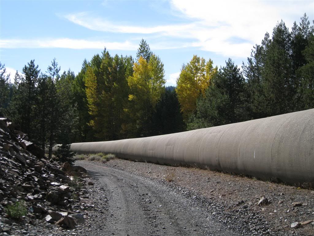
The pipe of the tunnel follows an old canal route.
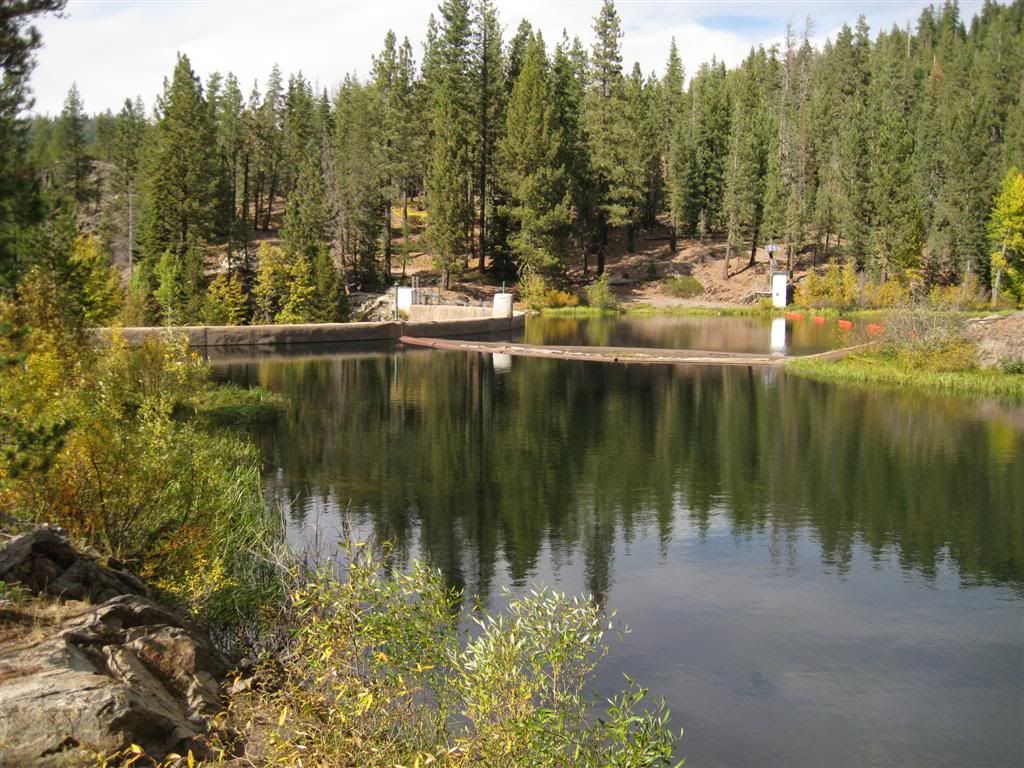
The intake is at the end of Milton Reservoir.
Milton Reservoir
The main Milton dam.
Below the dam.
Two different crossings are nearby.
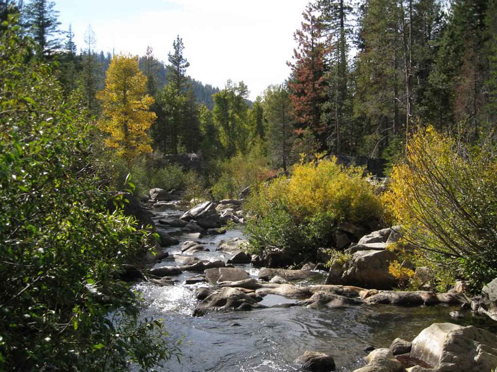
Middle Yuba below the dam.
Henness Pass road connects from here, but that's for another day...
First, as I tried to get a shot that better matched the picture of the Bowman Waste Dam (couldn't - too many trees now), I could not resist a hike further up. It starts with some crude concrete steps.
First, you come to a small gauge which in this case is carrying the seepage from the dam.
Above that is a small gorge (none of this had any real level of natural water until the reservoir was created)
A little geology - here is a "contact" between two types of rock. Gray granite on the left contacts an older sedimentary rock on the right.
At the base of the dam, there's evidence of many changes. Note the embedded concrete pieces.
Looking back to the lower Bowman area.
Up the last stretch. Note the iron bars sticking up.
Pretty old bolts along the way. Maybe they were used during construction or somehow supported the old wooden dam.
Part way up, the dam is striking.
Still more to go.
Wasn't ready for this - another stretch to the top. This is the spillway.
Finally on top!
Well, that was fun! It was a bit tiring, but I was happy to be ABLE to climb up that high. The scramble over the rocks and boulders at the bottom was the hardest part. believe it or not.
Well, on to other things. Went up to Celina ridge again (that's the area we cut through on the way back from Washington on the Miyagi) to check on some roads. They were thoroughly blocked by multiple boulders and lots of arranged tree trunks. I guess they really don't want anyone in there.
Stopped at the spot where the Azalea Mine is indicated. Not much is left.
I think this is an old shaft - it's in the right place on account of the old structures and rock/dirt piles. I could not get close enough to see.
Nice view from the eastern side of Celina.
Onto the 41 road and over to Milton. For some reason, the GPS waypoints I thought were loaded were not. Remembering the power lines run virtually over the route of the tunnel, I made my way down the roads and found it. Not what I thought, but it was a start. This is a valve of some kind. The concrete is pretty rotten!
At the bottom is the water in the tunnel, plus some that is added (on the right) from a creek that's diverted into it.
Old diversion for the creek.
The pipe of the tunnel follows an old canal route.
The intake is at the end of Milton Reservoir.
Milton Reservoir
The main Milton dam.
Below the dam.
Two different crossings are nearby.
Middle Yuba below the dam.
Henness Pass road connects from here, but that's for another day...