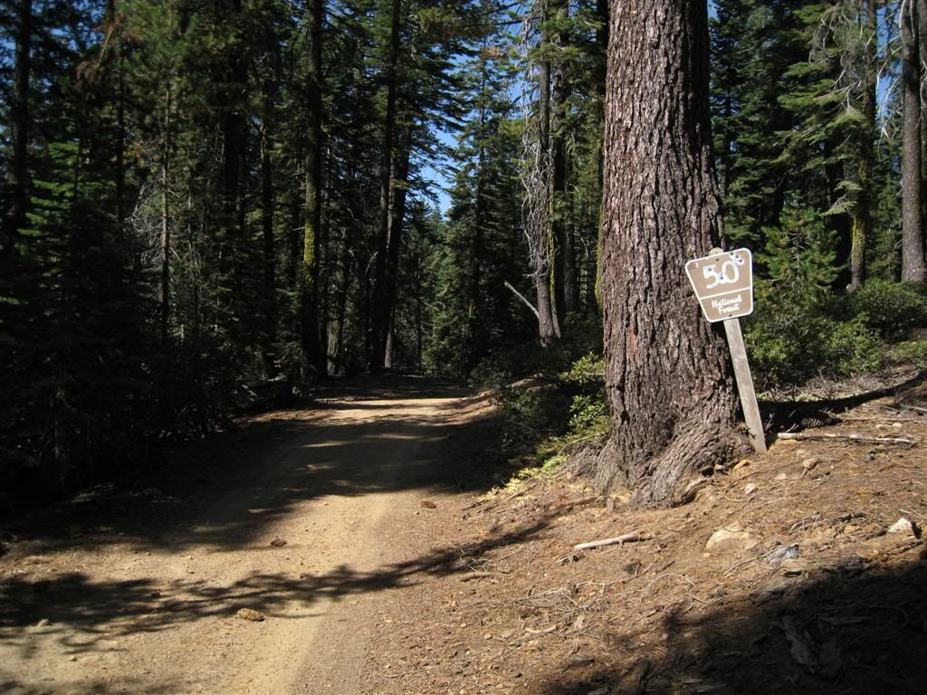
The lower part of the 50 road is a smooth ride through some relatively flat area.
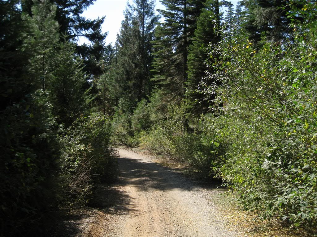
Just before you meet the 21 road (Gaston Grade, to Washington) you can turn left onto a road which obviously is an old ditch grade. It runs for a couple of miles nearly level. The road suddenly climbs slightly and you can see the old ditch where the road goes away from it.
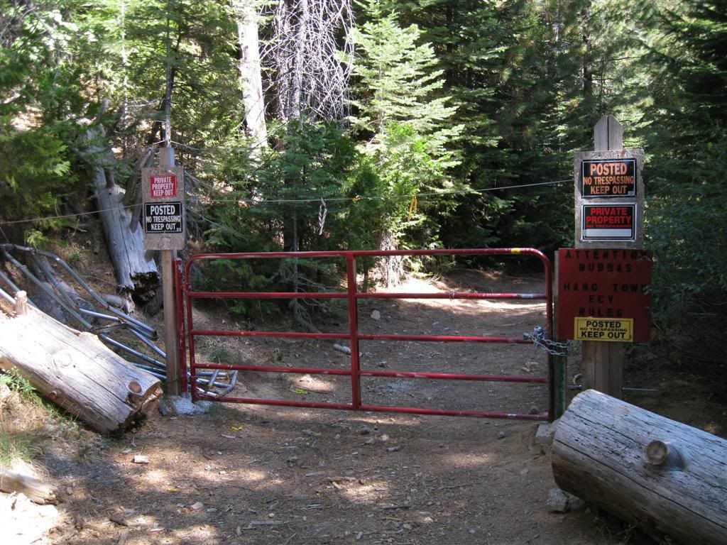
Unfortunately, the road ends shortly thereafter at this elaborate gate. The wire at the top is interesting - not sure what it's for. It also would seem to keep the owner out unless they were on a quad or bike. Anyway, 5 different styles of keep out signs! No loop here anyway,
Back around to the Canyon Creek side.
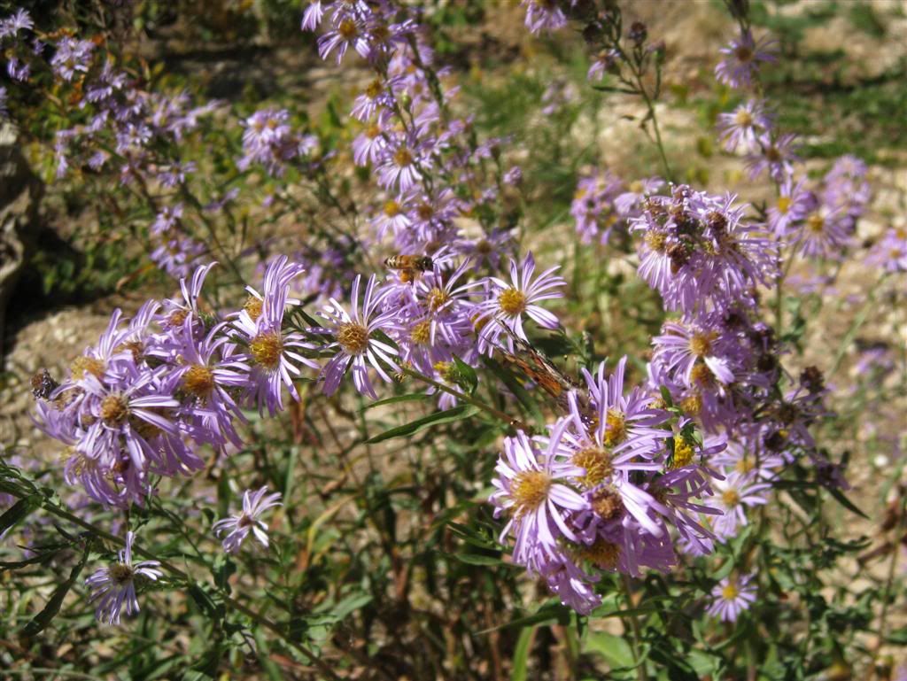
Interesting sight for October! There were tons of bees and butterflies - this most be the only blooming things for miles.
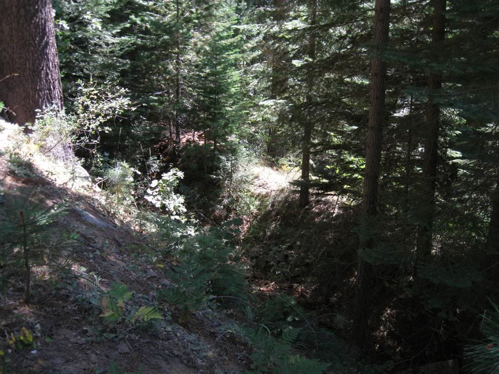
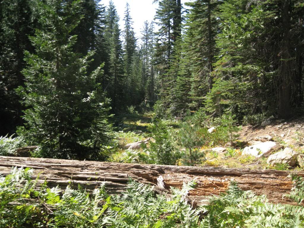
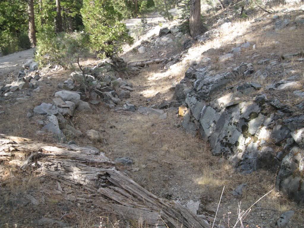
At the same spot, obviously an old blocked road, nicely overgrown.
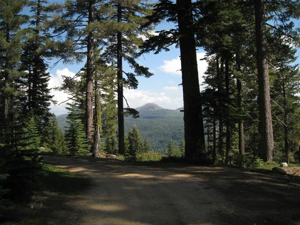
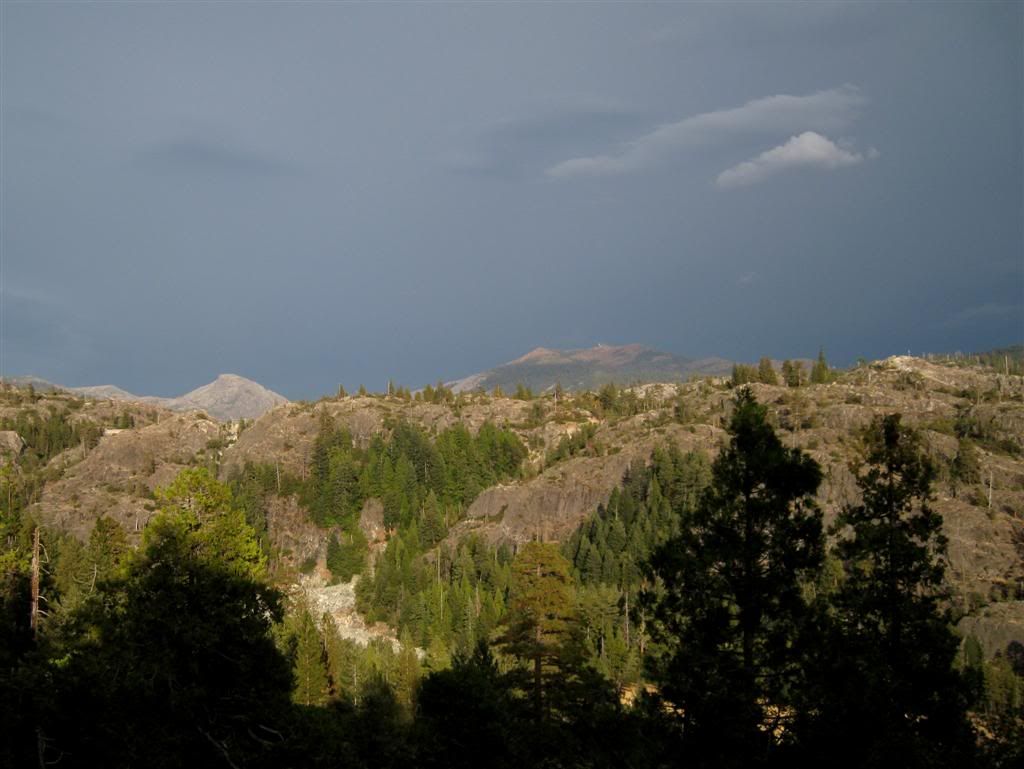
Continuing around Celina back towards Bowman the area opens out (probably old fire cleared area) and shows the afternoon weather developing.
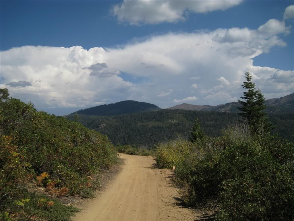
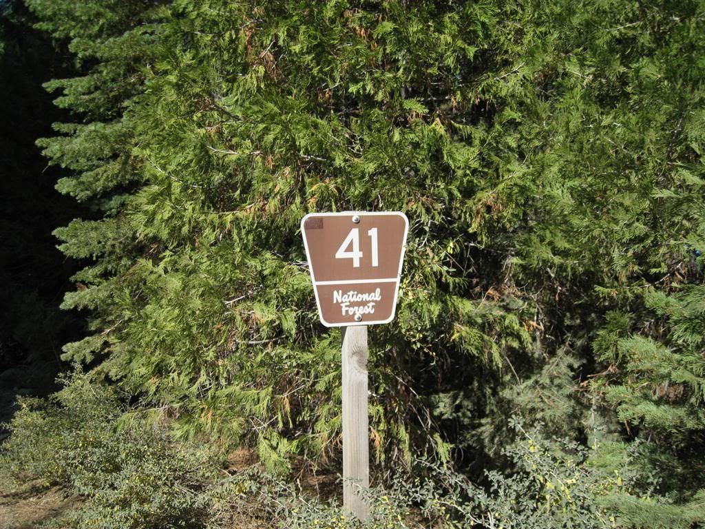
After the 50 road meets Graniteville Road, a short speed run brings you to the 41 road. The 41 will take you around behind the mountains above Bowman Lake and eventually will meet the 76 road and bring you back to Bowman Lake road just a few miles from Jackson Meadows Reservoir.
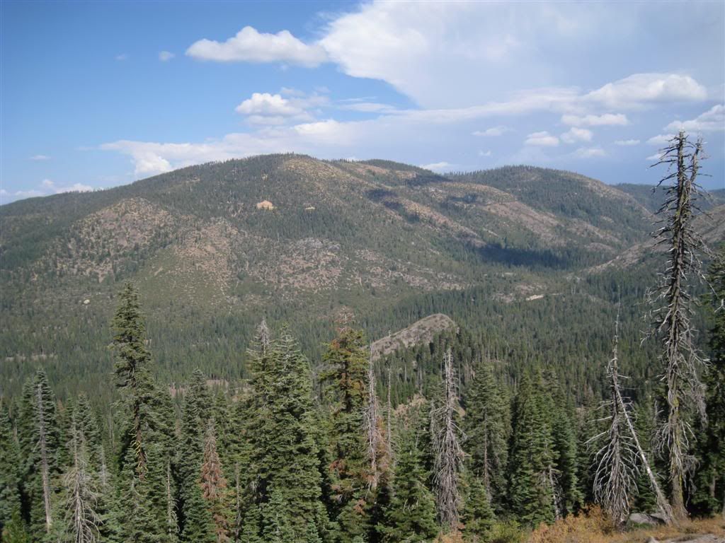
Pinoli Peak commands the area, the 41 road descends from here to East Fork Creek (runs lower left to upper right) and then climbs the shoulder and wraps around it to the east. The climb to the top of the west shoulder is a hoot - the last 2 miles is a full-throttle smooth road climb that's a blast. At the top is a side road to the right which leads to the huge log landing visible on the mountain (talk about environmental impact - how could that be allowed?)
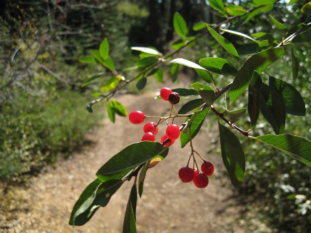
On a side spur, this brush with berries was hanging over the path. Not sure if bears like these, they were everywhere and appeared untouched.
A promising road turnes to skid trail at the end.
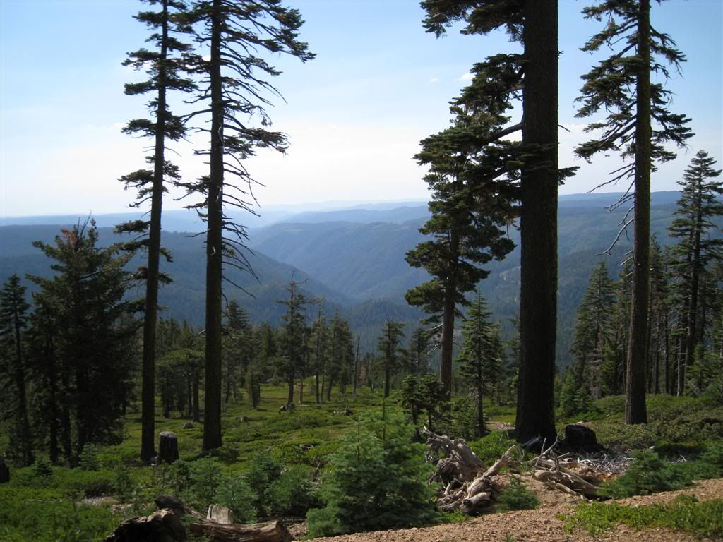
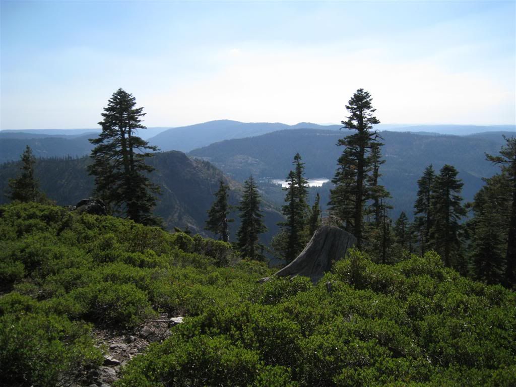
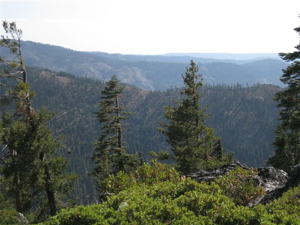
But the view is nice - this is looking down the Middle Yuba River canyon to the southwest.
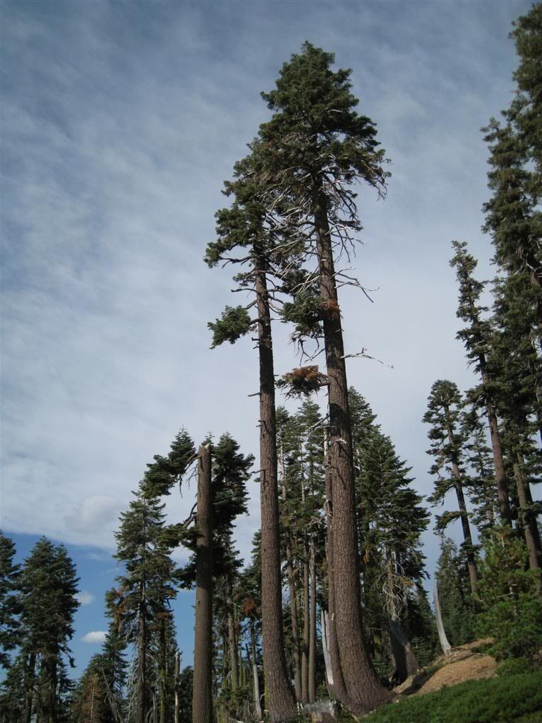
For such a high ridge, the trees are surprisingly upright here.
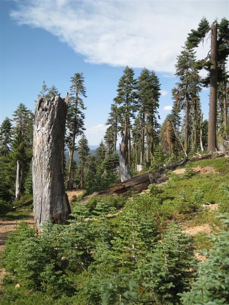
If it had been earlier in the day, it would have been have nice to have lunch here - high on the mountain, but a nice level spot.
A look back shows Quartz Hill, Weaver Lake and in the far distance, Celina Ridge.
Another look at Quartz Hill (which is more like a ridge), I managed to make it part way up there several weeks ago. On the other side is Bowman Lake.
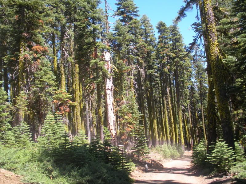
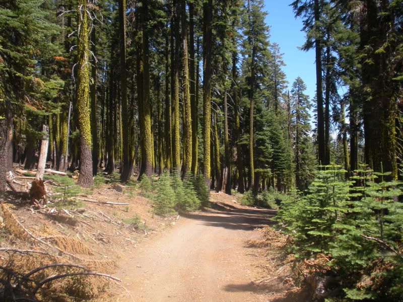
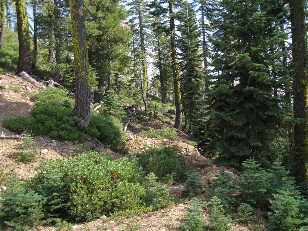
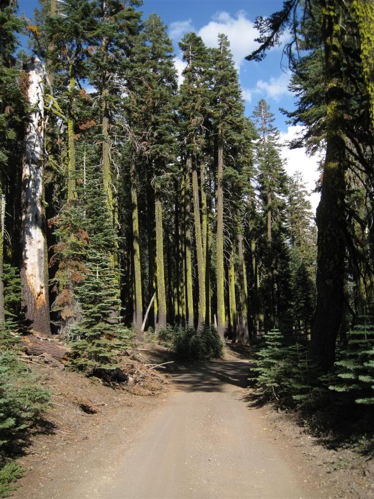
Back to the main road, I love this view of the road coming into a forest of moss-covered trees.
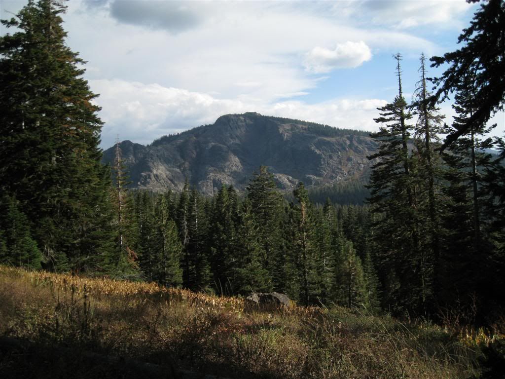
Back down on the 76 road, there's a nice view of English Mountain looking at the rough end above Jackson Lake.
Rolling down Bowman Lake Road towards Jackson Creek Campground, you cross an old ditch. I'm not sure which one this is.
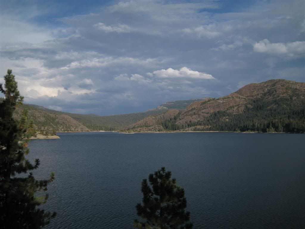
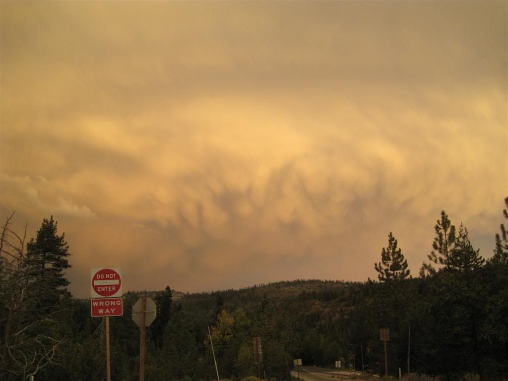
After the teeth-rattling ride along Bowman Lake, at least there was an interesting look with the weather. All the action was over near Truckee and Reno.
On the drive out, the lighting was dramatic along the road near Spaulding. Signal Peak/Red Mountain is barely lit up and Old Man Mountain really stands out at the left.
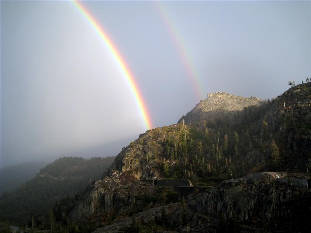
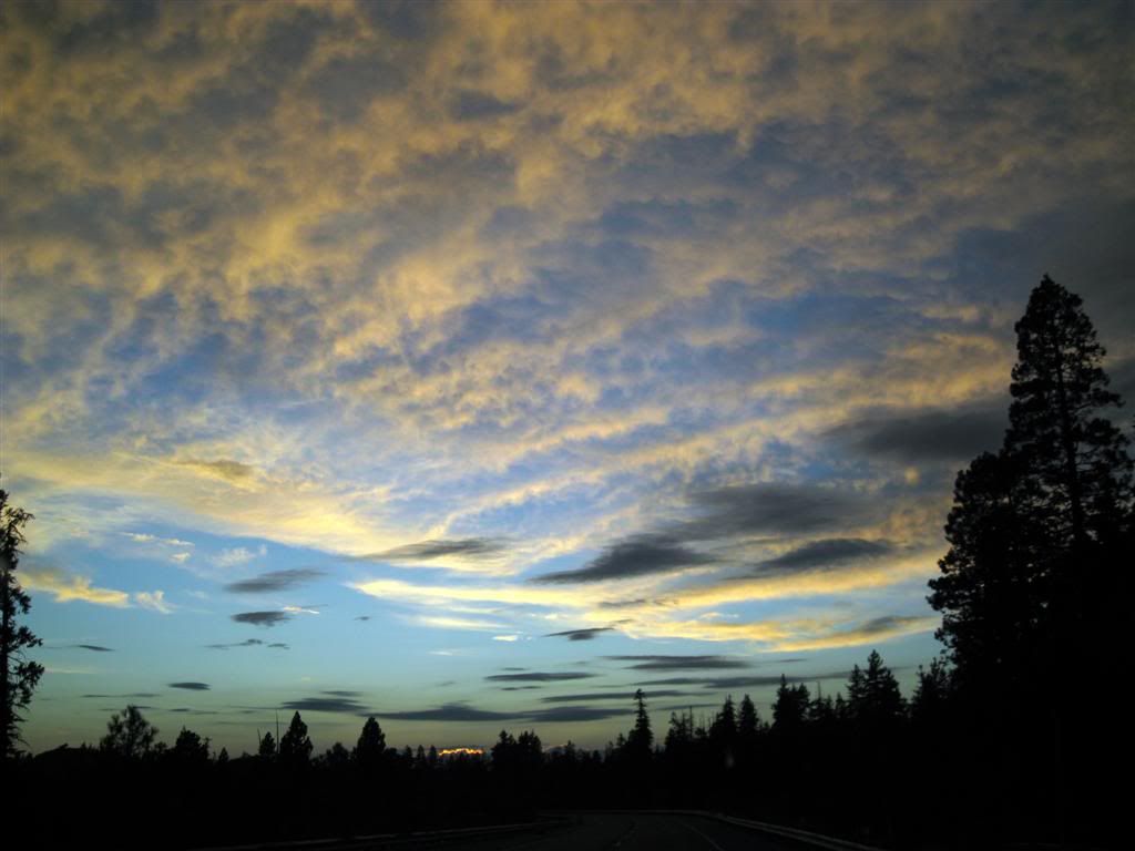
The weather was so cool as I went east on SR-20 that I got on I-80 east and ended up on Donner Pass. Drove to Truckee, and came up the old road to the pass where the clear skies to the west lit up the effects of the rain to the east. This rainbow was awesome, it was lit like this for a full 180 degrees - and double to boot.
It just kept up - here's a view at Cisco, looking east.
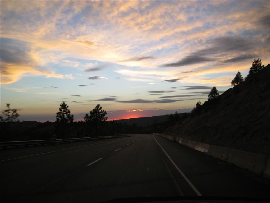
I have never gotten a neat shot like this through the windshield. Unfortunately, there were no spots to pull off and get a good view but this shot near SR-20 was not bad at all.
The final shot of the day is above Emigrant Gap - I could have cropped it, to get rid of the road but I like it as-is.
All in all a fabulous day.