
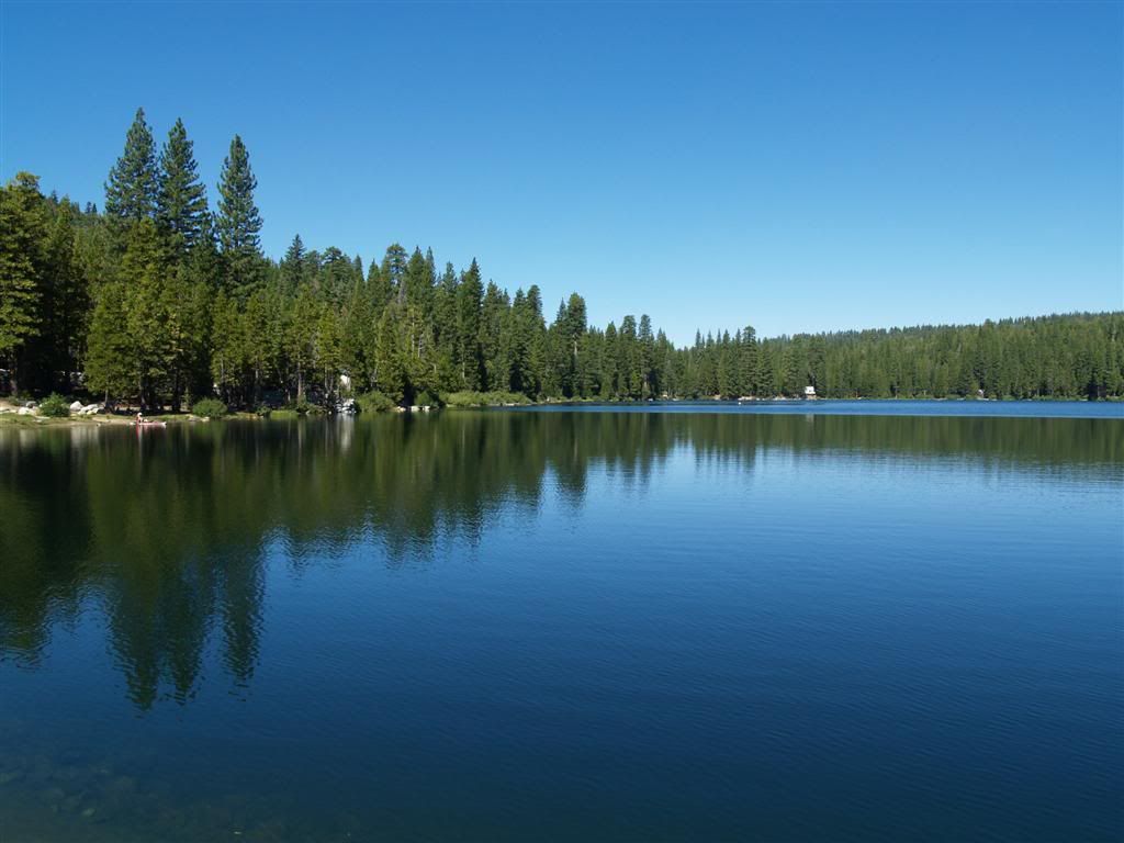
Here's Fuller Lake on the way up - nice little lake.
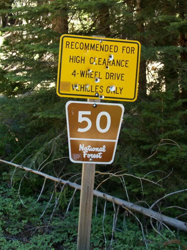
The 50 road circles Celina Ridge and connects with the road to Graniteville and the road to Washington. LOTS of side trails and roads. There's a great two-track that connects Graniteville Road and FR-50
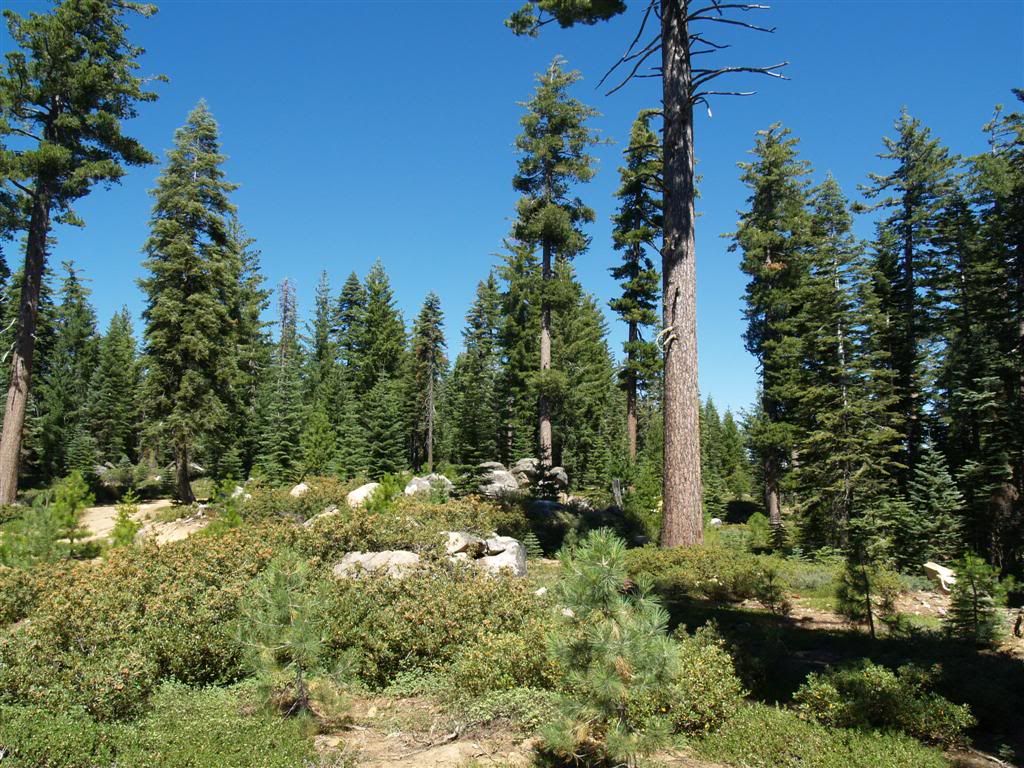
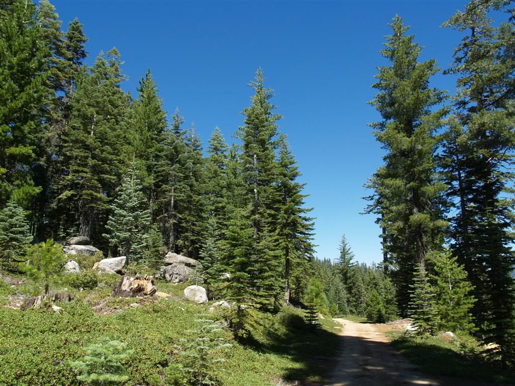
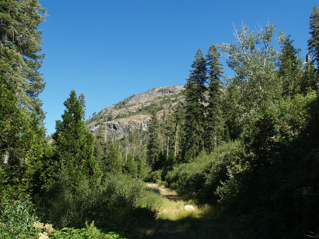
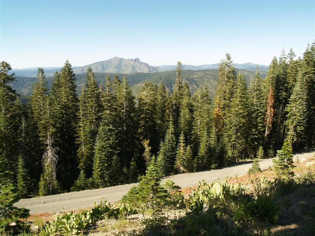
Much of the riding out here is through sections of closed forest and then this nice open type of area.
This spot says "Fall" to me - temps were in the high 70's, just fantastic.
Another nice spot on the road. Hardly any traffic up there - no tracks since it rained last in most places.
Came upon a "wye" in the road - this track, depicted as "4WD" on the topo was a lot of fun. Steep twisty with a few off-camber challenges (for me, anyway!). It eventually led to a gate - so I had to turn around and come up it! More fun!
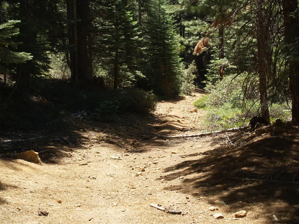
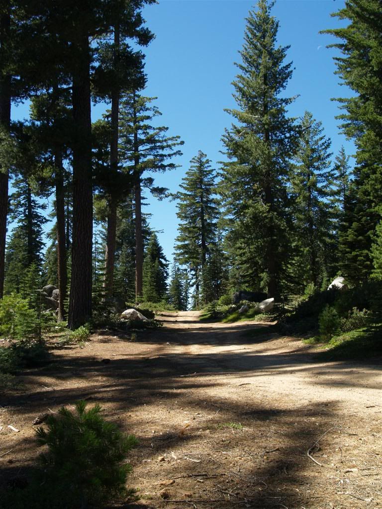
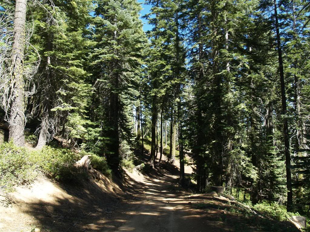
Coming out of that area and heading for the 41 road, lots of nice shaded areas.
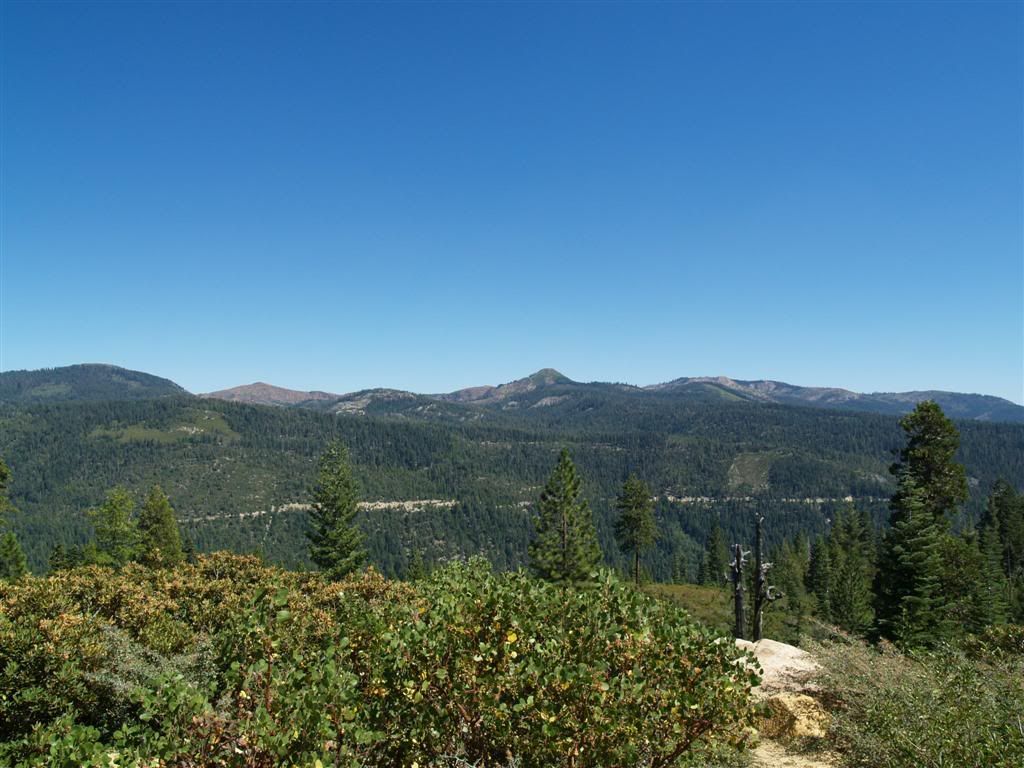
On the east slope of Celina Ridge you get a nice view of Bowman Lake and it's two dams.
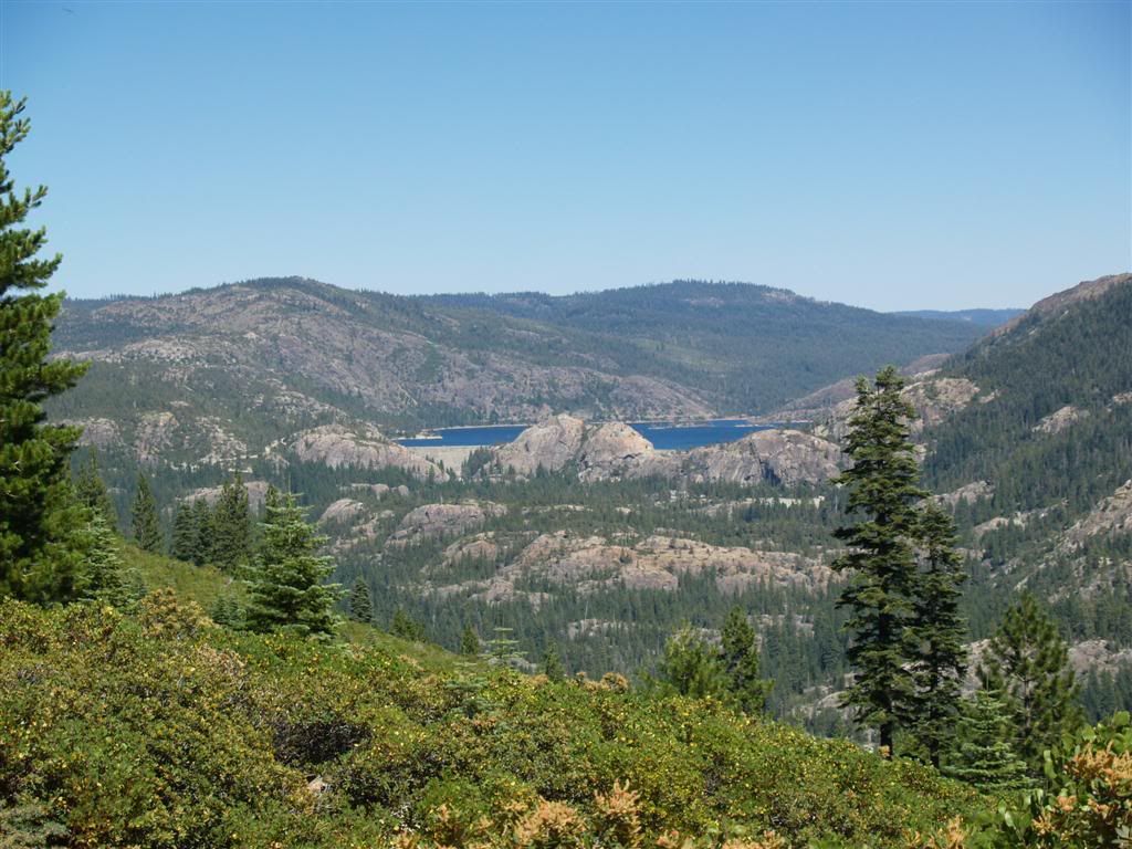
Grouse Ridge is visible here, as well as the ditch line (the canal leading from Bowman Lake to Rucker and Fuller Lakes, as well as eventually Spaulding.
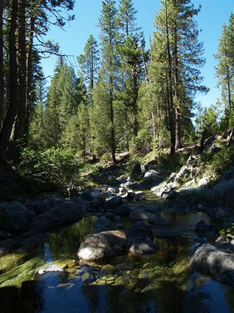
From there, riding the 41 road, you eventually come to East Fork Creek below Pinoli Peak.
Immediately after crossing the creek is a side road, the 41-6, that leads up the East Fork Creek canyon and climbs the side of Quartz Hill. This is the mountain that is on the north side of Bowman Lake (and makes up those cliffs you go by on the road near the inlet end of the lake.)
Looking from the side of Quartz Hill towards Pinoli Peak.
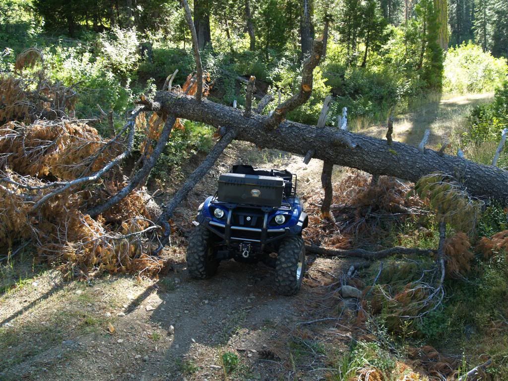
Only major tree of the day - and luckily it had fallen on a deep water bar, so you can fit under it!
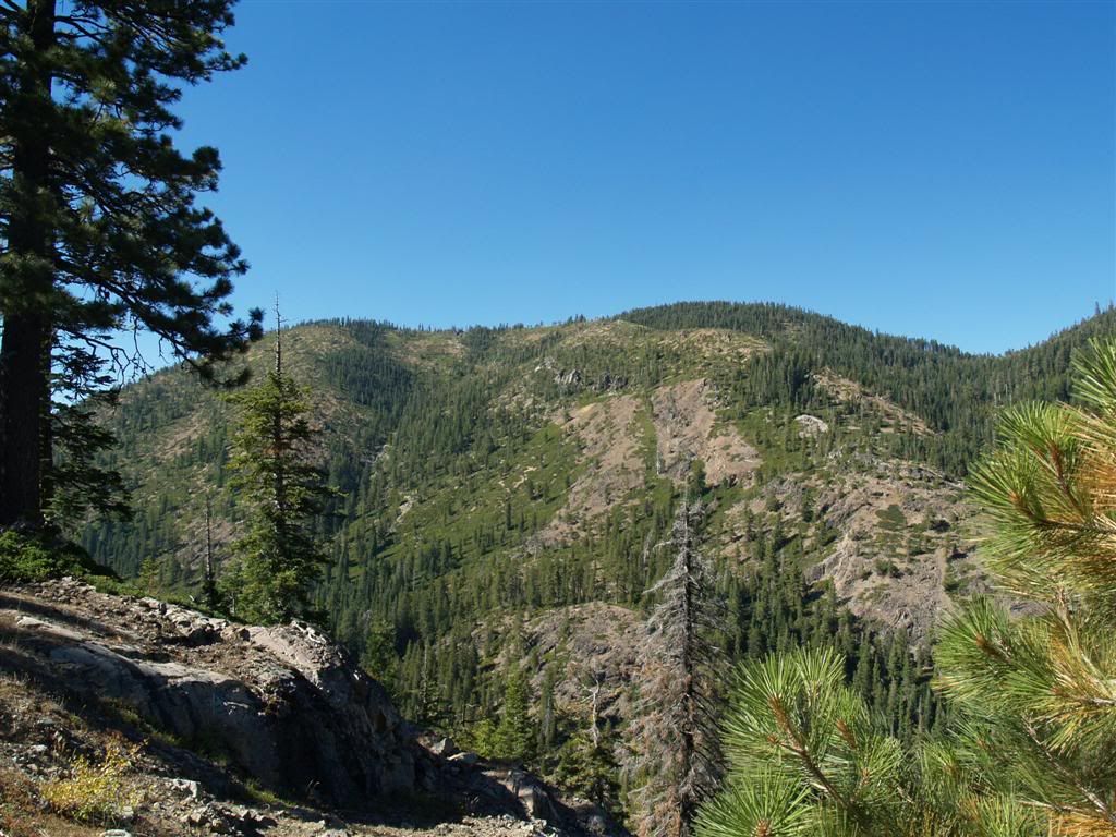
A nice view, with English Mountain at the center, from Pinoli Ridge.
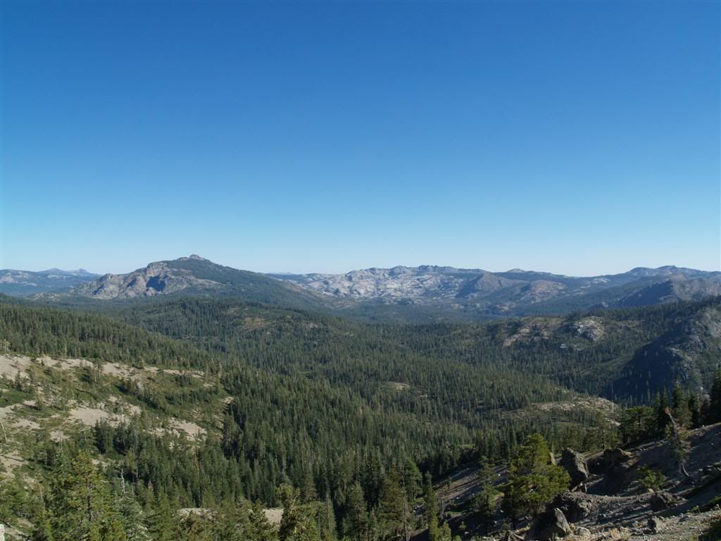
The Sierra Buttes are pretty prominent - and close - to here.
From that point, you ride down the ridge a ways, and part ways from the 41 road at the turnoff to Austin Meadows and it becomes the 76 road for 2.5 miles until hitting Meadow Lake Road. Then it's a long and bumpy transit along Bowman Lake, back to the pavement some 4 miles from the dam.
For anyone going on the Miyagi weekend, this would be a great area to explore. The area around the 50 road has TONS of stuff, I barely scratched the surface of all the roads running in through there.

