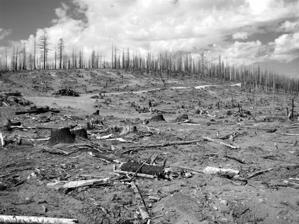
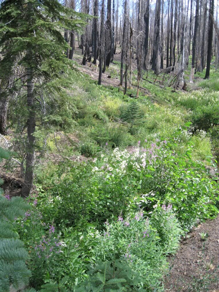
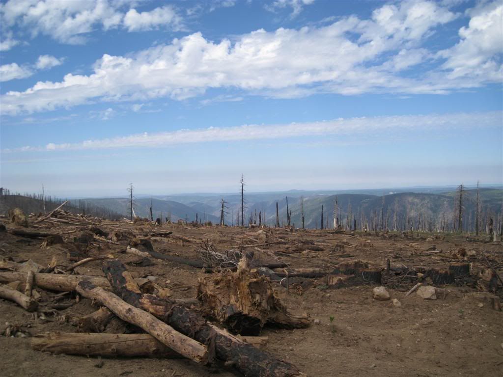
Into the burned area of the Westville Fire of June 2008.
They logged everything else, so why not this one?
Looking up the North Fork American River towards Wabena Point
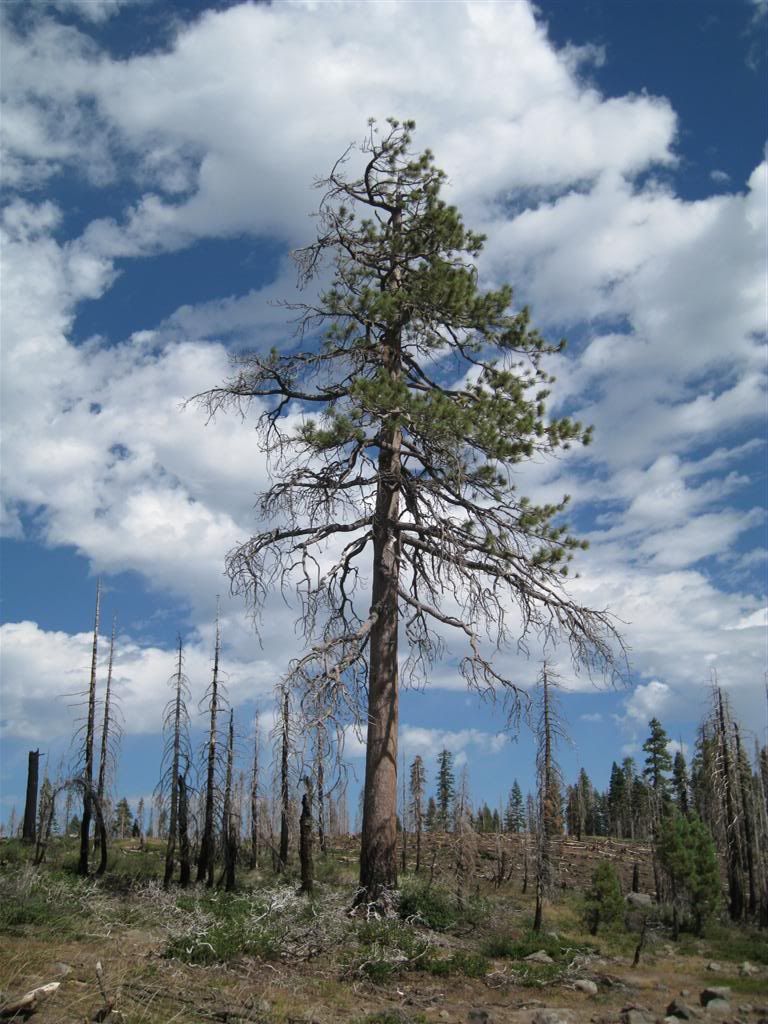
Some do survive.
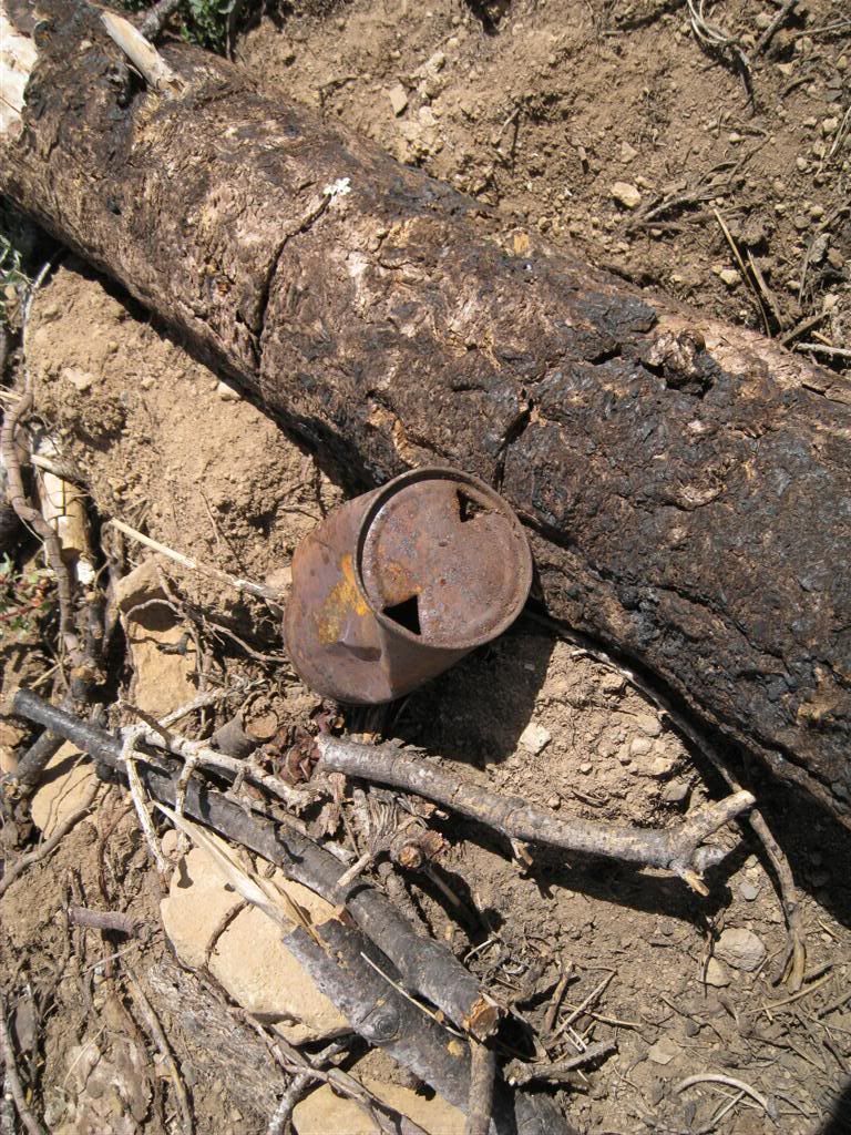
And relics surface. Some logger/hunter/whatnot tossed a beer can long ago.
Looking up Granite Canyon on the other side of the river
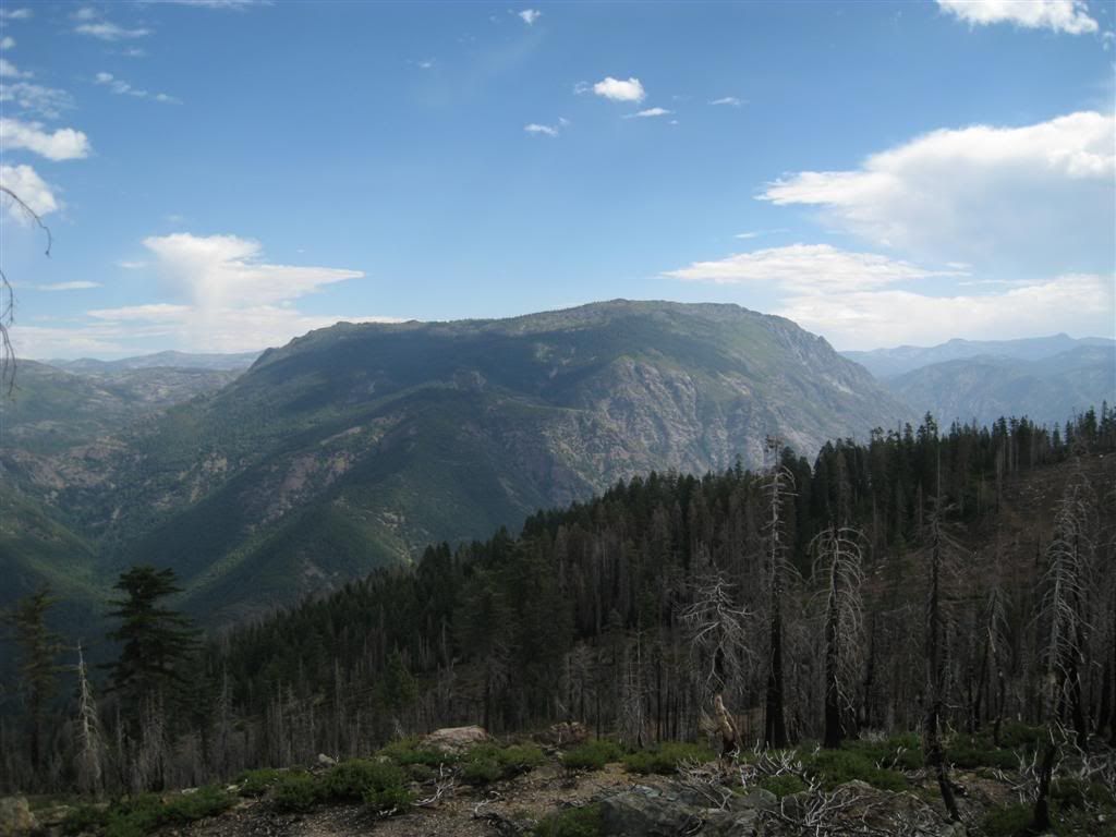
The massive Snow Mountain never fails to impress, 8,000 feet in elevation.
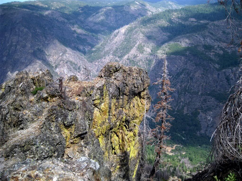
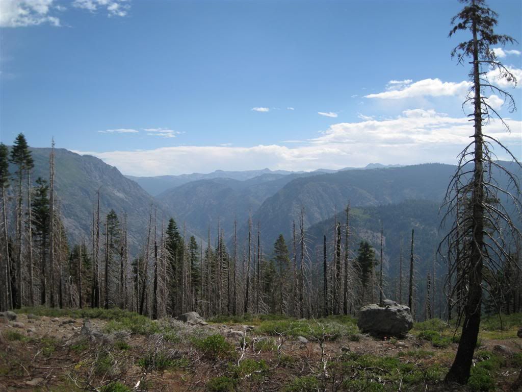
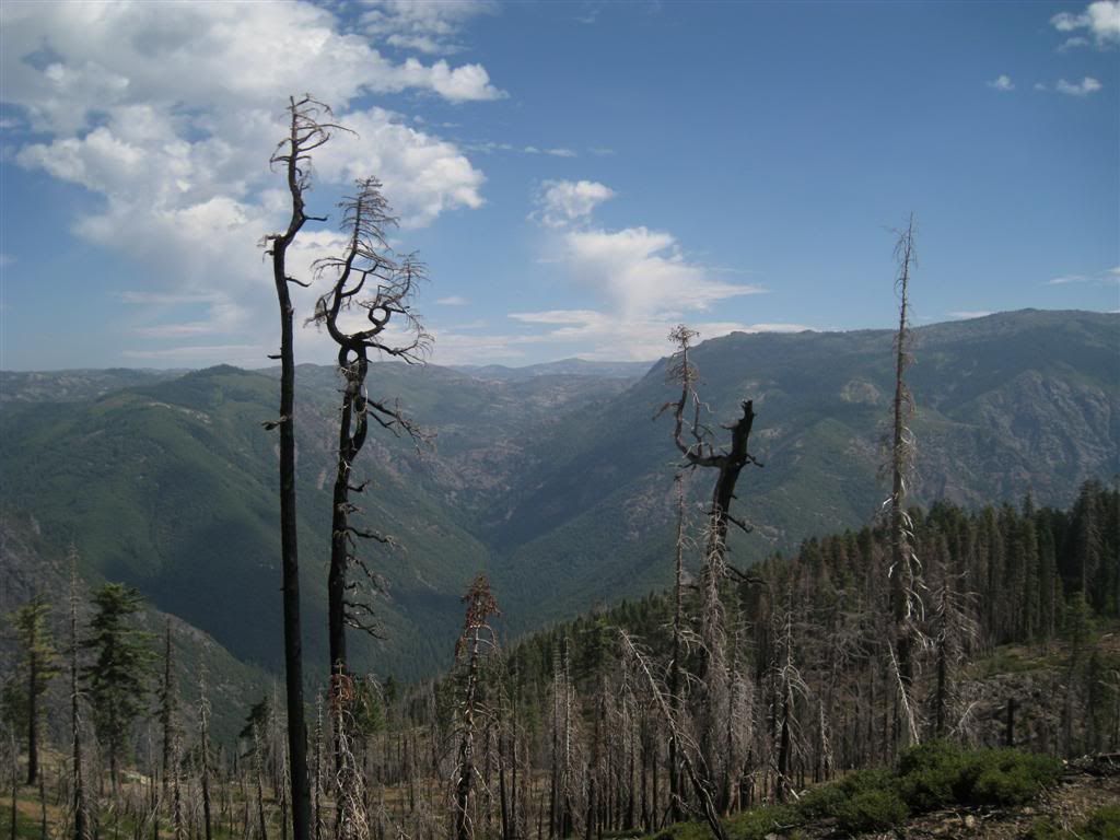
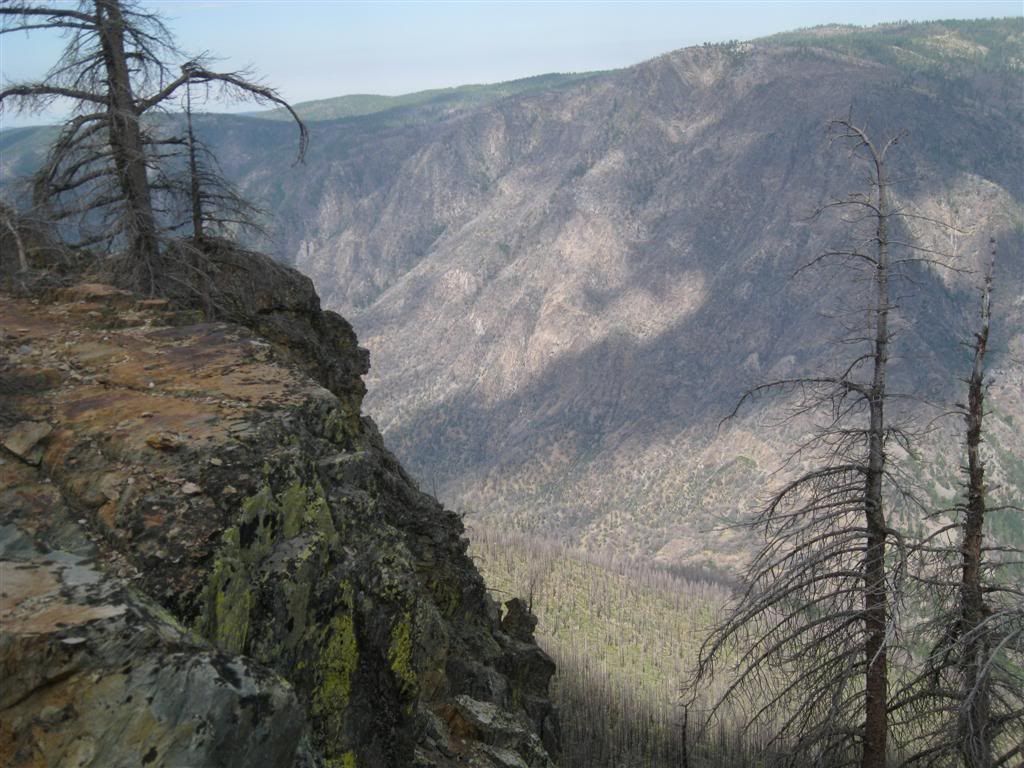
Going out a small spur road ended up leading to the scenic view of the day. This little canyon, looking more like a ditch, is a future cliff - the softer rock erodes more easily.
3,000 feet below is the North Fork American River.
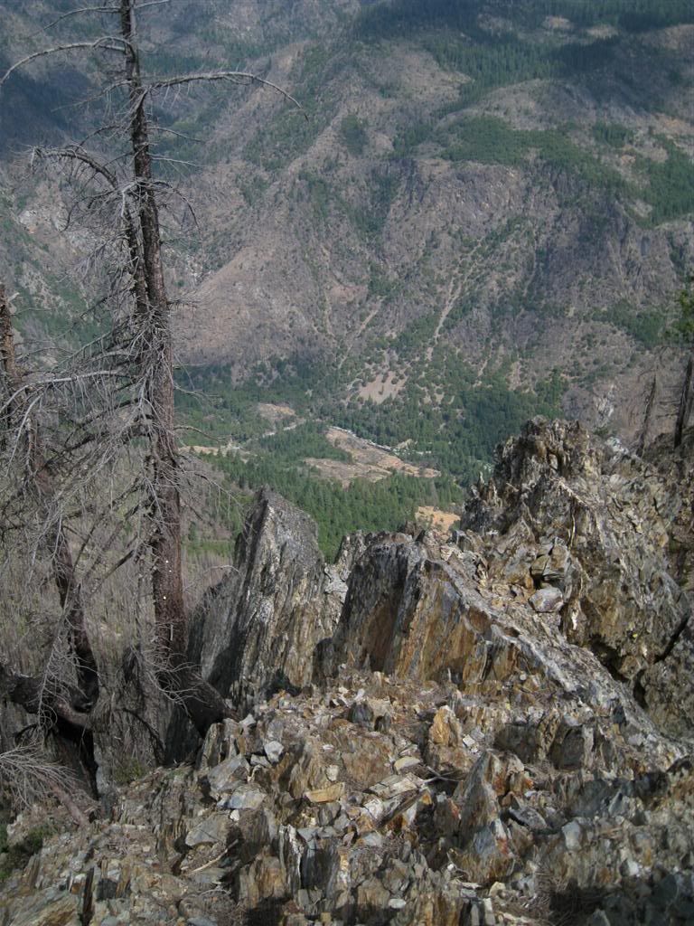
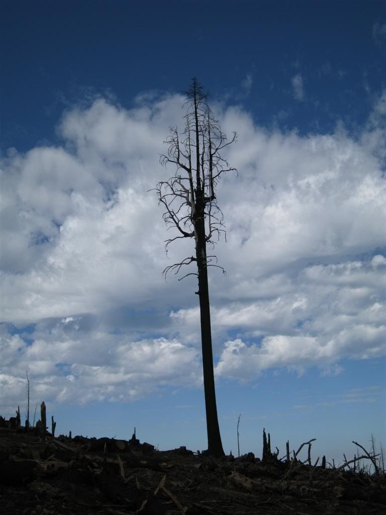
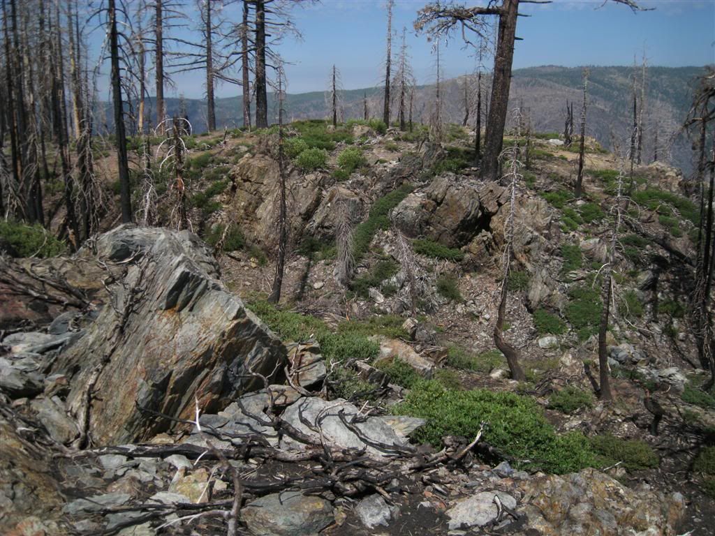
A lone survivor of the fire clings to the cliff.
Both sides of the river were burned - lightning caused the Westville fire on this side and the Government Springs fire on the other. Big Valley Bluff is on the opposide side, the largest prominence of rock in the view here.
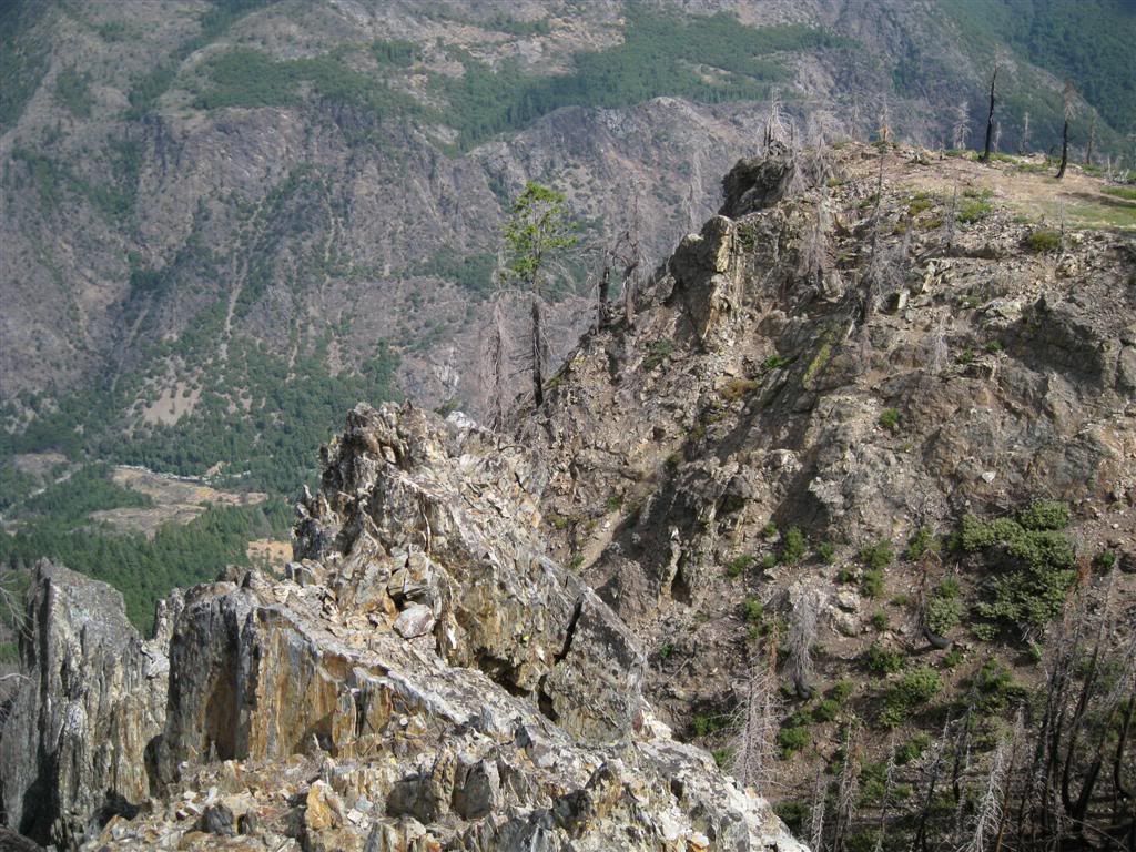
Big Valley (the canyon on the other side) is visible above the rock. I can see people have walked out on this rock - not me, thanks!
Unfortunately, many vistas have been opened up by the fires, but such is the cycle of nature here. Wolf Mountain near Grass Valley is the little bump on the horizon, and the coast range on the other side of the valley is faintly visible.
On to other places. Tadpole is a spur off of Foresthill Rd, so I moved to Robinson Flat and unloaded again. A short ride over to Barney Cavanah Ridge and a spur led me to this.
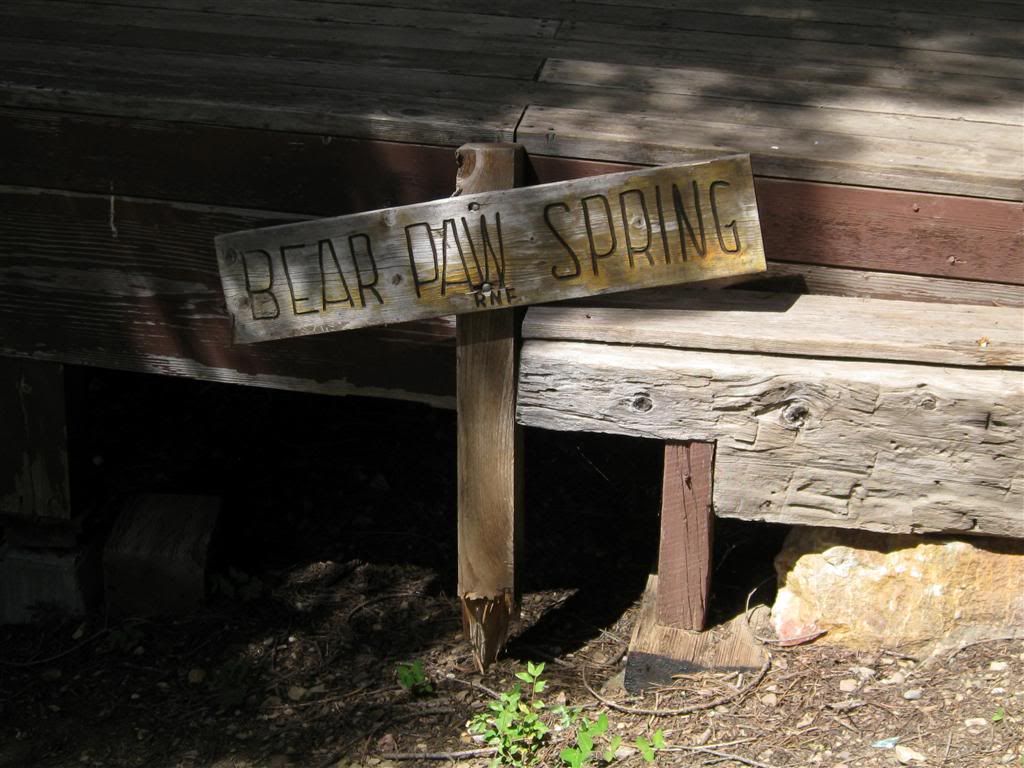
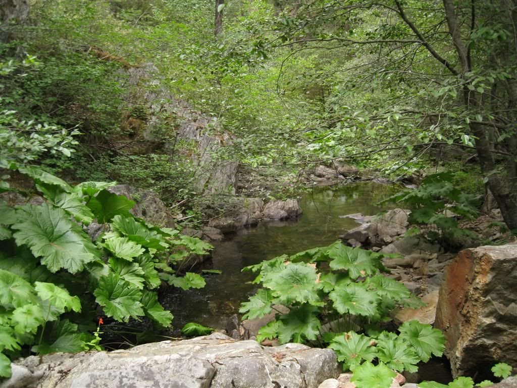
Bear Paw Spring has a nice deck that someone constructed years ago. It's more of a little creek - it's source is above this point.
Right at this spot - which probably explains the outhouse and deck - is an old "take", where a miner's ditch "took" the water from its course below. The ditch is faintly visible here and probably supplied the "Barney Pits" near here.
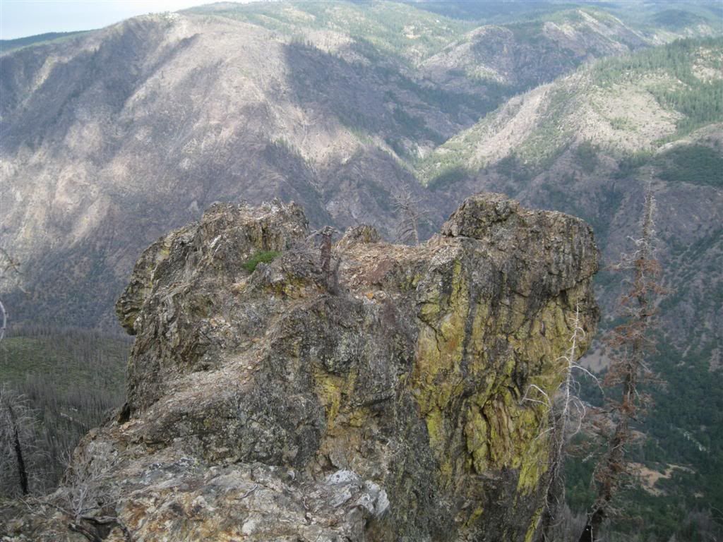
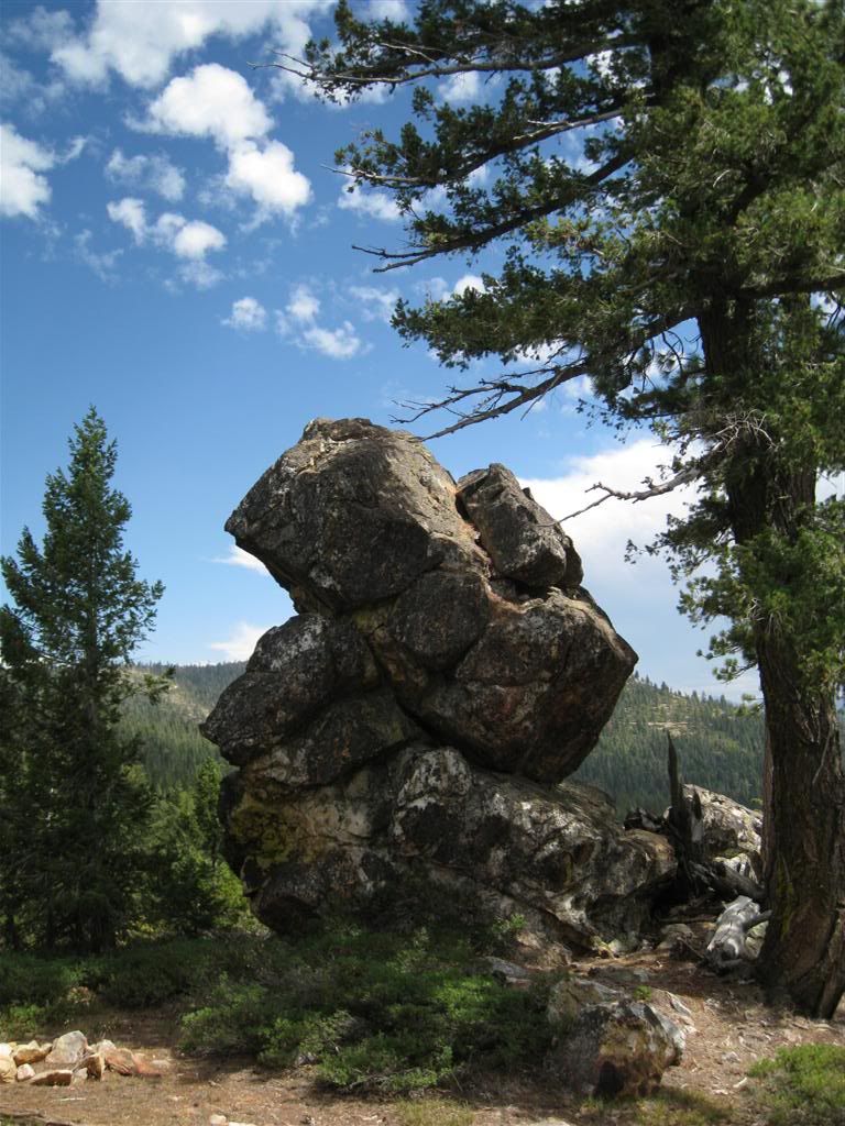
Not far from the spring, on Cavanah Ridge, is this great rock. It's just waiting to slide off, but it's sure locked into place for now!
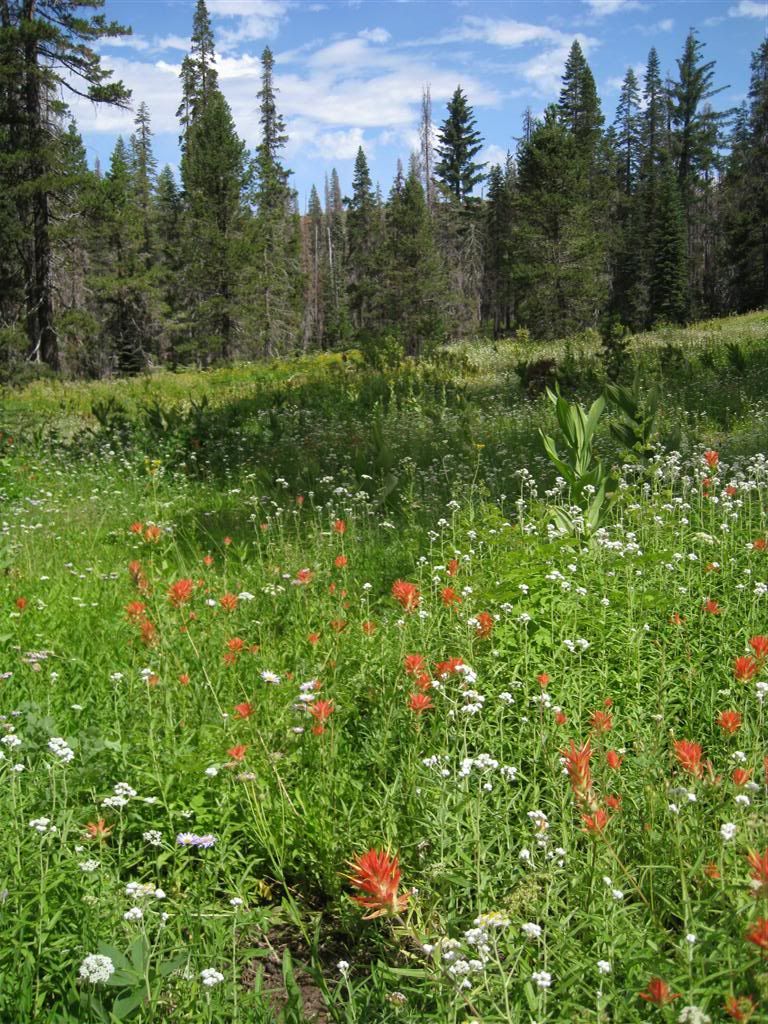
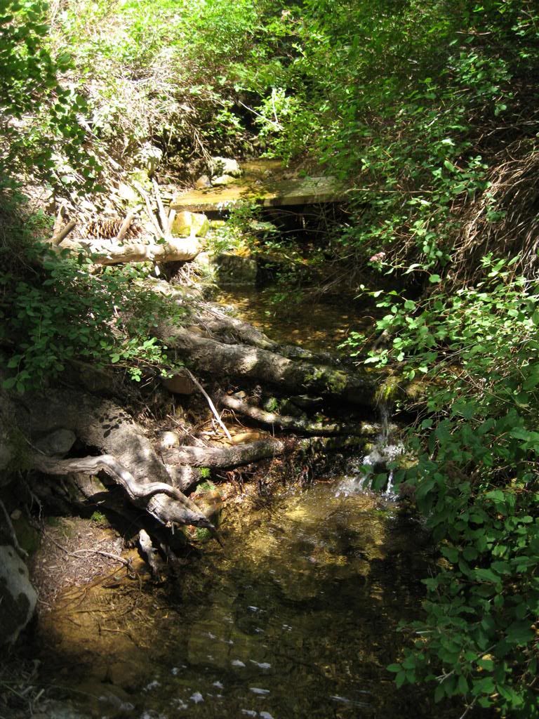
Another visit to Deep Canyon Creek
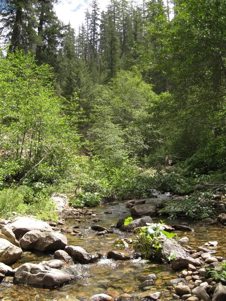
It's really a pleasant spot.
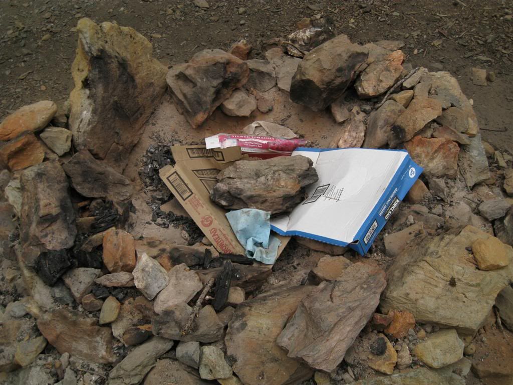
Except for "campers" who leave their crap here for someone else.
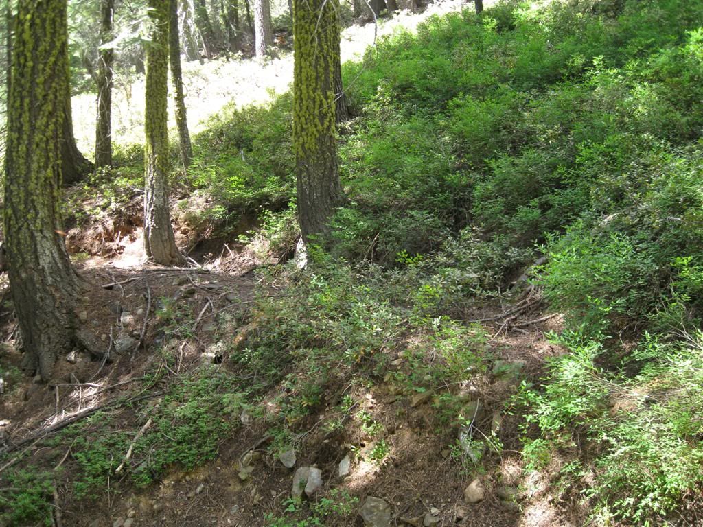
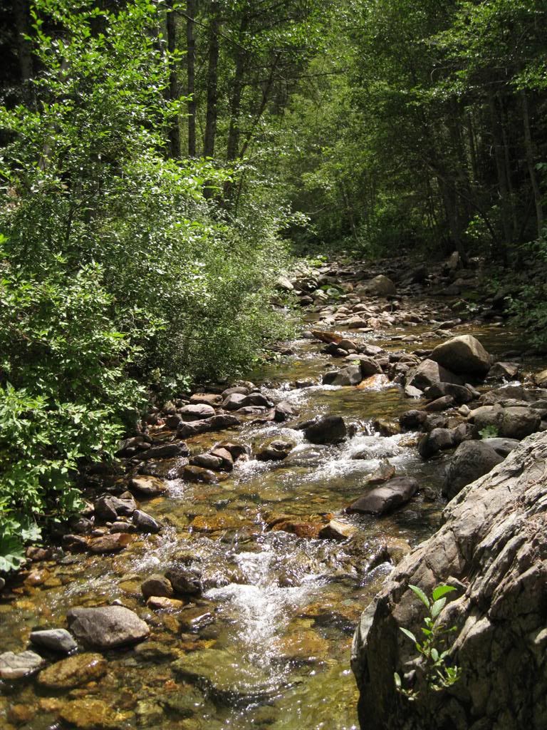
Further over, almost to FR-96, is Peavine Creek and another pleasant spot.
But why do people feel the need to dam up the creek? It doesn't do anything for the scenery.

Anyway, from that point, it's just a fast, drifty ride back to Robinson Flat but this time via Last Chance Road and the 43 road.