More of the 43/44 road area

Now post your ride photos

Moderator: hemingray

User avatar
hemingray
Certified: OBSESSED
Posts: 1898
Joined: Mon Mar 12, 2007 2:24 pm
Location: Auburn, CA

More of the 43/44 road area

Postby hemingray » Thu Aug 05, 2010 9:25 pm

Even if you aren't going riding, Mosquito Ridge Road is one of the most impressive drives in our area. We've taken guests up Foresthill Rd to see the North Fork American River canyon, then 5 miles of dirt on the 43 road to Mosquito Ridge Road and back to Foresthill, viewing the Middle Fork. Sunday I decided on Mosquito Ridge Road (a.k.a. FR-96) and another ride in the 43/44 roads area.

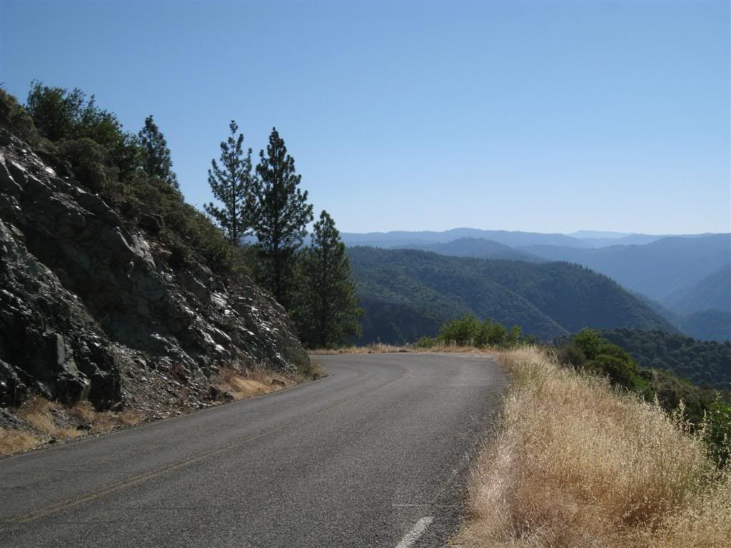
Here is a view as the FR-96 dops into the canyon just east of Foresthill.

Image

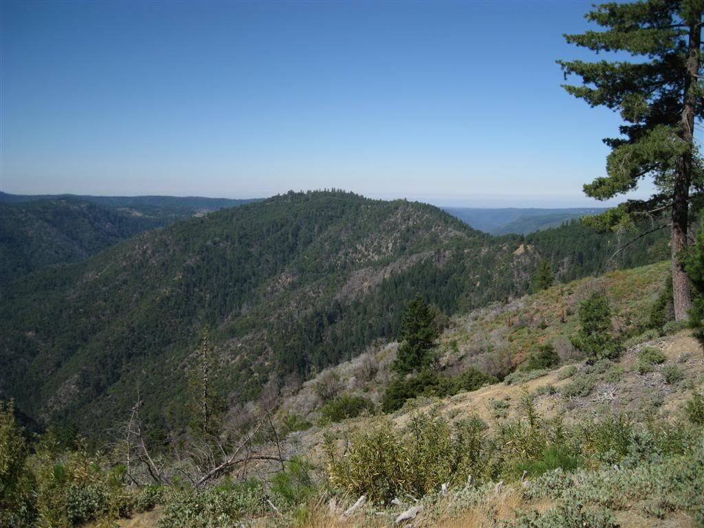
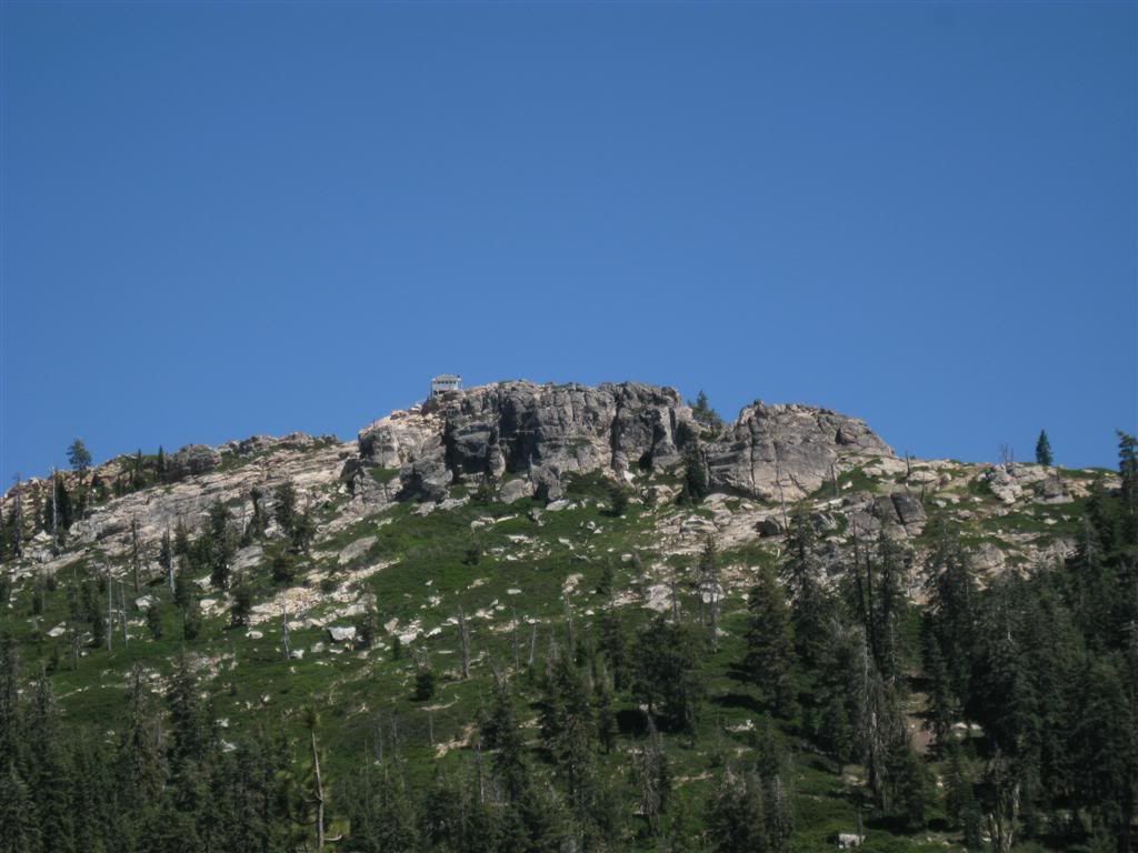
This is looking back at the last part of Mosquito Ridge (where a lookout once stood).

Image

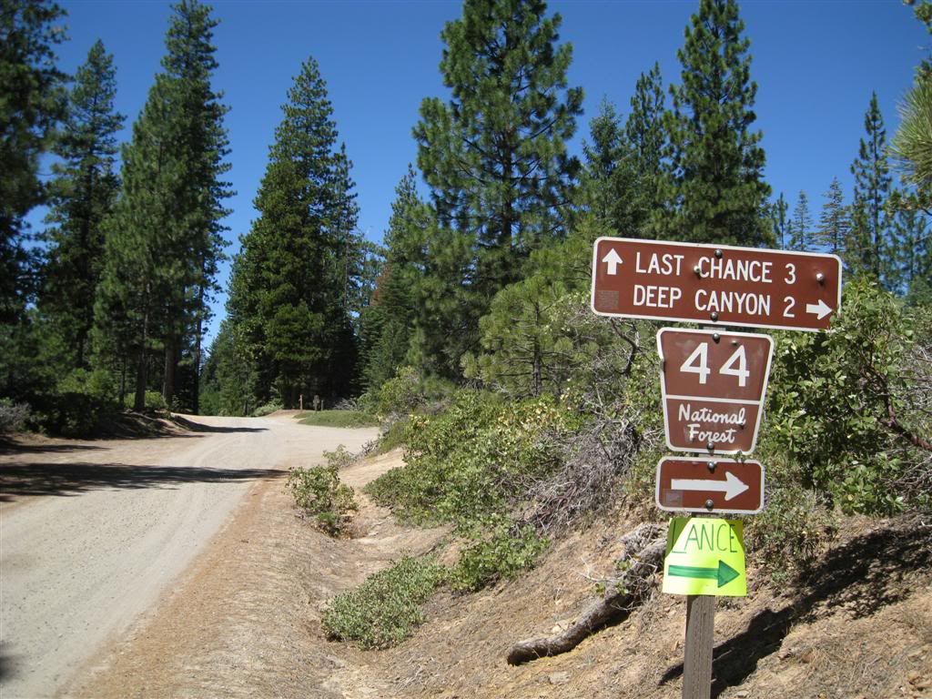
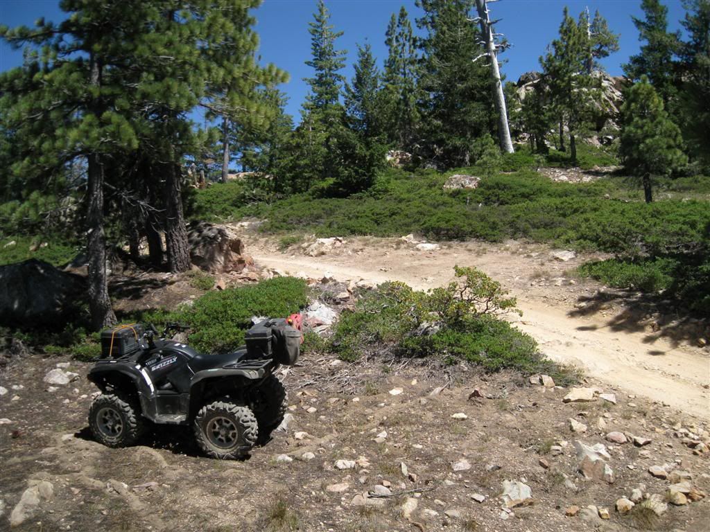
I rode down to the site of Last Chance on Deep Canyon Road - it's not really much to write home about - roads surrounded by brush with few views. Back to the junction of Deep Canyon Rd and a ride east on the 44 road back to the 43 road, most of which is on Barney Cavenah Ridge.

Image

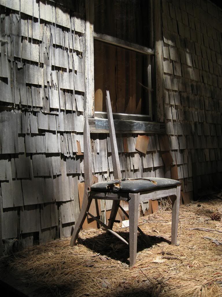
But before leaving Last Chance I snapped a pic of the only building in town.

Image

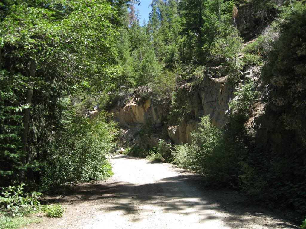
Deep Canyon Road, just before Deep Canyon Creek has impressive rock walls along the road.

Image

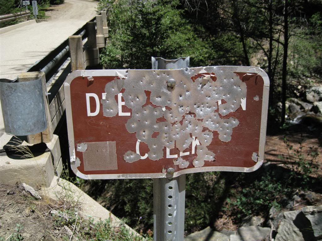
Stopped at the bridge to have a look.

Image

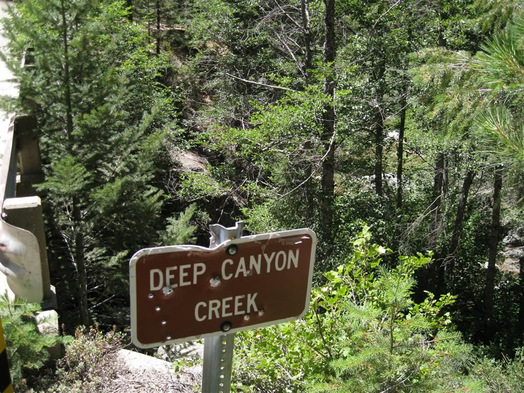
Actually, the above was on the other side - the Great American Hunter has been here.

Image

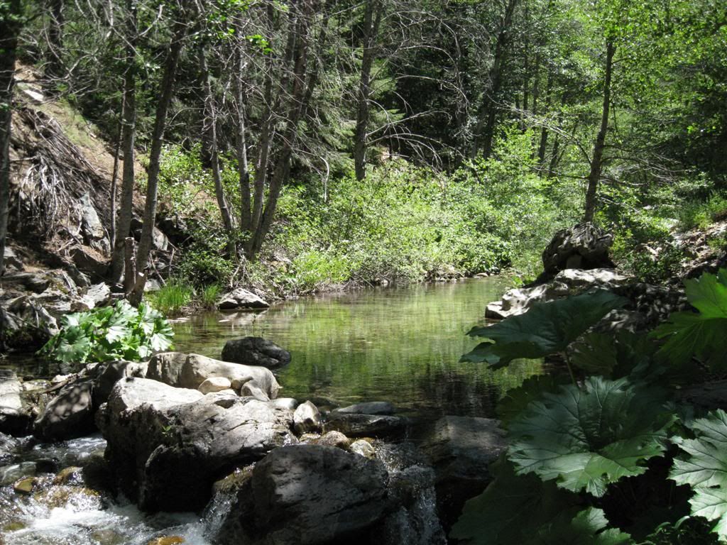
The creek is fabulous here, it was cool and refreshing to take a break here.

Image

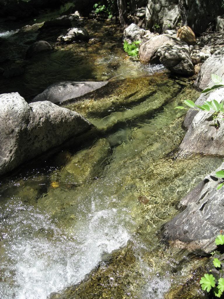
Downstream are many rocks, boulders and falls and upstream is a slow spot.

Image

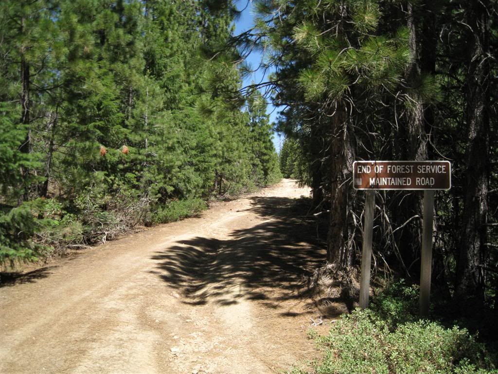
Continuing up the 44 road brings you to the beginning of the rougher ride.

Image

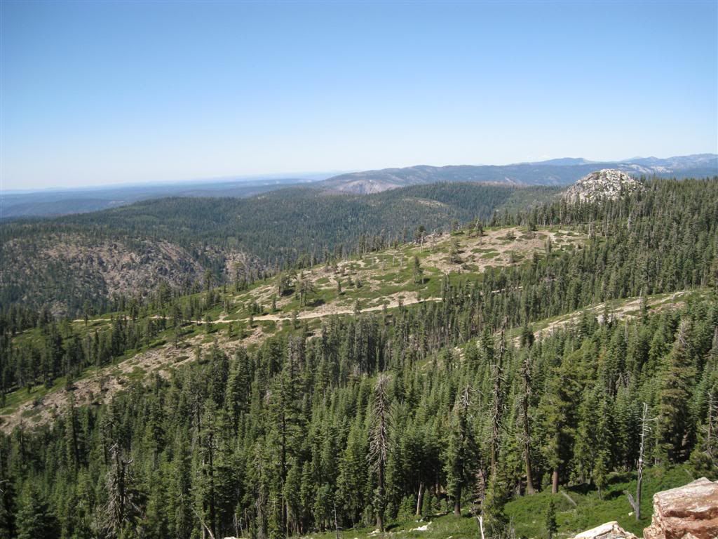
This shows what it looks like near the top of Barney Cavenah Ridge. Both this and Mosquito Ridge terminate at Little Bald Mountain.

Image

View to the NW from Barney Cavenah Ridge.

Image

Duncan Peak lookout (manned) is on top of Little Bald Mountain. (Duncan Peak, one mile northwest, was the site of the original lookout.)

Image

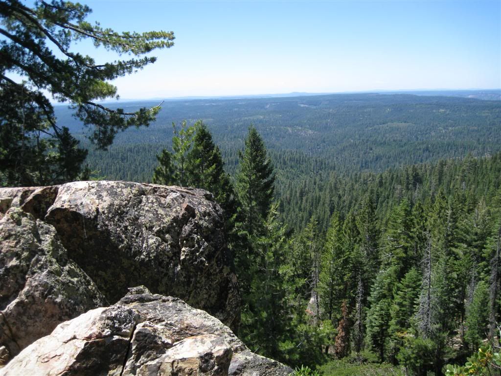
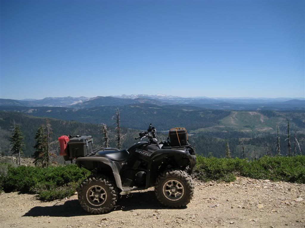
Nice view of the Sierra Crest from here. It has about a 340 degree view from the top!

Image

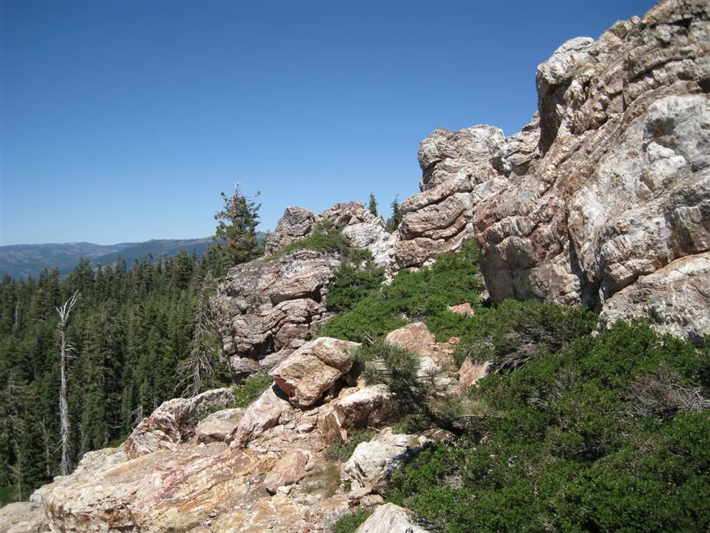
Duncan Peak is the granite knob visible here, and the road I came up is visible below. Big Valley Bluff is also visible from here - it's the rocky stuff in the center middle distance.

Image

The rocks at the top of little Bald Mountain are great - look at the folds in the rock.

Image

I visited with the USFS employee at the lookout for about 45 minutes and rode the 5 miles back down the 43 road and loaded up for home. Not wanting the twisty windy of Mosquito Ridge Road, I hauled the trailer back up the 43 road to Robinson flat and took the much faster Foresthill Road back.
Wherever I go, there I am

Paynes Creek 2016!

~~~~~~~~~~~~~~~~~~
16 Yamaha Wolverine R-Spec EPS SE
09 Yamaha Grizzly 700 FI 4x4 EPS

User avatar
EigerMike
Certified: OBSESSED
Posts: 1800
Joined: Wed Apr 23, 2008 5:05 pm
Location: Orland ca

Re: More of the 43/44 road area

Postby EigerMike » Thu Aug 05, 2010 10:02 pm

another great post and great pics ! keep up the good work! :)
South Side Keeper

Paynes Creek 2017

User avatar
avejoe
Knows UPS driver on a 1st name basis
Posts: 284
Joined: Thu May 03, 2007 8:21 pm
Location: Sacto

Re: More of the 43/44 road area

Postby avejoe » Fri Aug 06, 2010 10:43 am

I did this ride about a month ago on my road bike (the type you pedal). 60ish miles and lots of climbing up Mosquito Ridge Rd. Pushed up the dirt rd through snow to get to Robinson's Flat.

I did the ride on my new "quad-bike" last week (the type you twist the throttle). The view from the lookout at Duncan Peak is impressive.
07 Suzuki 700 King Quad (Sold)
05 Suzuki DRZ 400s (Sold)
04 Suzuki DL 650 (Sold)
02 BMW 1150RT
2006 Kawi KLR650
75 Honda CT70
77 Honda CT70
12 Toyota Prius V8

User avatar
GrizzlyGuy
Forever On The trail - RIP
Posts: 1411
Joined: Sun Jul 08, 2007 6:11 pm
Location: Truckee, CA
Contact:

Re: More of the 43/44 road area

Postby GrizzlyGuy » Fri Aug 06, 2010 12:52 pm

Deep Canyon Creek looks pretty good. Did you happen to see any campsites in that area? It looks like there might be a small one to the right of the most shot-up sign in your picture(?).
TV For Thrill Seekers: http://AdventureWorld.TV
More Videos: http://GrizzlyGuy.TV
Some More Videos: http://www.youtube.com/user/ATVGrizzlyGuy
Photos: http://www.GrizzlyGuy.com/ATVs
My quad: Grizzly 700, 25" Bighorns, Bash Plates,
Warn 2500 Winch

User avatar
hemingray
Certified: OBSESSED
Posts: 1898
Joined: Mon Mar 12, 2007 2:24 pm
Location: Auburn, CA

Re: More of the 43/44 road area

Postby hemingray » Fri Aug 06, 2010 2:16 pm

Maybe - I don't recall that spot in the picture specifically. Otherwise, the road has some stubs where it once crossed upstream without a bridge - there might be room for a camp on the north bank.

This crossing is at N39° 06.858' W120° 33.983'

This was one of the few streams I saw that was not dry.
Wherever I go, there I am

Paynes Creek 2016!

~~~~~~~~~~~~~~~~~~
16 Yamaha Wolverine R-Spec EPS SE
09 Yamaha Grizzly 700 FI 4x4 EPS


Who is online

Users browsing this forum: Google [Bot] and 117 guests