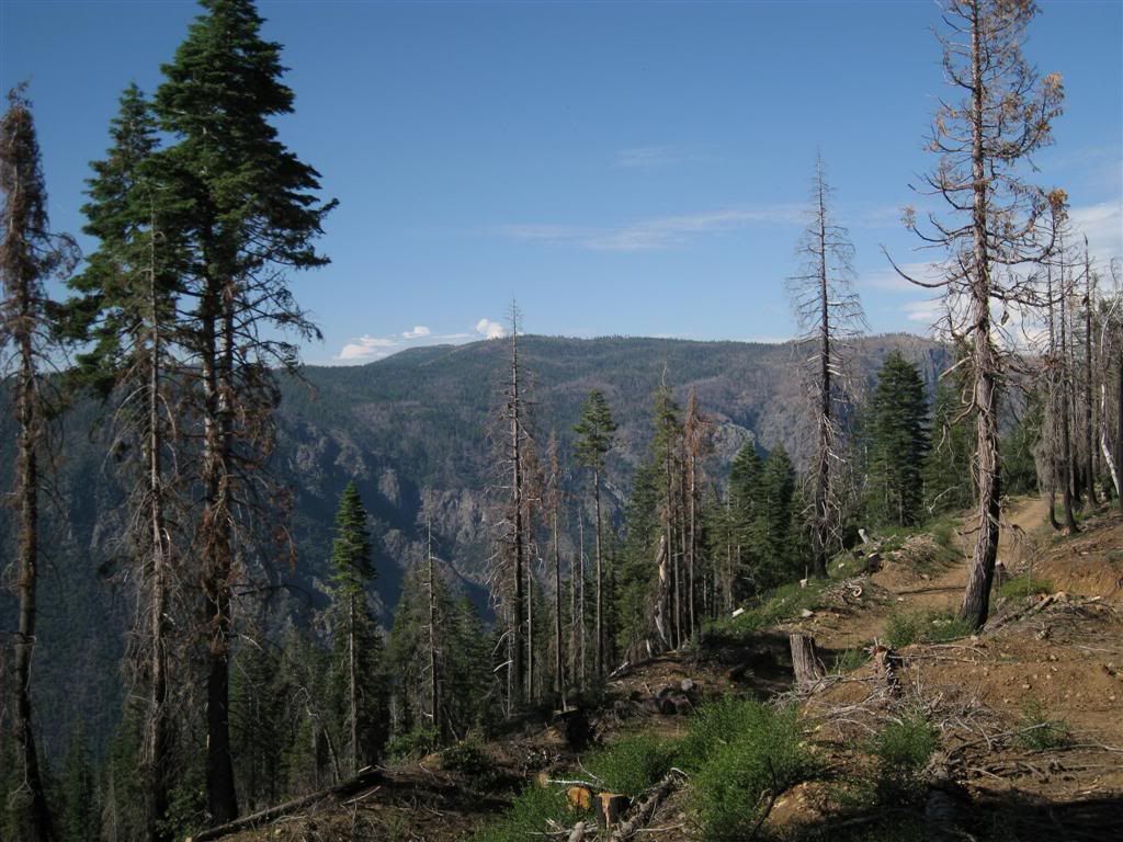
Despite a sunny start to the day, by the time I got to the North Fork canyon view near Westville, the clouds were gathering to the east.
Really cloudy - and it's raining over there (looking south towards US50)
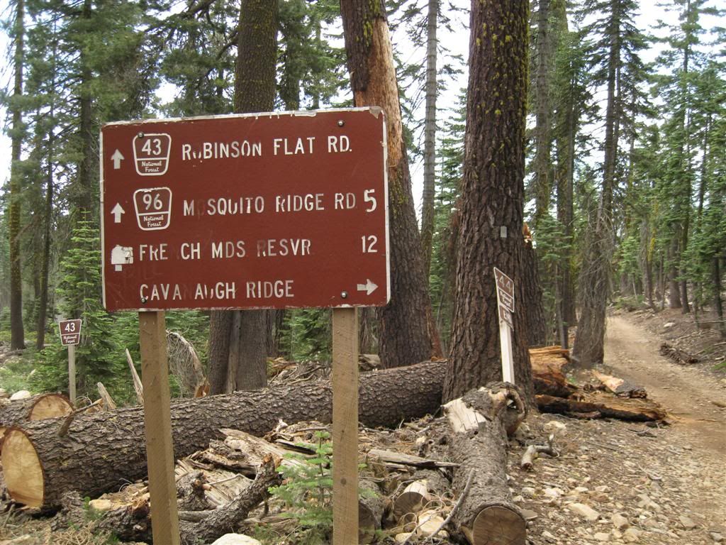
Over off Foresthill Rd is a sign for Function Junction, so this must be Malfunction Junction. This sign is actually placed wrong - Cavenah Ridge (mispelled here too) is the 44 road, straight away from the camera.
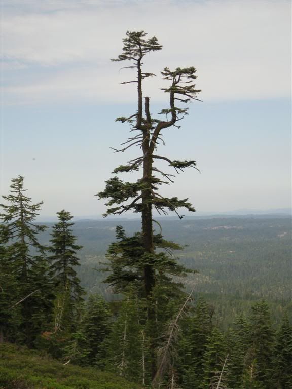
Every good ride has a good tree!
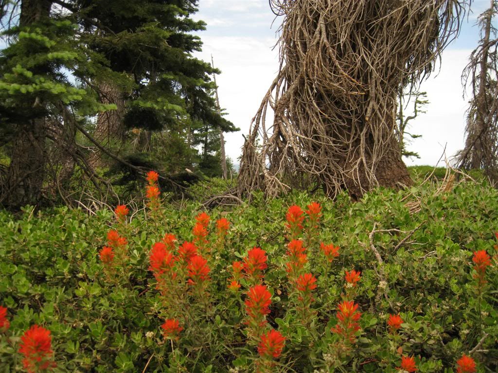
Spring in July - the paintbrush is vivid.
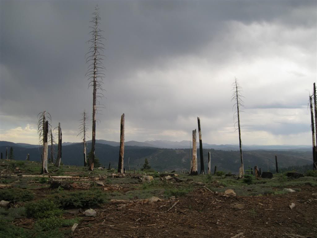
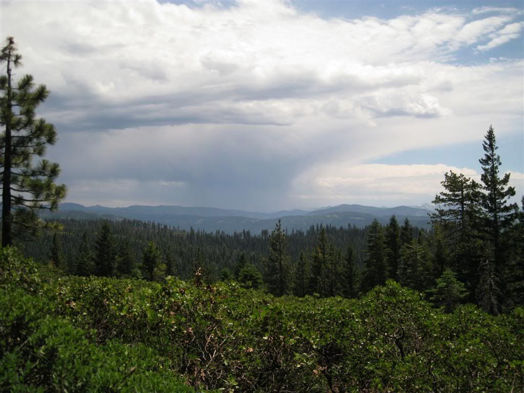
The skies continued to look like rain and I got spattered but not enough to put on the raingear yet.
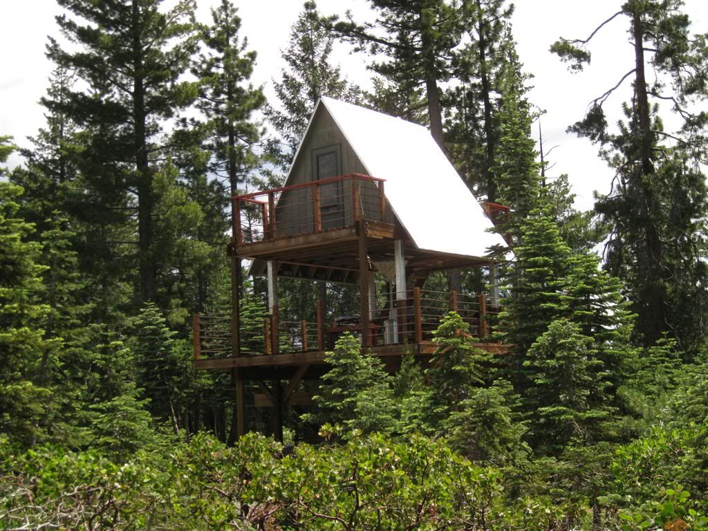
A very odd cabin. Top floor enclosed, middle is a big covered deck. The bottom is caged and enclosed. Kinda cool.
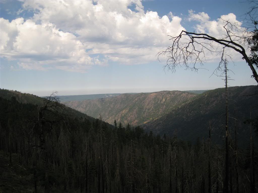
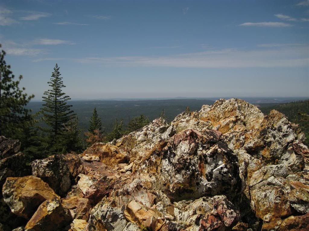
The sun came out, affording a nice view to the west above a small ridge outcropping.
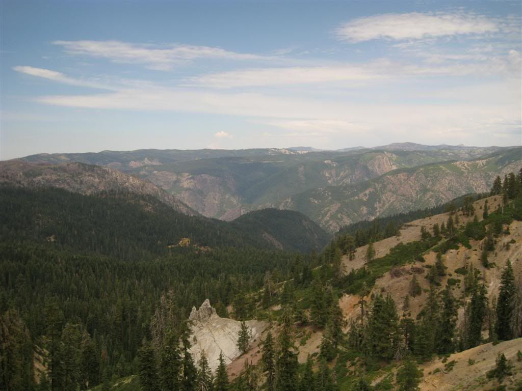
Returning to Soda Springs Road, a nice view of the North Fork Canyon. The forested hump in the middle off the picture divides New York Canyon on the left and Sailor Canyon on the right. The small brown area in the middle of the forested area is the Sailor Canyon Mine, which I will visit in a bit.
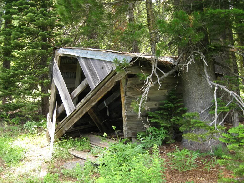
Further down Soda Springs Road, on a side road, is the remnant of the Lost Emigrant Mine.
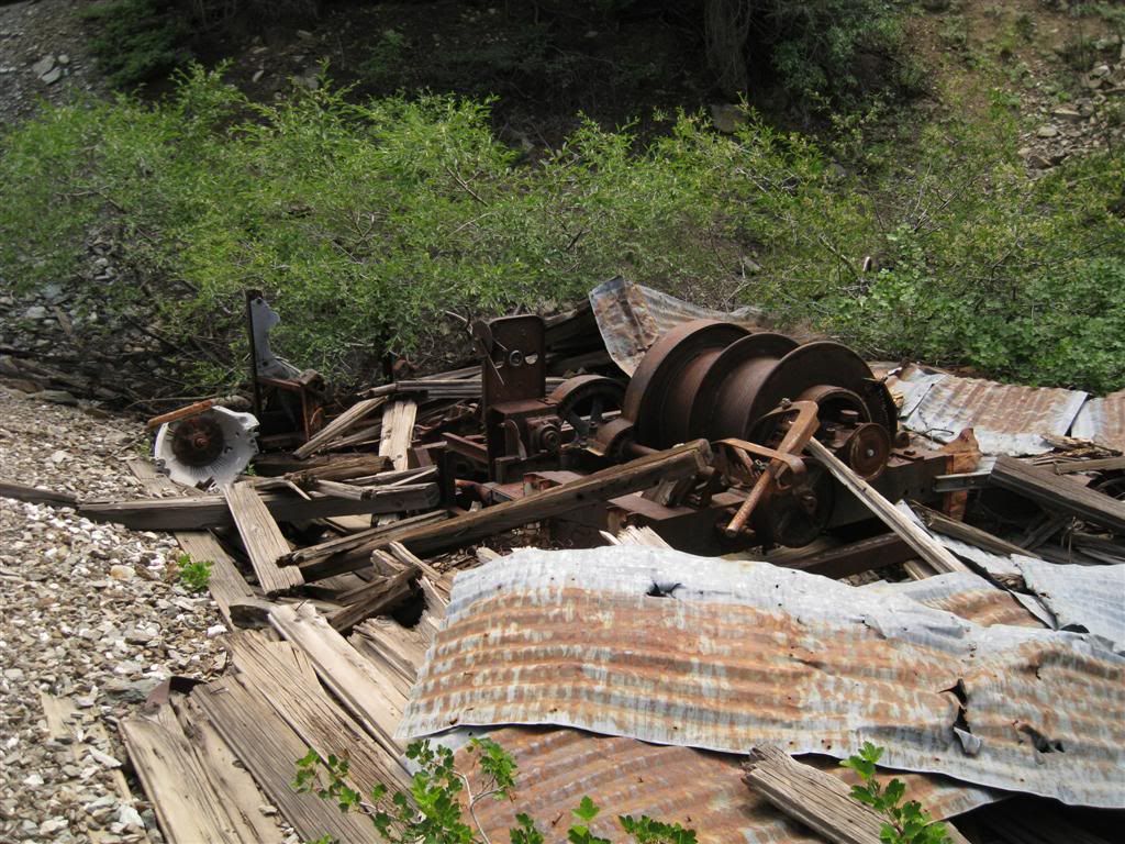
Continuing from the camp, situated on a very lush meadow, a steep rocky climb brings you to another mine, no doubt later in vintage as there's a rusty V-8 engine block in the winch machinery.
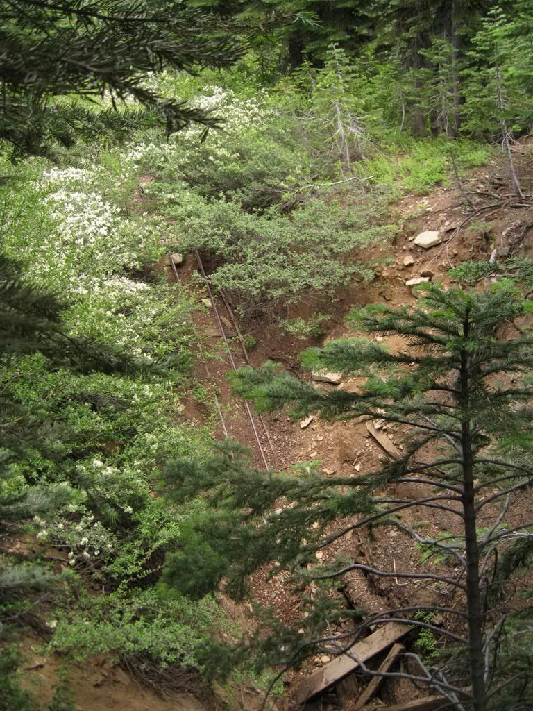
Riding a little further up the hill produces the mine shaft, with rails leading down.
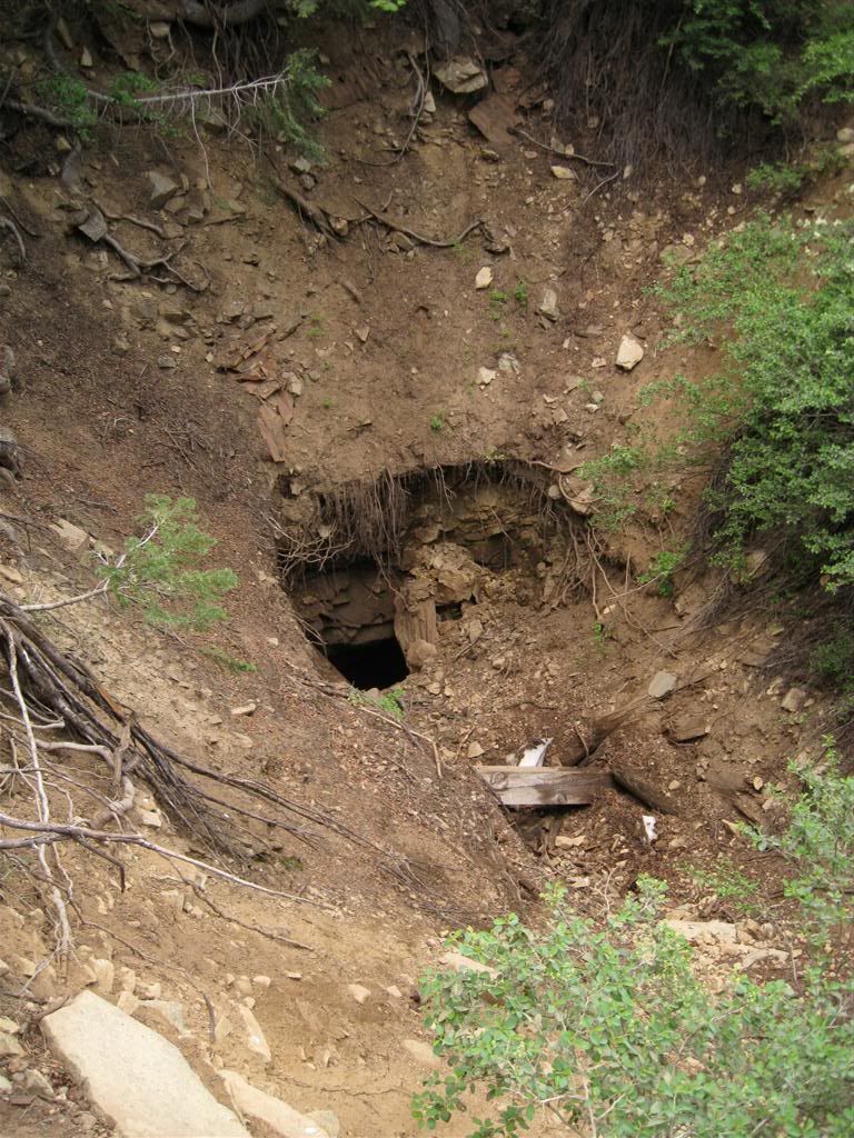
The view from the other side shows a shaft. Tossing some rocks down showed the shaft is still open. The clattering went on for a bit - a deep one. The little white patch at the bottom is snow!
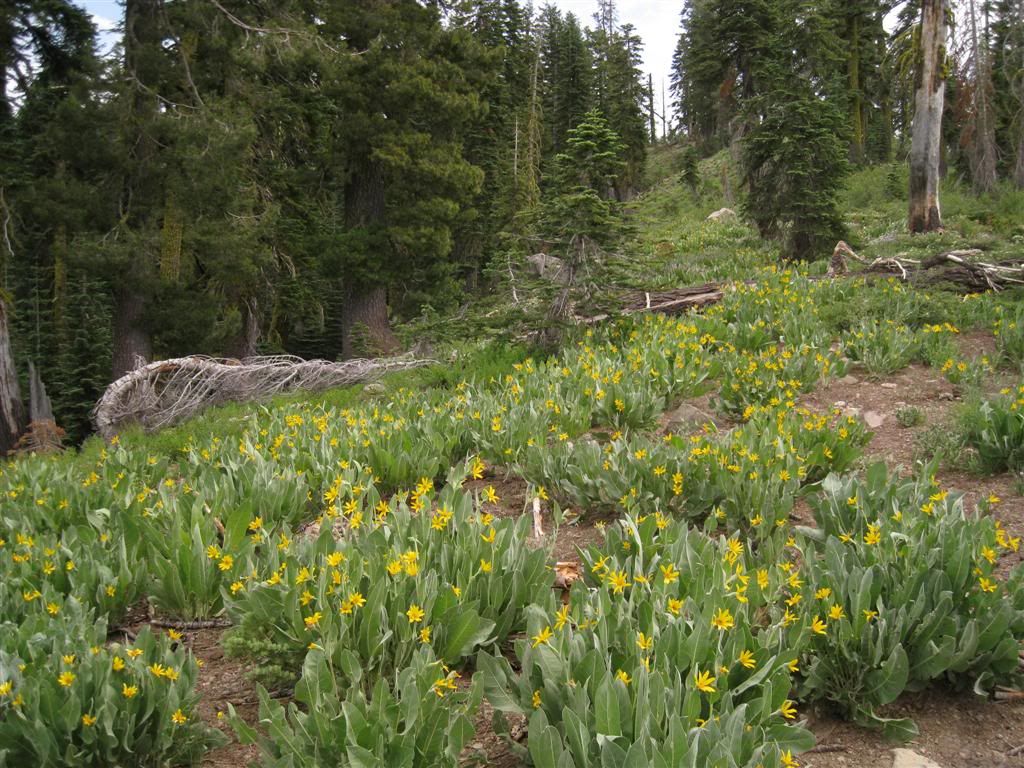
Back up the ridgetops, the rabbit ears are in bloom. Very fragrant when riding past these "fields".
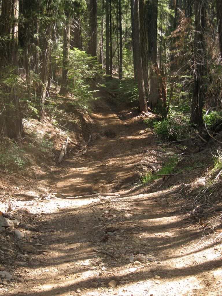
Back to Robinson Flat and loaded up the quad. Then 1.5 miles west on Foresthill Road brings you to the Sailor Flat Rd. I unloaded and ran down to Sailor Flat itself. From there, I rode down the "jeep trail" shown on maps down to the trailhead for the Sailor Flat trail. While it's suitable for 4WD vehicles, it's quite steep. There is room for maybe 9-10 vehicles at the bottom. Anyway, this is a look at one of the steepest sections. I wish I had taken more pictures - it was fascinating down there.
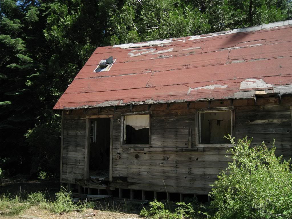
Back up at Sailor Flat proper is the old bunkhouse for the nearby mine.
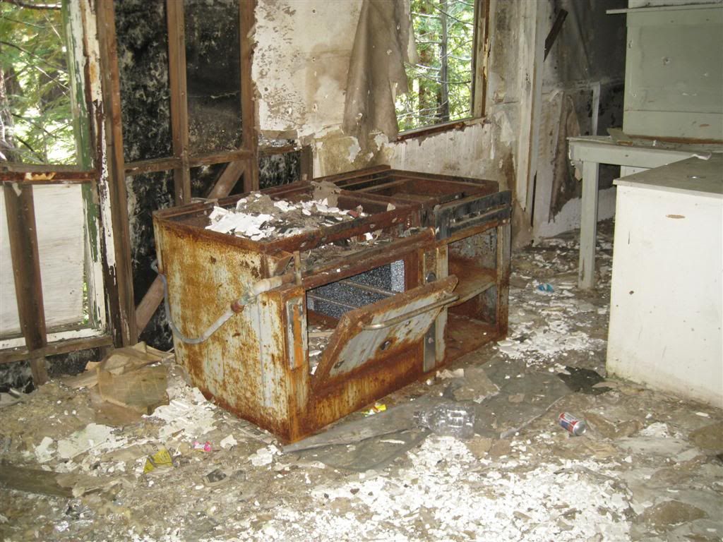
Dinner anyone?
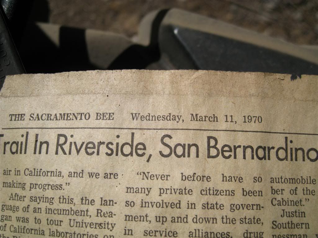
The ceiling of the kitchen/dining area had shreds of newspaper stapled to it - insulation perhaps? I found one that had a date.
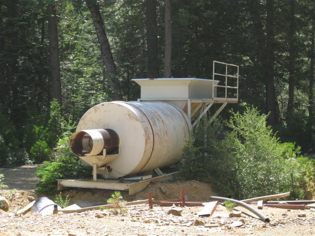
The only remnant here is an old gravel tumbler.
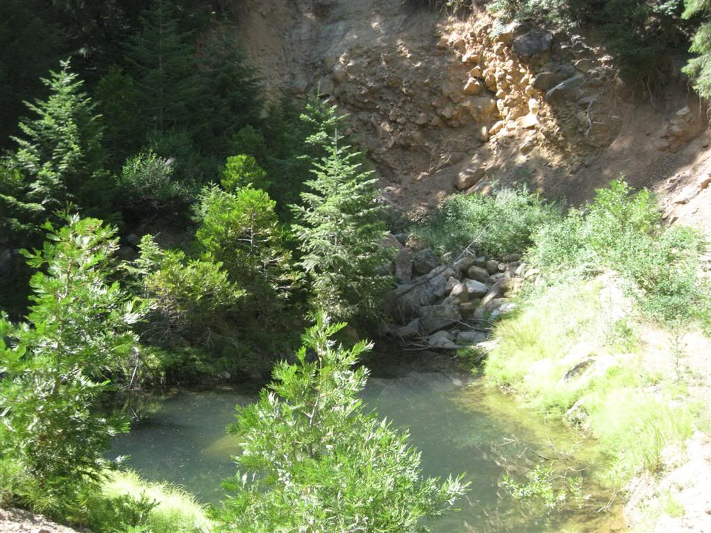
There is a pond just below the mine adit (which has been long-filled in).
And I'm outta there. This is a view a number of miles down Foresthill Road, near the shot in the morning. Across the canyon is Sawtooth Ridge, one of the areas I love off of Forest Road 19. Visible below is the old Iowa Hill Ditch, which looks like a road here.