
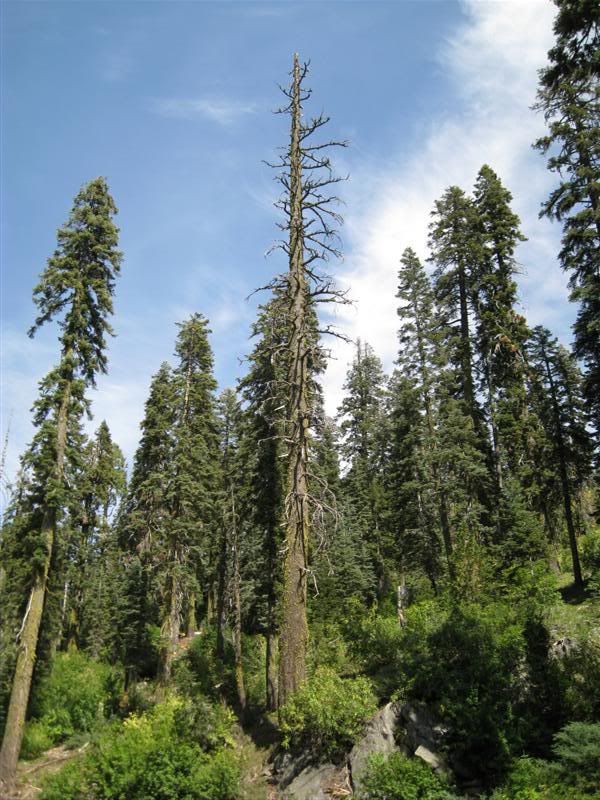
Anyway, I discovered some new routes and new views - a cool afternoon.
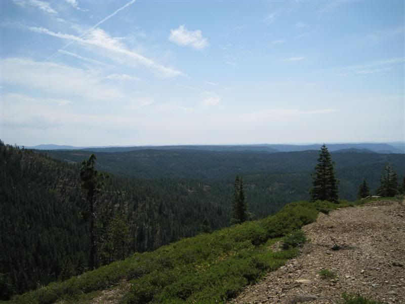
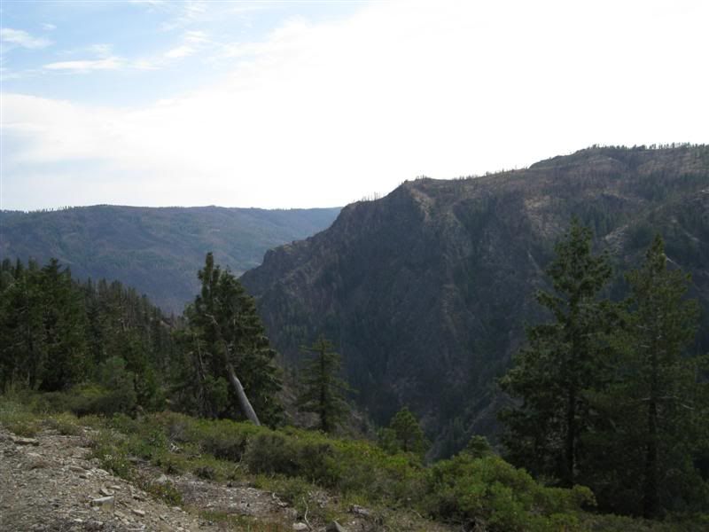
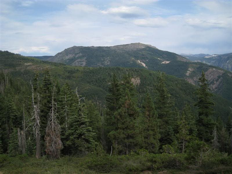
Nice view down, below Quartz Mountain. I'll be back by this spot, this road ends at a log landing... (don't they all!)
But, it's a nice one...
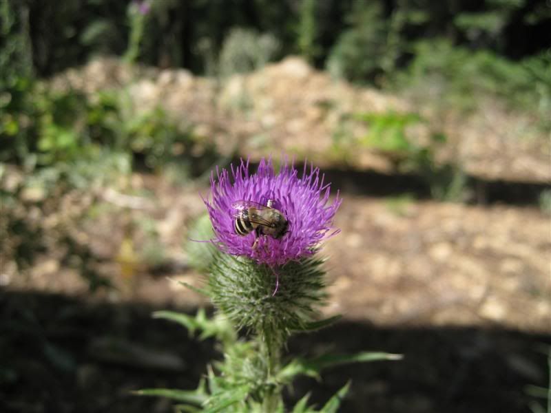
There were a lot of thistles.
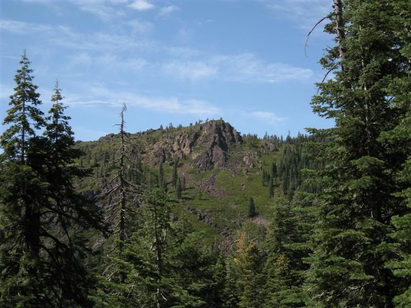
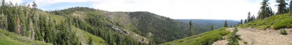
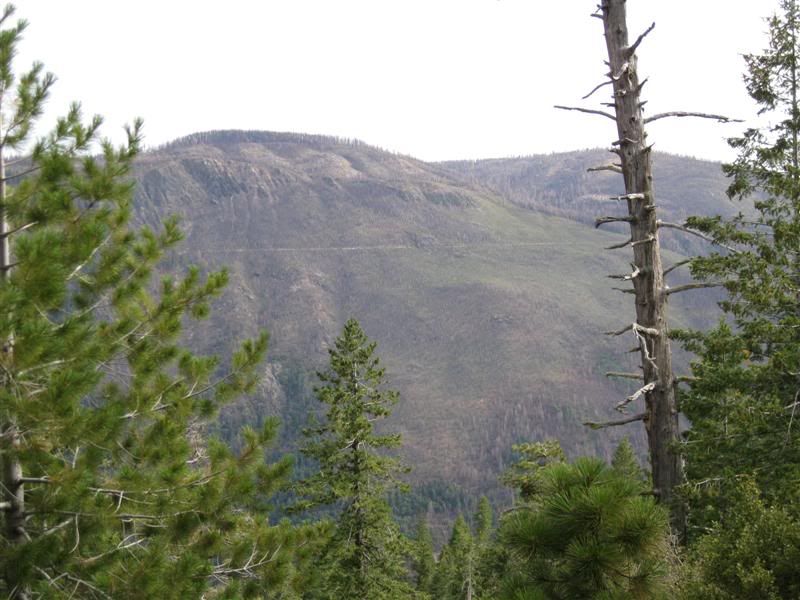
A nice view of Monumental Ridge
A look back at the view below Quartz Mountain.
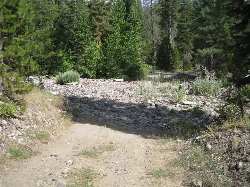
Found a nice cutoff from FR-19 to FR-38 though Big Valley. The creek is dry now, but it must be sporty in the spring and early summer.
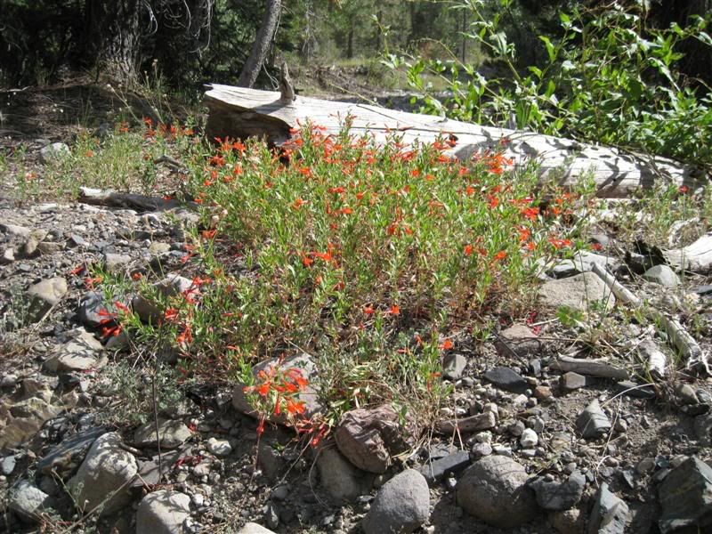
No water, but still a lot of color here. The road from here was really brushy for most of the way to the junction.
This ridge that makes up Sugar Pine Point follows down Big Valley and has a nice view of Big Valley Bluff from below.
The road crosses to the other side of the ridge and has a nice view of Snow Mountain. The near ridge is Cherry Point.
Across the North Fork American is the remnant of the Iowa Hill Canal tracing it's way upstream.
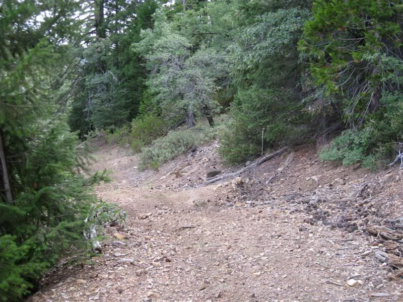
Out at the end of Sugar Pine point the road becomes pretty small and it ends at a skid trail.
All day long the clouds made for interesting views. Nothing spectacular, but a lot of moisture was being pushed over us but there weren't enough good dynamics to make for T-stoms.


